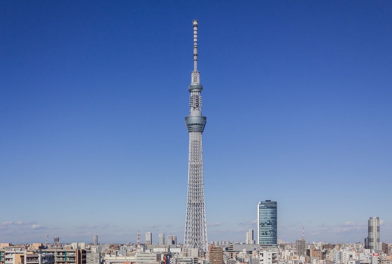
 Tokyo Skytree
Source: http://commons.wikimedia.org/wiki/Category:Tokyo_Skytree#mediaviewer/File:Tokyo_Sky_Tree_2012_%E2%85%A1.JPG
Author: Kakidai

Author: Kakidai

Tokyo Skytree is the tallest building in Japan. It is located in the Narihirabashi/Oshiage neighborhoods in Sumida ward, Tokyo. Standing at a full height of 634 meters (2,080 ft), it is also the tallest free-standing tower in the world and the tallest man-made structure in Japan.
Tokyo Skytree was built primarily for television and radio broadcasting. This is to provide better coverage than the 333-meter (1,093 ft) Tokyo Tower, which is no longer tall enough to provide complete coverage for digital terrestrial television broadcasting.
The name Tokyo Skytree was chosen through a naming competition followed by a vote for the six names selected by the naming committee from suggestions submitted by the general public. Of these, Tokyo Skytree received 33,000 votes representing 30% of the 110,000 votes cast.
Construction of Tokyo Sky Tower began with the ground breaking ceremony on 14 July 2008. When the 2011 Tohoku Earthquake hit Japan on 12 March 2011, construction was temporarily halted for a full inspection. At that time, the tower had reached a height of 625 meters, just 9 meters shy of its full height of 634 meters reached 6 days later at 1:34 pm on 18 March 2011.
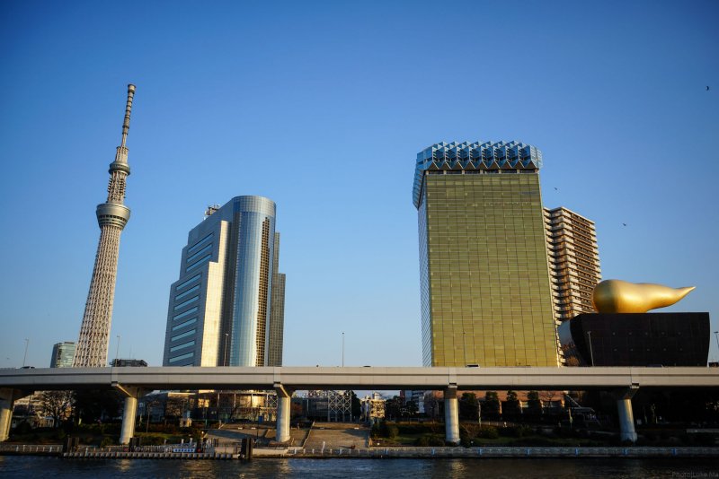
 Tokyo Skytree
Source: http://commons.wikimedia.org/wiki/Category:Tokyo_Skytree#mediaviewer/File:Tokyo_skyline_-_Sony_A7R_(11924331285).jpg
Author: Luke Ma

Author: Luke Ma

The height of 634 reads mu-sa-shi in Japanese, relates to the old name of the site where the tower stands, Musashi. The Tokyo Skytree will be illuminated at night by two different illumination patterns, one of sky blue, the other purple, and this will be alternated daily.
At the base of Tokyo Skytree is a massive shopping mall covering 3.69 hectares. It will be connected to the Oshiage Subway Station and Narihirabashi Railway Station. The tower lobby is located at Level 4 of the mall.
How to go to Tokyo Skytree
You can take the Asakusa Line (A-20) or the Hanzomon Line (Z-14) to the Oshiage Subway Station or the Tobu Isesaki Line to the Narihirabashi Railway Station. Latest updates on Penang Travel Tips
 Map of Roads in Penang
Looking for information on Penang? Use this Map of Roads in Penang to zoom in on information about Penang, brought to you road by road.
Copyright © 2003-2025 Timothy Tye. All Rights Reserved.

 Go Back