Yamaguchi Prefecture (山口県) is the westernmost prefecture of Japan on the island of Honshu. It covers 6,110.94 sq km and has a population of 1.5 million people. Yamaguchi City is the capital while Shimonoseki is the largest city. The prefecture is bordered by Shimane Prefecture to the north and Hiroshima Prefecture to the northeast. It has a coastline facing the Inland Sea to the south and the Sea of Japan to the north. The island of Shikoku is located to the east of Yamaguchi Prefecture, while the island of Kyushu is to the south.
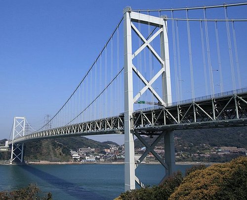
 Kanmonkyo Bridge, across the Kanmon Straits, between Shimonoseki and Kitakyushu in Kyushu Island
Source: http://commons.wikimedia.org/wiki/File:KANMONKYO_Bridge.jpg
Author: Suzumiya Haruka

Author: Suzumiya Haruka

Yamaguchi Prefecture was created during the Meiji Restoration in 1872 from the former Suo Province and Nagato Province. These in turn were created from the merger of seven counties during the 7th century.
Traditionally an agricultural region, Yamaguchi Prefecture experienced rapid industrialization during the Taisho period (1912-1926), where the coastal cities were developed for shipbuilding, manufacturing, heavy metal industries. Today Yamaguchi Prefecture is one of the most industrialized in Japan, with the petrochemical industries forming a predominant part of its economy.
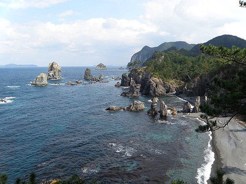
 Omijima, Yamaguchi Prefecture
Source: http://commons.wikimedia.org/wiki/File:Omijima20090301.jpg
Author: Bsx

Author: Bsx

Planning your trip to Yamaguchi Prefecture
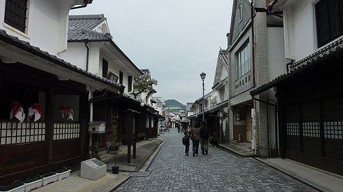
You can fly from Tokyo Haneda Airport to Ube Airport (UBJ) in Ube City, Yamaguchi Prefecture. Alternatively, there are trains to the Shin-Yamaguchi Station, operated by West Japan Railway. The Sanyo Shinkansen bullet train has its terminus here. Historic district, Yanai City, Yamaguchi Prefecture
Source: http://commons.wikimedia.org/wiki/File:Yanai_City_01.JPG
Author: Sanjo

Author: Sanjo

Cities of Yamaguchi Prefecture
- Yamaguchi - capital
- Shimonoseki - largest city
- Hikari
- Kudamatsu
- Mine
- Nagato
- Sanyo Onoda
- Shunan
- Ube
Tourist Attractions of Yamaguchi Prefecture
- Hagi
- Hofu
- Iwakuni
 Latest updates on Penang Travel Tips
 Map of Roads in Penang
Looking for information on Penang? Use this Map of Roads in Penang to zoom in on information about Penang, brought to you road by road.
Copyright © 2003-2025 Timothy Tye. All Rights Reserved.

 Go Back