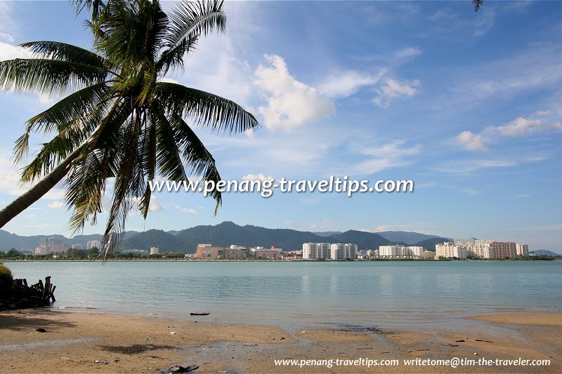
 Jerejak Strait, as seen from Pulau Jerejak to Penang Island (29 November 2009)
Jerejak Strait or Selat Jerejak is a narrow strait in the South Channel of Penang. It separates Pulau Jerejak from Bayan Lepas on Penang Island. The strait is shallow in most places. A number of rivers empty into it from Penang Island, among them Sungai Nibong Besar, Sungai Nibong Kecil and Sungai Keluang.
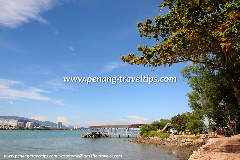
 The old Jerejak Prison Pier facing the Jerejak Strait (29 November 2009)
The current on Jerejak Strait often carries debris and trash to the coast of Pulau Jerejak. Due to the current, the coast of Penang Island was lined with mangrove swamps while on the Jerejak side, it is mostly sandy beaches. Since the mid 1980s, much of the mangrove forests on the Bayan Lepas coast have been cleared. The land was reclaimed, extending the shoreline outward and developed into Phases III and IV of the Bayan Lepas Free Industrial Zone. Today only a pocket of mangrove remains in Batu Maung.
In the early 19th century, the Bayan Lepas coast of Jerejak Strait, where Bayan Baru now stands, was earmarked for a township that never materialize. The settlement was proposed by the Duke of Wellington as the area was regarded as better positioned for defence and shelter. Local landowner (and former partner of the deceased Captain Francis Light) James Scott took it upon himself to name the settlement Jamestown. The township did not take off because by then George Town was already well established and townsfolk refused to relocate.
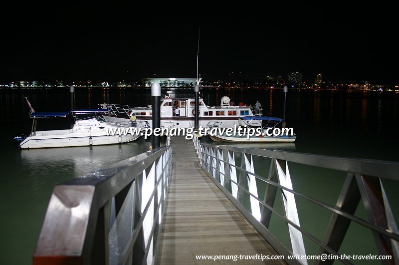
 The Jerejak Resort Jetty facing the Jerejak Strait at night (21 February 2004)
View Jerejak Strait, Penang in a larger map

Copyright © 2003-2025 Timothy Tye. All Rights Reserved.

 Go Back