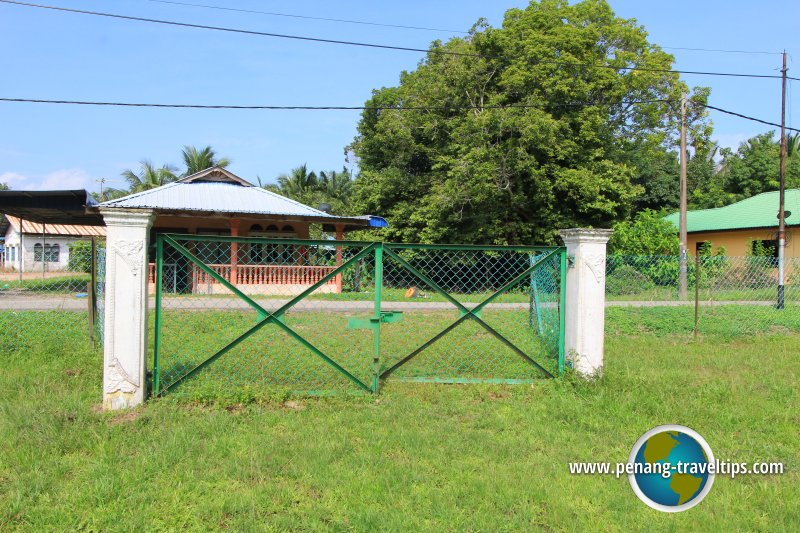
 Kampung Kota, Seberang Perai, as seen from the gates of the Kedah Royal Cemetery (22 July 2015)
Kampung Kota (GPS: 5.43002, 100.43287) is a village in Permatang Pauh, Seberang Perai Tengah. The village is located on the south side of Sungai Perai. I learned (but have yet to verify) that between 1800, when Province Wellesley was ceded to the British, and 1821, when Siam attacked Kedah, the border of Province Wellesley was marked by Sungai Perai. For that reason, when Siam unleashed its wrath at Kedah, creating a horde of Kedahan refugees, members of the Kedah royal court chose to resettle across the Kedah border in Penang, on the site they named Kampung Kota.
The name "Kampung Kota" means "fortified village". This refers to rudimental fortifications erected by the Kedahan settlers to prevent further molestation. To keep themselves safe from Siamese attacks, they settled in Province Wellesley, a British territory, much to the chagrin of the British administrations, which were not keen to upset the Siamese by harbouring them but could do nothing to eject them. Even more distressing to the British was that between 1821 and 1839 the Kedah noblemen used Kampung Kota as their base for launching attacks against the Siamese, which is headed by the Raja of Ligor, (viceroy of Nakhon Si Thammarat).
Map of Kampung Kota, Seberang Perai
 Sights in Kampung Kota
- Kedah Royal Cemetery (GPS: 5.43145, 100.43739)

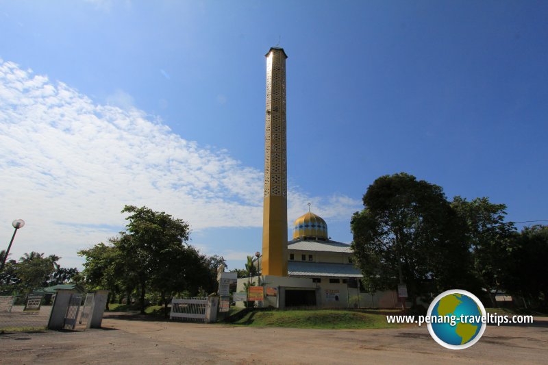
- Masjid Jamek Al-Falah (GPS: 5.42995, 100.43426)

- Medan Selera Sri Tambang Mee Udang (GPS: 5.43068, 100.43132)

 Masjid Jamek Al-Falah, Kampung Kota (22 July 2015)
Kampung Kota on Google Street View
(Nov 2015)Kampung Kota is  on the Map of Seberang Perai
List of Villages on Penang Mainland

Copyright © 2003-2025 Timothy Tye. All Rights Reserved.

 Go Back