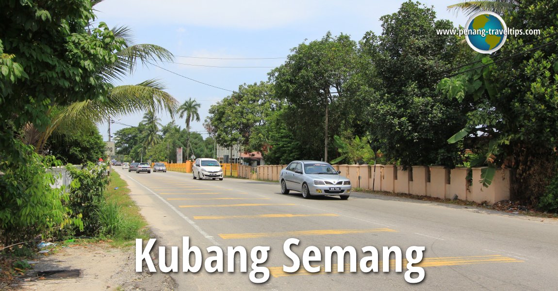
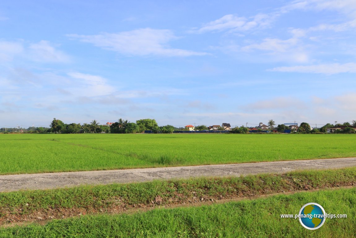
 Kubang Semang (18 July 2015)
Kubang Semang (GPS: 5.39402, 100.46439) is a Malay village in Seberang Perai. It is located to the west of Mengkuang and to the south of Berapit. The area that is Kubang Semang straddles the Butterworth-Kulim Expressway. The town of Kubang Semang is almost contiguous with the town of Penanti, with the result being the Kubang Semang and Penanti place names often overlap each other.
Location of sights in Kubang Semang
 Sights in Kubang Semang
- Makam Wan Muhd Saleh Al-Fatahi (GPS: 5.38977, 100.46301)

- Masjid Jamek Bukit Indera Muda (GPS: 5.40746, 100.45285)

- Masjid Jamek Guar Perahu (GPS: 5.43098, 100.46561)

- Masjid Jamek Padang Ibu (GPS: 5.42521, 100.46733)

- Masjid Kubang Semang Penanti (GPS: 5.40017, 100.46428)

- Rumah Tuan Guru Haji Othman (GPS: 5.40728, 100.47435)

- Seberang Perai Hokkien Cemetery (GPS: 5.40582, 100.46789)

- Suling Hill (GPS: 5.40697, 100.50936)

- Surau Kubang Semang (GPS: 5.39834, 100.46482)

Petrol Station in Kubang Semang
- Petron Kubang Semang (GPS: 5.399457, 100.464576)
- Shell Kubang Semang (GPS: 5.394502, 100.464640)
 Schools in Kubang Semang
- Sekolah Jenis Kebangsaan (Cina) Kubang Semang (GPS: 5.402186, 100.464967)
- Sekolah Kebangsaan Seri Penanti (GPS: 5.402186, 100.464967)
Villages in Kubang Semang
- Guar Perahu (GPS: 5.43026, 100.47062)

- Padang Ibu (GPS: 5.42174, 100.46624)

- Sungai Semambu (GPS: 5.39317, 100.46429)

Public Amenities in Kubang Semang
- Kubang Semang Police Station (GPS: 5.403054, 100.464655)
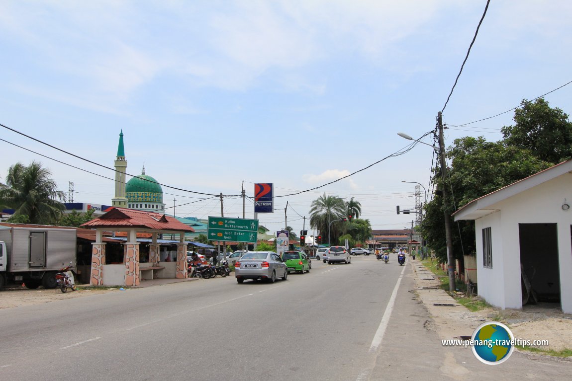
 Kubang Semang (10 December 2016)
360° View of Kubang Semang on Google Street View
View of State Route P3 at Kubang SemangAbout Kubang Semang
The name Kubang Semang comes from two words: kubang is a Malay word for a water hole, especially one filled with muddy water that buffaloes love to wallow in, and semang is the Malay name for the Rangoon Creeper Vine (Quisqualis densiflora)The only prominent landmark here is the Kubang Semang Mosque (Masjid Jamek Kubang Semang), located near the Butterworth-Kulim Expressway.
The Butterworth-Kulim Expressway splits Kubang Semang into two. The town proper is located north of the expressway while the traditional Kubang Semang village is south of the expressway.
 Kubang Semang, Seberang Perai (18 July 2015)
Getting there
Exit the Butterworth Kulim Expressway (E15) at Exit 1505 (Permatang Nibong Interchange). Then take state road P188 to Kubang Semang.Kubang Semang is  on the Map of Seberang Perai
More on Penang Mainland; List of Towns in Penang and Towns in Malaysia

Copyright © 2003-2025 Timothy Tye. All Rights Reserved.

 Go Back