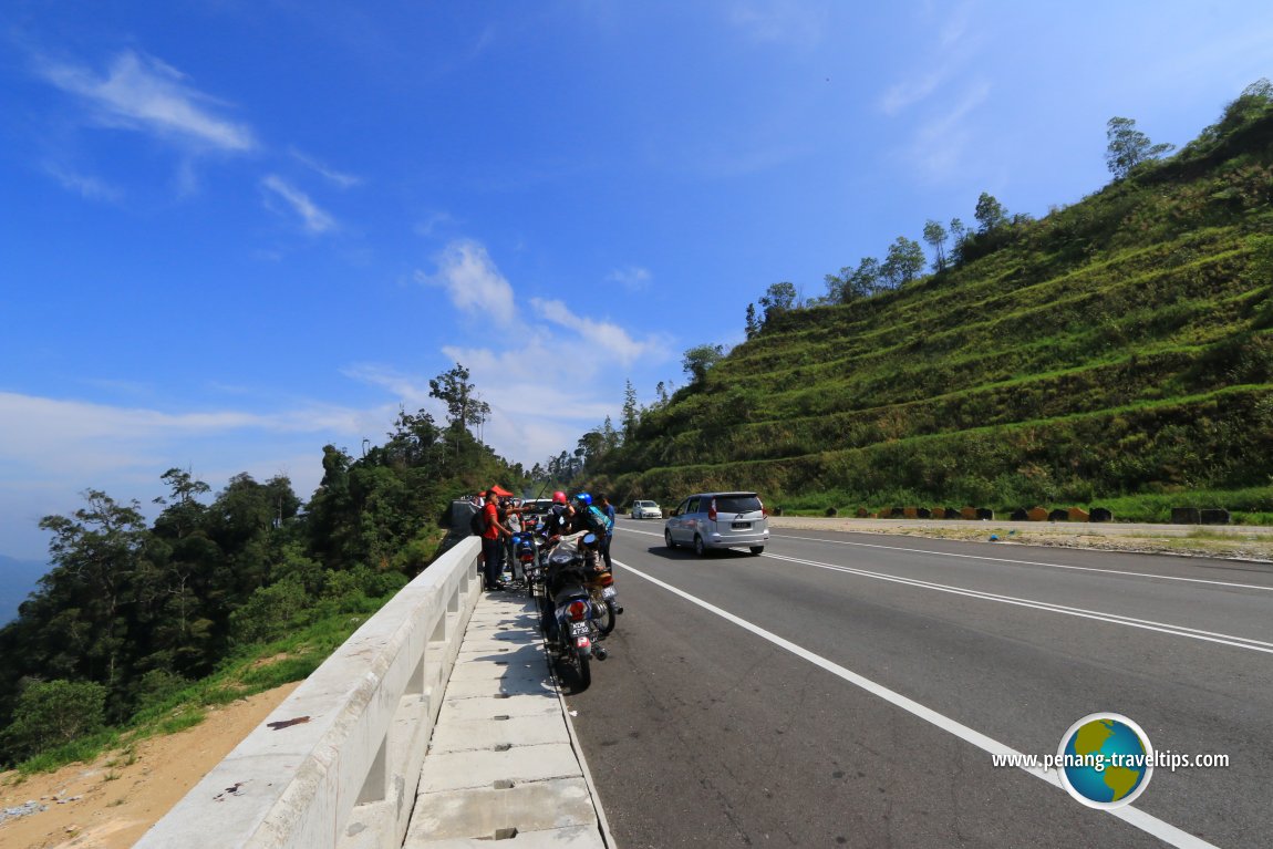
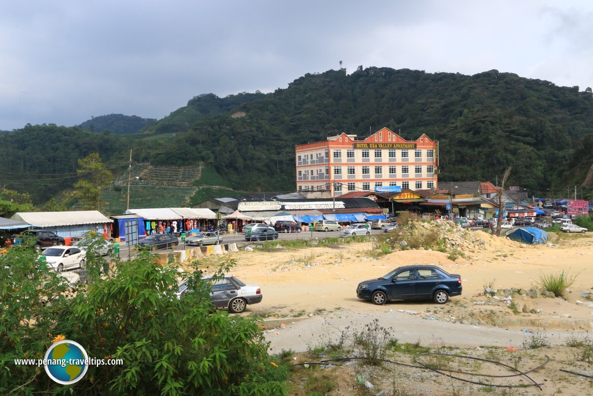
 Federal Route 59 (1 May, 2016)
Federal Route 59 is a Malaysian federal road connecting Tapah in Perak to Cameron Highlands in Pahang. It is created out of the trail that has existed since the 19th century, and was used by British surveyor William Cameron when he explored Cameron Highlands in 1885. The road was upgraded to a two-lane road by the British colonial government in the 1920s.
Federal Route 59 is known as officially as Jalan Tapah-Cameron Highlands. However, where it passes through the various towns, it is simply known as Jalan Besar or Main Road. Kilometer Zero of Federal Route 59 starts at its junction with the Old Trunk Road (Federal Route 1) in Tapah. Federal Route 59 ends at the junction with Pahang State Route C181.
Location of Federal Route 59 on the map
Towns and Settlements along Federal Route 59
Major Junctions on Federal Route 59
List of Federal Routes in Malaysia
 Latest updates on Penang Travel Tips

Copyright © 2003-2025 Timothy Tye. All Rights Reserved.

 Go Back


