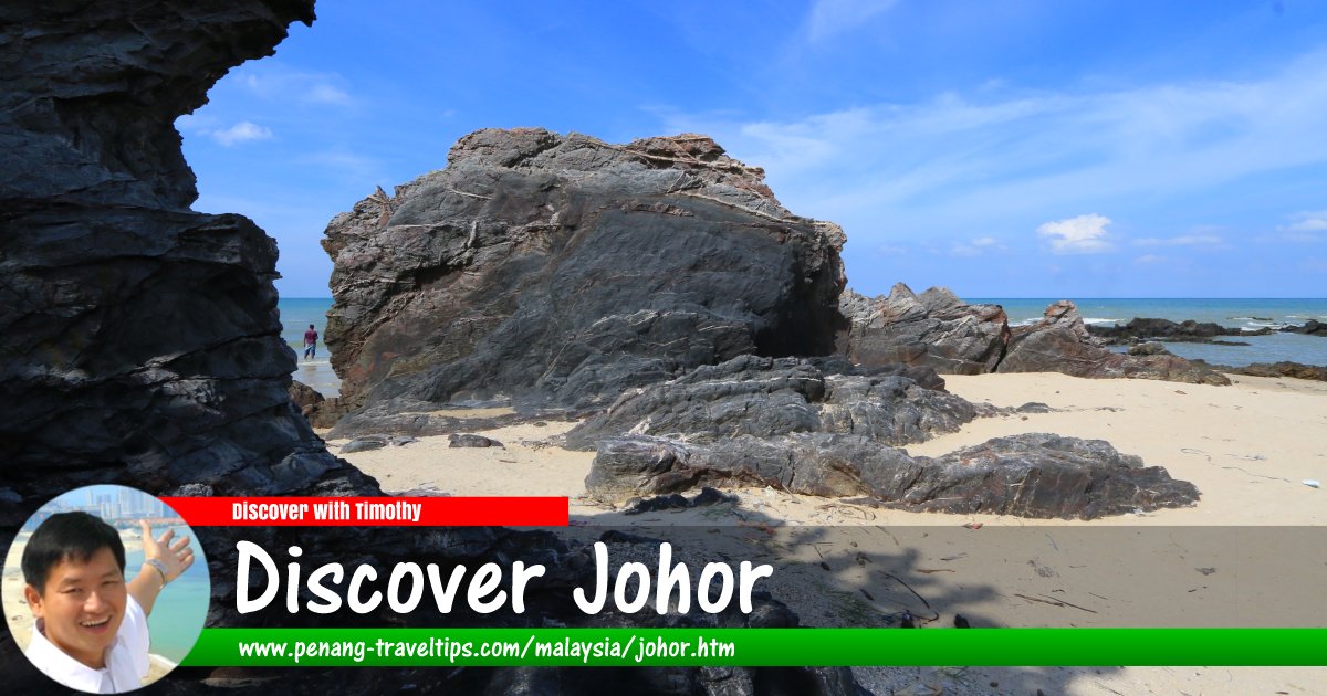
 Johor (13 September, 2016)
B. Melayu
Johor is a state in Peninsular Malaysia. It is bordered by Pahang to the north, Malacca and Negeri Sembilan to the northwest, the Straits of Malacca to the west, the Straits of Johor to the south and the South china Sea to the east. Singapore is located across the Straits of Johor. Tanjung Piai, in the district of Pontian, is the most southerly point of mainland Asia.
Johor is one of the most developed states in Malaysia. The capital city and royal seat of Johor is Johor Bahru, formerly called Tanjung Puteri. The old state capital was at Johor Lama.
The name "Johor" is said to have come from the Arabic word Jauhar, meaning 'gem' or 'precious stone' . Before the name Johor was adopted, the area south of the Muar River to Singapore island was known as Ujung Tanah or 'land's end' in Malay, due to its location at the end of the Malay Peninsula. Located between the 1°20"N and 2°35"N latitudes, Johor is the most southerly point of the Asian continental mainland.
Johor is the 5th largest Malaysian state by land area and the third most populous, with a total land area and estimated population of 19,984 sq km and 3,300,000 respectively. The population comprises 54% Malays, 35% Chinese, 7% Indians and 4% others. It is the southernmost state in Peninsular Malaysia, and is . The highest point in Johor is Gunung Ledang (1276 m). Gunung Ledang is also known as Mount Ophir. Johor also has a 400 km coastline on both the East, South and the West coasts.
Its proximity to the equator means Johor has a wet equatorial climate. It experiences monsoon rain from November until February blowing from the South China Sea. The average annual rainfall is 1778 mm. Average temperatures ranging between 25.5°C (78°F) and 27.8°C (82°F). Humidity is between 82 and 86%.
Map of Johor
List of Sights in Johor
- Batu Layar Beach (GPS: 1.44648, 104.29447)

- Desaru (GPS: 1.56947, 104.2527)

- Endau-Rompin National Park (GPS: 2.47191, 103.26634)

- Hutan Lipur Gunung Pulai (GPS: 1.5876, 103.53018)

- Hutan Lipur Panti (GPS: 2.64815, 103.75078)

- Kota Tinggi Waterfall
- Kukup Fishing Village (GPS: 1.44648, 104.29447)

- Pantai Leka (GPS: 2.64815, 103.75078)

- Pantai Penyabong (GPS: 2.64815, 103.75078)

- Pulau Danga Bayu (GPS: 2.64815, 103.75078)

- Straits of Johor
- Sungai Johor Bridge (GPS: 1.53234, 104.02137)

- Tanjung Piai (GPS: 1.44648, 104.29447)

- Tasik Sembrong (GPS: 1.97372, 103.18913)

Rivers in Johor
Lakes in Johor
Marine Parks in Johor
Map of towns in Johor
Towns in Johor
- Johor Bahru (state capital) (GPS: 1.48848, 103.75762)

- Air Papan (GPS: 2.516, 103.83351)

- Ayer Hitam (GPS: 1.91834, 103.17943)

- Bandar Penawar (GPS: 1.55335, 104.23042)

- Batu Anam (GPS: 2.57629, 102.70783)

- Batu Pahat (GPS: 1.84808, 102.93352)

- Bekok (GPS: 2.29596, 103.1305)

- Benut (GPS: 1.6495, 103.25862)

- Bukit Batu (GPS: 1.73383, 103.44357)

- Bukit Gambir (GPS: 2.21593, 102.65916)

- Bukit Kangkar (GPS: 2.17314, 102.55445)

- Chaah (GPS: 2.25079, 103.04193)

- Endau (GPS: 2.65148, 103.62343)

- Jementah (GPS: 2.4403, 102.68496)

- Johor Lama (GPS: 1.58122, 104.02009)

- Kahang (GPS: 2.26386, 103.60412)

- Kampung Mawai Baru (GPS: 1.85134, 103.97361)

- Kelapa Sawit (GPS: 1.67776, 103.52758)

- Kluang (GPS: 2.02929, 103.3168)

- Kota Kecil (GPS: 1.73775, 103.90443)

- Kota Tinggi (GPS: 1.72877, 103.89911)

- Kulai (GPS: 1.66319, 103.59891)

- Labis (GPS: 2.38178, 103.02009)

- Layang-Layang (GPS: 1.81806, 103.47363)

- Mersing (GPS: 2.42862, 103.83178)

- Muar (GPS: 2.06361, 102.57659)

- Pagoh (GPS: 2.14938, 102.77177)

- Parit Jawa (GPS: 1.95818, 102.64316)

- Parit Raja (GPS: 1.95818, 102.64316)

- Pasir Gudang (GPS: 1.47153, 103.9065)

- Pekan Nanas (GPS: 1.50795, 103.51078)

- Pengerang (GPS: 1.36552, 104.10807)

- Pontian (GPS: 1.48873, 103.38843)

- Punggai (GPS: 1.43451, 104.27832)

- Sagil (GPS: 2.30425, 102.61274)

- Segamat (GPS: 2.50957, 102.8128)

- Simpang Renggam (GPS: 1.82742, 103.30967)

- Sungai Mati (GPS: 2.14545, 102.56256)

- Sungai Rengit (GPS: 1.35003, 104.22257)

- Tangkak (GPS: 2.27353, 102.54409)

- Tanjung Agas (GPS: 2.0582, 102.55964)

- Tanjung Balau (GPS: 1.61288, 104.25905)

- Tanjung Pengelih (GPS: 1.36779, 104.10304)

- Teluk Ramunia (GPS: 1.37238, 104.24673)

- Tanjung Sedili (GPS: 1.61288, 104.25905)

- Teluk Sengat (GPS: 1.55926, 104.03117)

- Ulu Tiram (GPS: 1.59948, 103.82056)

- Yong Peng (GPS: 2.01094, 103.06443)

Highways in Johor
Categories of sights in Johor
- AEON Malls in Johor
- Beaches in Johor
- Bridges in Johor
- Cemeteries in Johor
- Chinese Temples in Johor
- Churches in Johor
- Country Clubs in Johor
- Districts of Johor
- Forest Parks in Johor
- Giant Hypermarkets in Johor
- Government Buildings in Johor
- Gurdwaras in Johor
- Highways in Johor
- Hindu Temples in Johor
- Historic Buildings in Johor
- Hospitals in Johor
- Hotels in Johor
- Islands in Johor
- Jetties in Johor
- Markets in Johor
- Mausoleums in Johor
- Mosques in Johor
- Museums in Johor
- Palaces in Johor
- Parks in Johor
- Rivers in Johor
- Schools in Johor
- Shopping Malls in Johor
- Skyscrapers in Johor
- Street Art in Johor
- Streets in Johor
- Supermarkets in Johor
- Tesco Stores in Johor
- Universities in Johor
- Waterfalls in Johor
Map of Districts of Johor
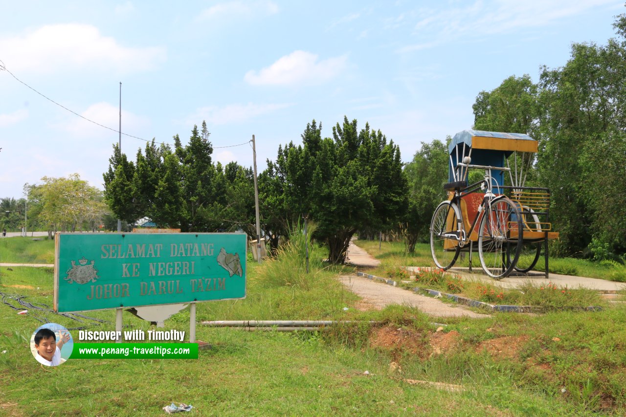
 Welcome to Johor Darul Tazim (16 September 2016)

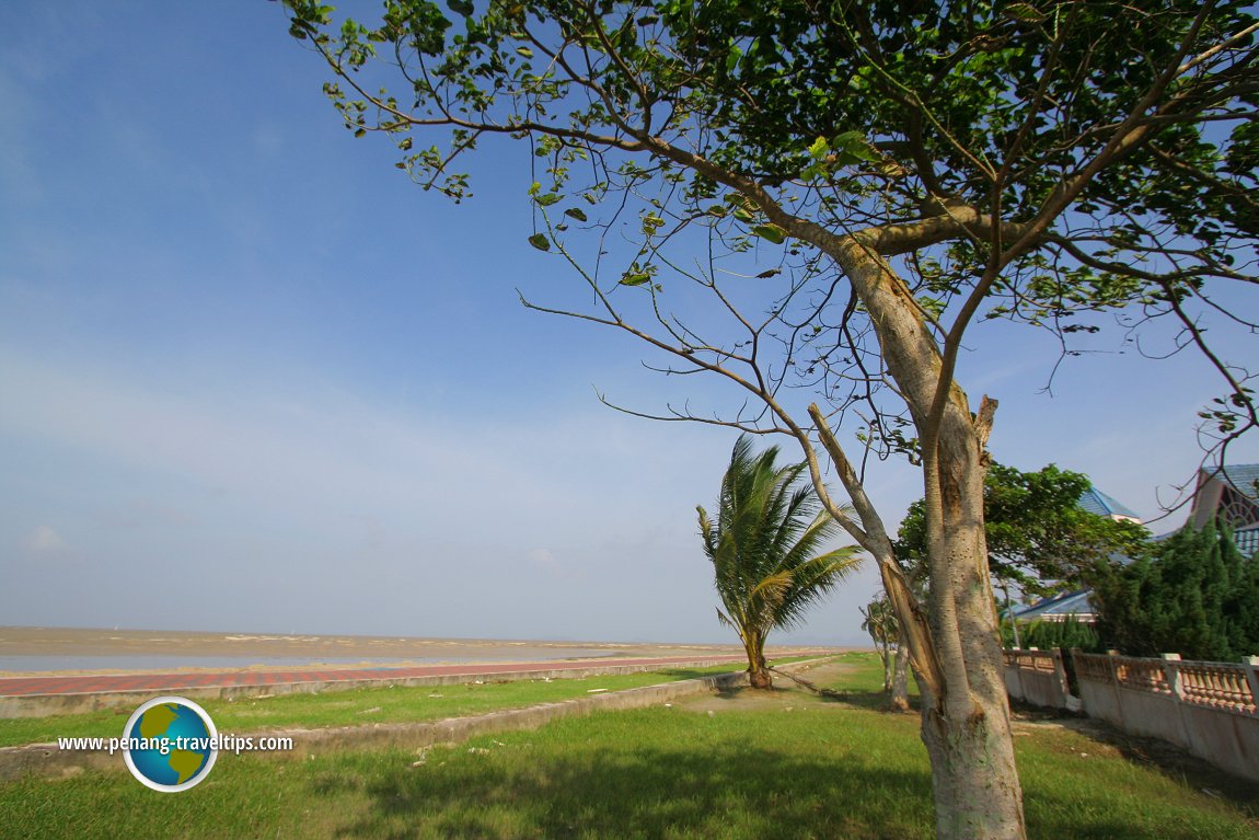
Coast of Mersing, Johor (30 December 2006)

List of States in Malaysia
 Latest updates on Penang Travel Tips

Copyright © 2003-2025 Timothy Tye. All Rights Reserved.

 Go Back