 Batu Pahat Well (12 September, 2016)
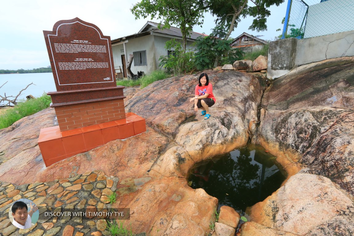
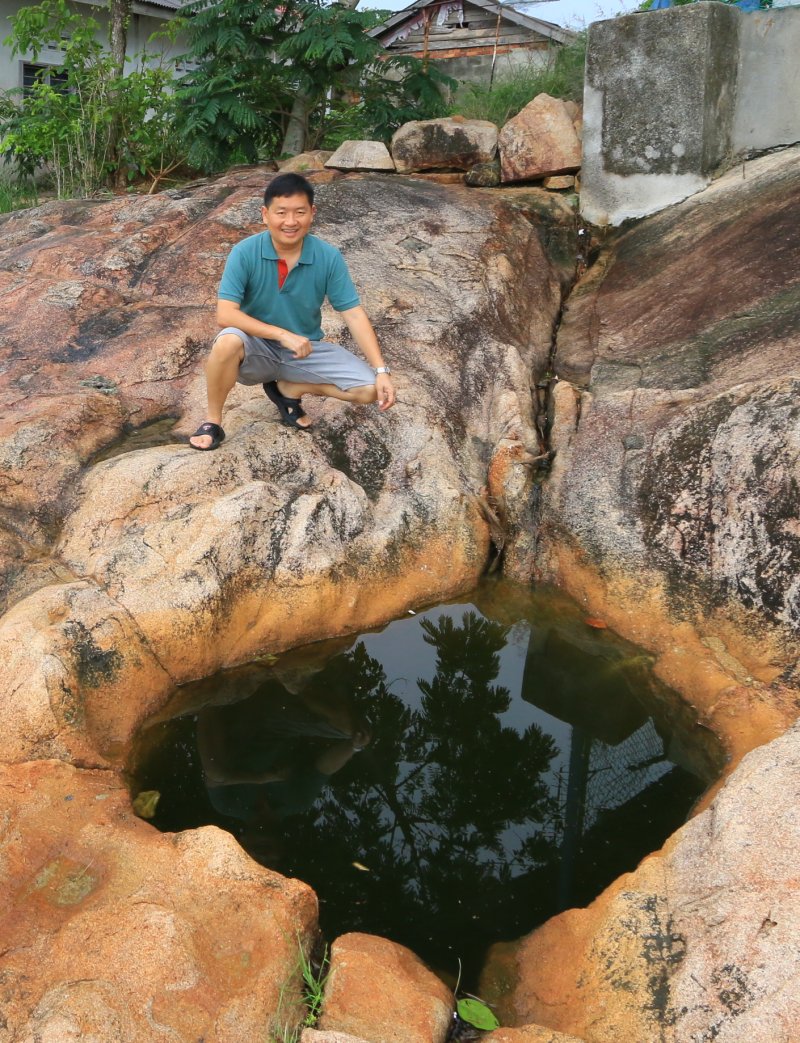
Batu Pahat Well (GPS: 1.79577, 102.88946) is an ancient well located near the seaside at Kampung Minyak Beku, in Segenting, Batu Pahat.
Looking like a hole in the ground, the well is said to have been chiselled by Siamese troops in the mid 15th century. The act of chiselling the well out of rock is said to have given Batu Pahat its name, which means chiselled rock. The Siamese were attempting to gain a foothold on this part of the Malay peninsula, but were ousted by Malacca troops under the command of Tun Perak, the Bendahara of Malacca.
 My wife with the Batu Pahat Well (12 September, 2016)
 Here I am with the Batu Pahat Well (12 September, 2016)
The seaside well said to have given Batu Pahat its name.
Getting there
The above map shows you the route to the Batu Pahat well from the North South Expressway. Leave the expressway at Exit 244. Follow signage in the direction of Batu Pahat on Route 50 (also known as Jalan Kluang). This road takes you right through Batu Pahat. At the end of the road is a roundabout (see below)
 . Do a three-o-clock turn to Jalan Rahmat.
Make a 3 o'clock turn at this roundabout. View Larger Map
Go along Jalan Rahmat until intersection with Jalan Ampuan/Jalan Zabedah. Turn left to Jalan Ampuan.
Turn left here. View Larger Map
The road continues until the end, where it makes a sharp bend to the right, to continue as Jalan Jeragan, with a branch to the left as Jalan B/H 2. Continue on Jalan Jeragan.
Here's the sharp bend at the end of Jalan Ampuan. Continue on right to Jalan Jeragan. View Larger Map
About half a kilometer down this road is the junction to Jalan Minyak Beku, the main road to Kampung Minyak Beku, on the left. Take this road.
Turn left here to Jalan Minyak Beku. View Larger Map
Go all the way down Jalan Minyak Beku and it takes you right to the seaside, with the well on the right side of the road, just beside the sea.
Batu Pahat Well is  on the Map of Batu Pahat
 Latest updates on Penang Travel Tips

Copyright © 2003-2025 Timothy Tye. All Rights Reserved.

 Go Back