 Gunung Ledang Recreational Forest
 https://commons.wikimedia.org/wiki/Category:Mount_Ophir#/media/File:MtOphir1.jpg
 Katangais
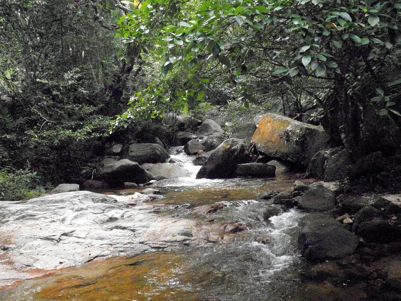
Gunung Ledang Recreational Park (GPS: 2.34349, 102.6225) is a forest park around the 1,276-meter (4,186 feet) Gunung Ledang. Gunung Ledang is the tallest peak in Johor, though it only ranks 64th tallest in the whole country.
Gunung Ledang Recreational Park is in northern Johor, right at the border with Malacca, within the Gunung Ledang Recreational Park, which was gazetted a national park on 3 October 2005 covering 8.611 hectares. The national park includes the Gunung Ledang Recreational Forest, which allows visitors to get a feel of the forest. The national park is located within the newly created Ledang District, which was separated out of Muar District in 2008.
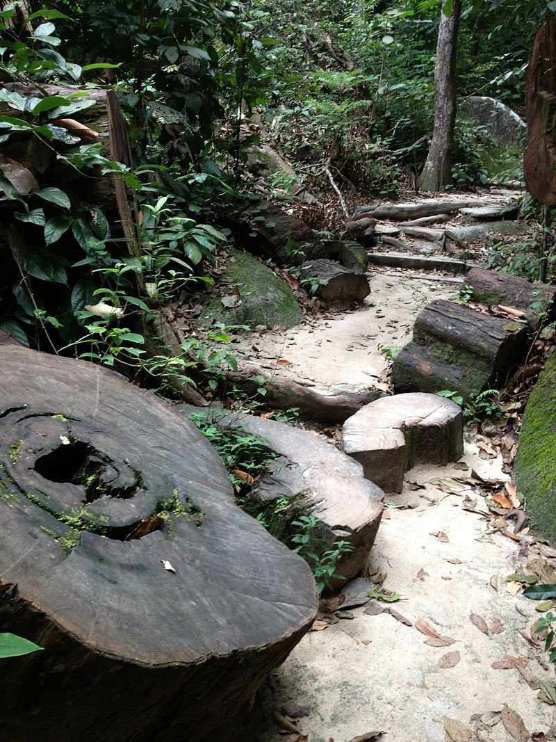
 Forest path in the Gunung Ledang Recreational Forest
 https://commons.wikimedia.org/wiki/Category:Mount_Ophir#/media/File:MtOphir10.JPG
 Katangais
360° View of Gunung Ledang Recreational Park on Google Maps Street View
Gunung Ledang Recreational ParkThe imminent naturalist Alfred Russel Wallace - founder of Sarawak Museum - was one of the first westerners to explore Gunung Ledang, which was also known as Mount Ophir. He spent a week in its jungle in 1854. There he documented the presence of tigers, rhinoceroses and elephants, along with many different species of plants, insects and birds.
Gunung Ledang is also one of the most popular among climbers. However, it is also notorious for having an exceedingly high fatality rate among climbers. The mountain is also famous for the legend of the Princess of Gunung Ledang.
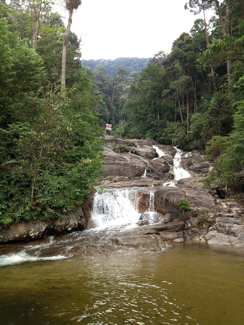
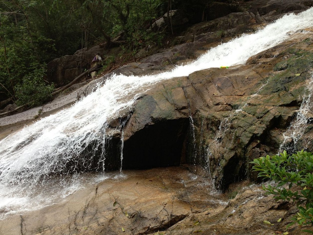
 Gunung Ledang Waterfall
 https://commons.wikimedia.org/wiki/Category:Mount_Ophir#/media/File:KatOphir.jpg
 Katangais
Getting there
Exit the North-South Expressway at the Tangkak Interchange (Exit 235). From there, take Route 23 in the direction of Tangkak towards Segamat. Look out for the signboard for Gunung Ledang on your left, about 20 km from the town of Tangkak. Gunung Ledang Waterfall
 https://commons.wikimedia.org/wiki/Category:Mount_Ophir#/media/File:KatOphir.jpg
 Katangais
Back to Discover Johor mainpage; List of Forest Parks in Johor and Forest Parks in Malaysia
 Latest updates on Penang Travel Tips

Copyright © 2003-2025 Timothy Tye. All Rights Reserved.

 Go Back