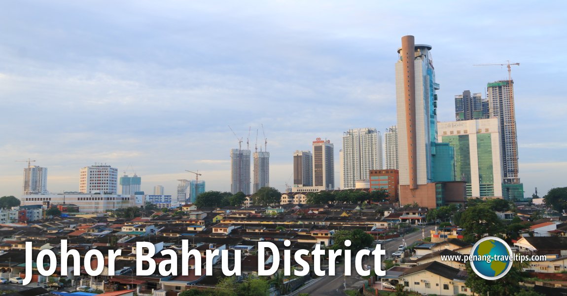
 Johor Bahru skyline, Johor Bahru District (13 September, 2016)
B. Melayu
Johor Bahru District is the district of Johor that encompasses the city of Johor Bahru. The district is bordered by Pontian district in the west, Kluang district in the north, Kota Tinggi district in the east, and the Straits of Johor in the south. The district covers an area of 1,112 square kilometers. As of 2010, it has a population of 1,334,188 people.
Map of places in Johor Bahru District
Towns in Johor Bahru District
- Johor Bahru (GPS: 1.48848, 103.75762)

- Kempas (GPS: 1.53446, 103.69308)

- Kota Iskandar/Iskandar Puteri (GPS: 1.42224, 103.64824)

- Larkin (GPS: 1.49397, 103.7426)

- Masai (GPS: 1.4974, 103.86646)

- Pasir Gudang (GPS: 1.47153, 103.9065)

- Plentong (GPS: 1.52494, 103.8195)

- Skudai (GPS: 1.53567, 103.65858)

- Tampoi (GPS: 1.50795, 103.72613)

- Ulu Tiram (GPS: 1.59948, 103.82056)

- Gelang Patah (GPS: 1.44939, 103.5907)

- Senai (GPS: 1.60139, 103.64536)

- Kangkar Pulai (GPS: 1.55918, 103.58983)

- Tanjung Kupang (GPS: 1.36391, 103.61644)

- Tanjung Pelepas (GPS: 1.36432, 103.55489)

- Danga Bay (GPS: 1.48215, 103.71821)

Back to Discover Johor mainpage; List of Districts in Johor
 Latest updates on Penang Travel Tips

Copyright © 2003-2025 Timothy Tye. All Rights Reserved.

 Go Back