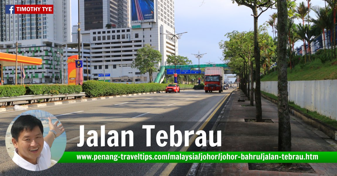
 Jalan Tebrau, Johor Bahru (14 September, 2016)
Jalan Tebrau is a highway on the northeastern part of Johor Bahru. It is also called the Johor Bahru-Kota Tinggi Highway, Tebrau Highway and Federal Route 3. This is part of the existing trunk road that has been widened to 3 lanes on each side, and the construction of interchange.
The stretch known as Jalan Tebrau starts at the intersection with Jalan Tun Abdul Razak, and ends at the intersection with the JB EDL, after which the road continues as Jalan Pandan and after that, Jalan Kota Tinggi.
Map of Jalan Tebrau, Johor Bahru
Sights along Jalan Tebrau
- City Plaza (GPS: 1.47753, 103.76302)

- Masjid Tunku Laksamana Abdul Jalil (GPS: 1.47474, 103.76485)

- Metropolis Tower & Hotel Selesa (GPS: 1.47753, 103.76302)

- The Astaka @ One Bukit Senyum (GPS: 1.47357, 103.76443)

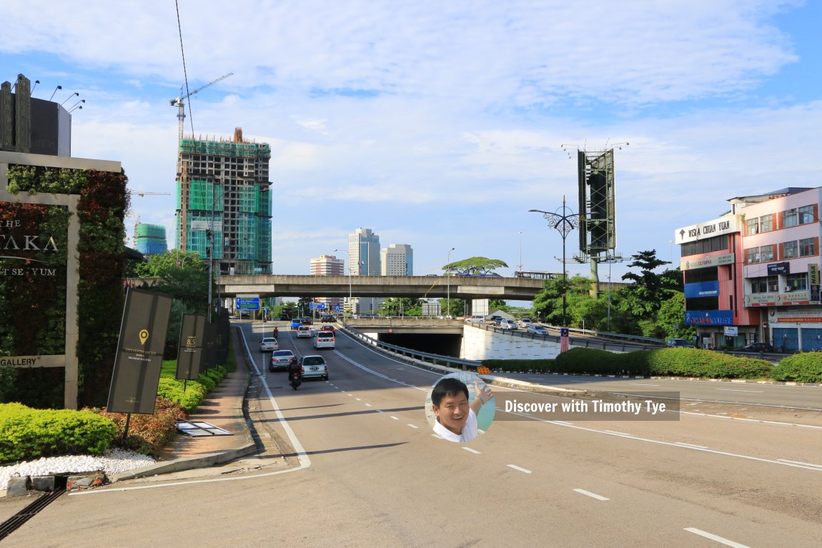
 Jalan Tebrau, at the interchange with Jalan Lingkaran Dalam. (14 September, 2016)
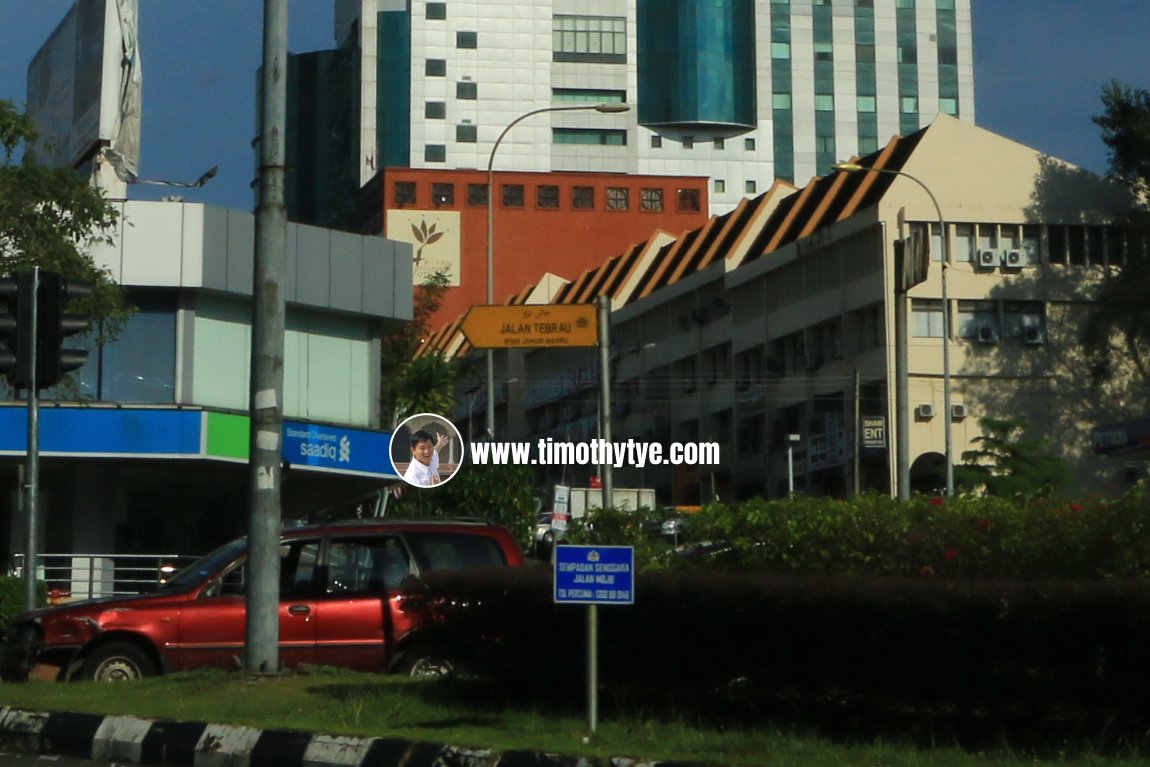
 Jalan Tebrau roadsign (14 September, 2016)
Exits and Interchanges on Jalan Tebrau
Tun Abdul Razak Interchange 
This is where Jalan Tebrau starts. Ramps connects it to Jalan Tun Abdul Razak heading east and west.
Jalan Tampoi Interchange 
This is the eastern end of Jalan Tampoi, where it connects with Jalan Tebrau.
Pandan Interchange 
This is where Jalan Tebrau continues as Jalan Pandan. Exiting here, bear north for the North South Expressway Southern Route (E2), or bear south for the Johor Bahru Eastern Dispersal Link Expressway.
Back to Discover Johor Bahru mainpage; List of Streets in Johor Bahru, Streets in Johor and Streets in Malaysia; Federal Routes in Malaysia
 Latest updates on Penang Travel Tips

Copyright © 2003-2025 Timothy Tye. All Rights Reserved.

 Go Back