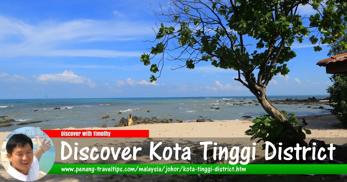
 Discover Kota Tinggi District (13 September, 2016)
Map of Kota Tinggi District
Sights and Tourist Attractions in Kota Tinggi District
- Kota Tinggi (GPS: 1.72877, 103.89911)

- Batu Layar Beach (GPS: 1.44648, 104.29447)

- Desaru (GPS: 1.54754, 104.26208)

- Jason Bay Beach (GPS: 1.89876, 104.10363)

- Jeti Awam Sedili Besar (GPS: 1.92594, 104.12119)

- Johor Lama (GPS: 1.60724, 104.03045)

- Kota Rainforest Resort (GPS: 1.80986, 103.84637)

- Kota Tinggi Waterfall (GPS: 1.82959, 103.83339)

- Legaran Tanah Putih (GPS: 1.92505, 104.0912)

- Panti Recreational Forest (GPS: 1.78746, 103.94308)

- Sedili Besar (GPS: 1.93499, 104.12373)

- Sedili Kechil (GPS: 1.84148, 104.14425)

- Sungai Rengit (GPS: 1.34999, 104.2218)

- Sungai Rengit Buddhist Temple (GPS: 1.35816, 104.23087)

- Tanjung Balau (GPS: 1.59693, 104.26094)

- Tanjung Balau Fishermen Museum (GPS: 1.6145, 104.25752)

- Tanjung Pengelih (GPS: 1.36886, 104.09322)

- Teluk Ramunia (GPS: 1.36654, 104.25263)

Introducing Kota Tinggi District
Kota Tinggi District is a district on the southeastern part of Johor. It takes its name from the town of Kota Tinggi on the banks of the Johor River. Kota Tinggi District covers an area of 3489 square kilometers, making it the biggest district in the state. it is bordered by Mersing District to the north, Kluang District to the northwest, Kulaijaya District to the west, Johor Bahru District and Singapore to the southwest, and the South China Sea to the east.Apart from Kota Tinggi, other towns and villages in this district include Kampung Mawai Baru, Kampung Sungai Selangi, Taman Kota Jaya, Bandar Penawar, Kota Kecil, Teluk Sengat and Sedili.
Back to Discover Johor; List of Districts in Johor
 Latest updates on Penang Travel Tips

Copyright © 2003-2025 Timothy Tye. All Rights Reserved.

 Go Back