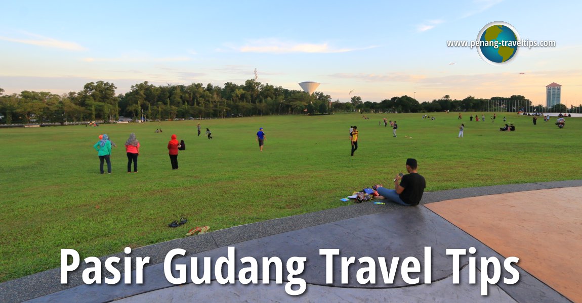
 Pasir Gudang Travel Tips (13 September, 2016)
B. Melayu
Pasir Gudang (GPS: 1.47153, 103.9065) is an industrial town 35 km to the east of Johor Bahru. It is next to Masai. The industries located here includes transportation, logistics, shipbuilding as well as heavy industries such as petrochemicals. The Sultan Iskandar Power Station and the Pasir Gudang Port are located here. Pasir Gudang is also the venue for the annual Pasir Gudang International Kite Festival.
Map of Pasir Gudang, Johor
Tourist Attractions and Places of Interest in Pasir Gudang
- Bukit Layang-Layang (GPS: 1.47753, 103.90635)

- Johor Racing Circuit (GPS: 1.4798, 103.91203)

- Masjid Jamek Pasir Gudang (GPS: 1.47549, 103.90271)

- Pasir Gudang Kite Museum (GPS: 1.47503, 103.9063)

- Pasir Gudang Lake (GPS: 1.47385, 103.90407)

- Stadium Perbadanan Pasir Gudang
- Tanjong Puteri Golf Resort
Other Sights in Pasir Gudang
The township of Pasir Gudang was originally a village called Kampung Pasir Udang. Other villages that used to be located here included Kampung Sungai Perembi, Kampung Ulu, Kampung Hilir and Kampung Tengah. All these villages are now erased and redeveloped as industrial land. The name Pasir Gudang came about because the area used to be a sand mine.
Early Chinese settlers arrived here in the mid 19th century to develop the land for agriculture. They were given Surat Sungai, or river deed, by the Temenggong and cultivated pepper, catechu and gambier. Falling prices of these commodities compelled a switch to rubber in the early 20th century. As early as 1916, Pasir Gudang was already the centre for police and customs in the area.
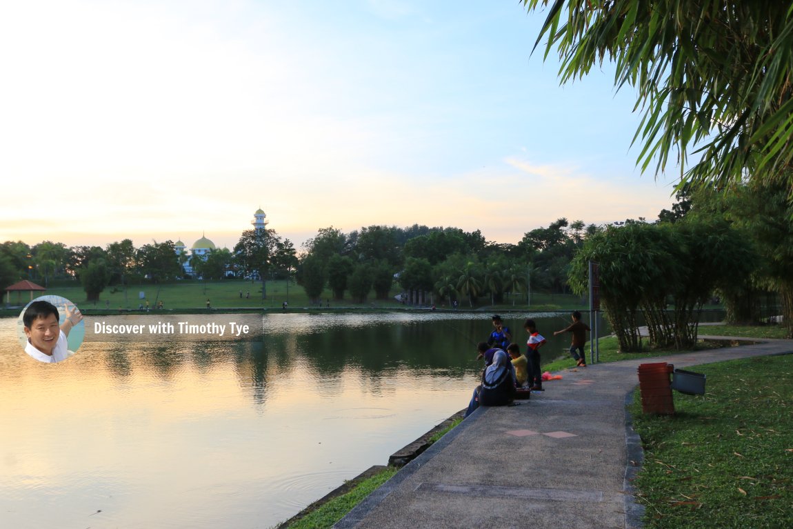
 At the lake in Bukit Layang-Layang, Pasir Gudang. In the distance is Masjid Jamek Pasir Gudang. (13 September, 2016)
360° View of Pasir Gudang on Google Maps Street View
Pasir Gudang is  on the Map of Johor
Back to Johor mainpage; List of Towns in Johor and Towns in Malaysia
 Latest updates on Penang Travel Tips

Copyright © 2003-2025 Timothy Tye. All Rights Reserved.

 Go Back