 Senai, Johor (12 September, 2016)
Senai (GPS: 1.60139, 103.64536) is a town 25 km to the northwest of Johor Bahru that is best known as home for the Senai International Airport. It is located to the north of Lima Kedai, to the northwest of Kempas, and to the south of Kulai.
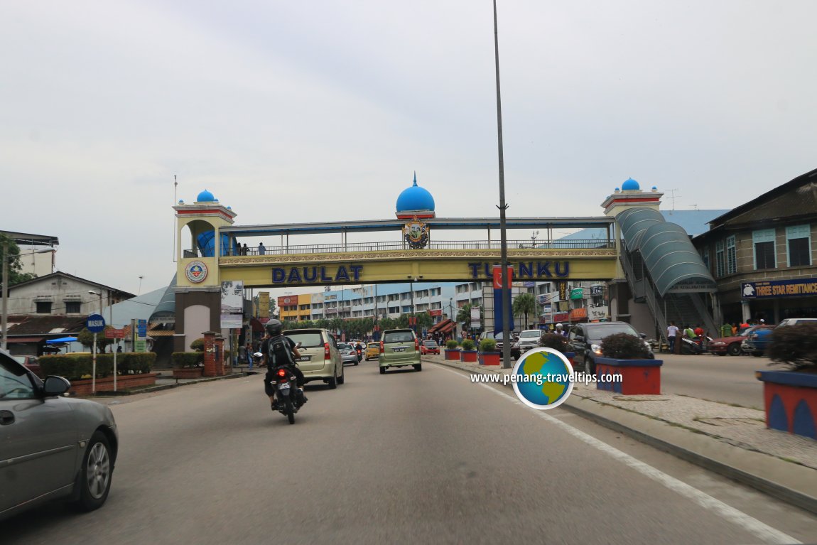
Senai is said to have been named after a local tree called pokok senai. It was a sleepy town until the construction of Senai airport brought about some development to the area. The old town centre is still around. It comprises mostly pre-war shophouses along the Old Trunk Road (Federal Route 1), which is known here as Lebuhraya Senai.
Map of Senai, Johor
Sights in Senai
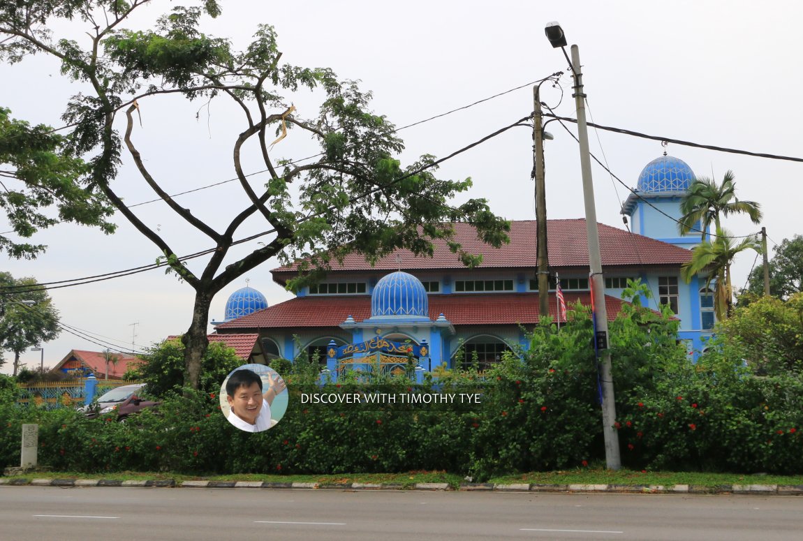
- Masjid Ar-Raudhah Saleng (GPS: 1.6357, 103.66565), Jalan Susur Saleng, 81400 Senai, Johor.

- Senai Airport Mosque (GPS: 1.6367, 103.66215)

- Senai International Airport (GPS: 1.6357, 103.66565)

 Masjid Ar-Raudhah Saleng, Senai (12 September, 2016)
 Pedestrian crossing in Senai, Johor (14 September, 2016)
Senai is  on the Map of Johor Bahru District
Back to Johor Bahru mainpage; List of Places in Johor Bahru
 Latest updates on Penang Travel Tips

Copyright © 2003-2025 Timothy Tye. All Rights Reserved.

 Go Back