 Sungai Johor, Malaysia (13 September, 2016)
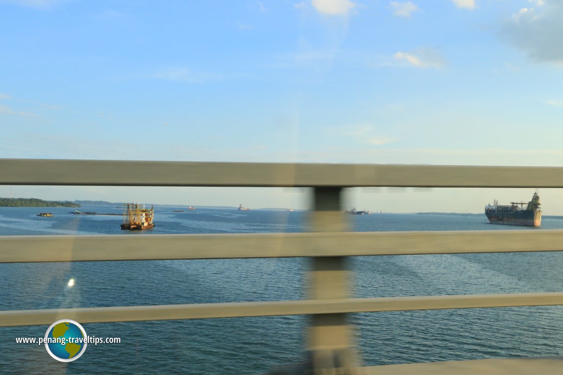
Sungai Johor is the river that gives its name to the state and sultanate of Johor. The river starts as Sungai Sayong, and becomes Sungai Johor at Kampung Rantau Panjang. The river has a length of 122.7 kilometers. It widens substantially south of Kota Tinggi before entering the Johor Strait. Sungai Johor has a number of tributaries including Sungai Lebam and Sungai Layang. Fish breeding is an activity in its estuary.
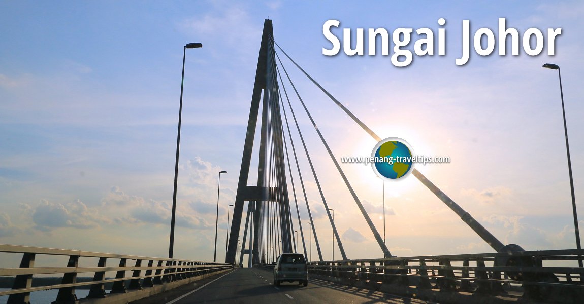
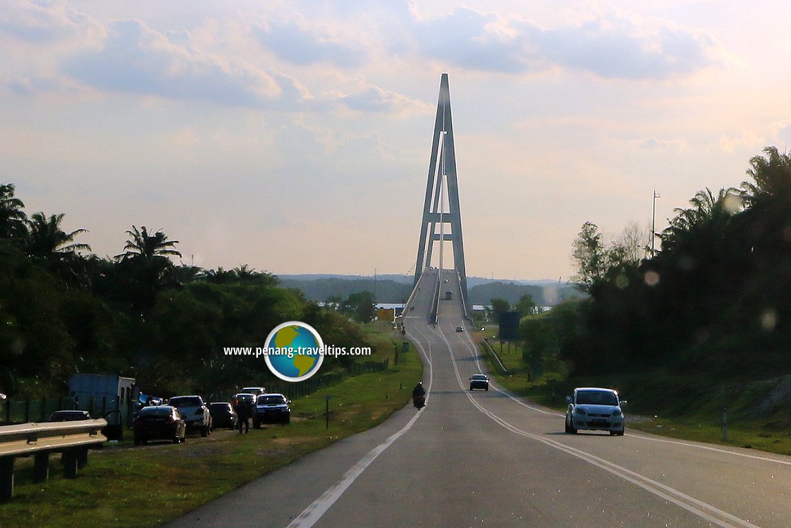
Crossing Sungai Johor is the longest river bridge in Malaysia. The Sungai Johor Bridge is a 1.7km single plane cable stayed bridge connecting Pulau Juling in the west with Tanjung Penyabong in the east. The bridges is crossed by the Senai-Desaru Expressway (E22).
Map of Sungai Johor
Sights along Sungai Johor
- Kota Tinggi Firefly Park (GPS: 1.72591, 103.91191)

 Sungai Johor as seen from Jambatan Sungai Johor. (13 September, 2016)
 Sungai Johor Bridge (13 September, 2016)
360° View of Sungai Johor on Google Maps Street View
Sungai JohorBack to Discover Johor mainpage; List of Rivers in Johor and Rivers in Malaysia
 Latest updates on Penang Travel Tips

Copyright © 2003-2025 Timothy Tye. All Rights Reserved.

 Go Back