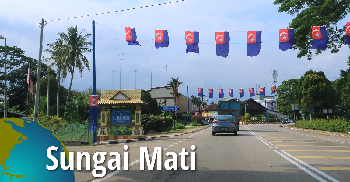
 Sungai Mati, Johor (11 September, 2016)
Sungai Mati (GPS: 2.14545, 102.56256) is a small town in northwestern Johor. Until 2008, it was part of Muar District, but has since been placed within the newly created Ledang District.
The name Sungai Mati literally means "dead river". It refers to an ox-bow lake in the area, which in Malay is called "sungai mati". This ox-bow lake was created when Muar River burst its banks during the early 20th century. When the water receded, Muar River had changed its course, leaving a circular lake cut off from the river (see Google Map below). The land surrounded by the ox-bow lake became known as Pulau Penarik.
The pekan or town centre of Sungai Mati is in a triangle bounded by Jalan Muar-Tangkak (Route 23).
To the Chinese, the place is called Li Hong Kang, meaning "prosperous port". It is a name that goes back to the time before the creation of the ox-bow lake, when the place had a thriving port. Remnants of the port and its warehouses were still around as recently as the 1970's.
Map of Sungai Mati, Johor
Sights in Sungai Mati, Johor
- Masjid Sungai Mati (GPS: 2.14543, 102.56152)

- Pulau Penarik (GPS: 2.14425, 102.56512)

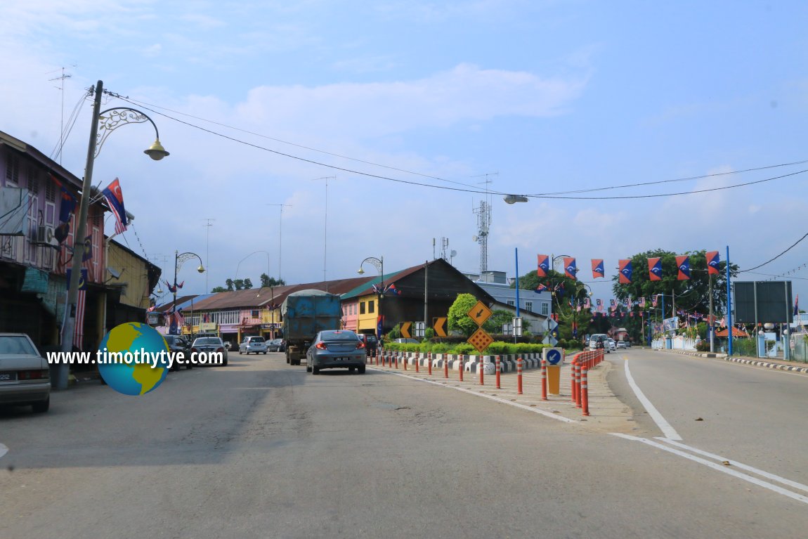 The triangular heart of Sungai Mati's pekan (11 September, 2016)
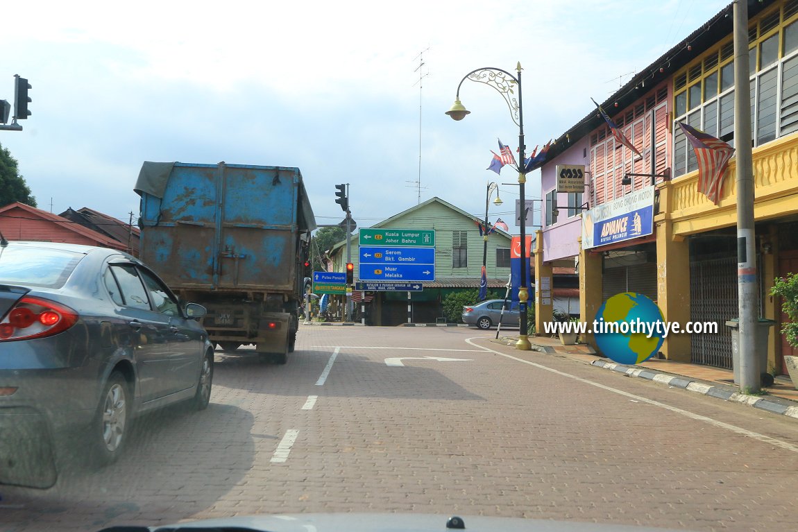 Sungai Mati, Johor (11 September, 2016)
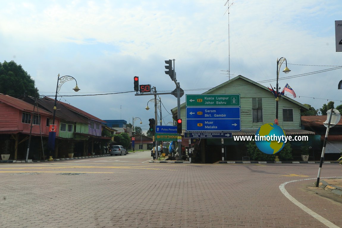 Junction to Pulau Penarik (11 September, 2016)
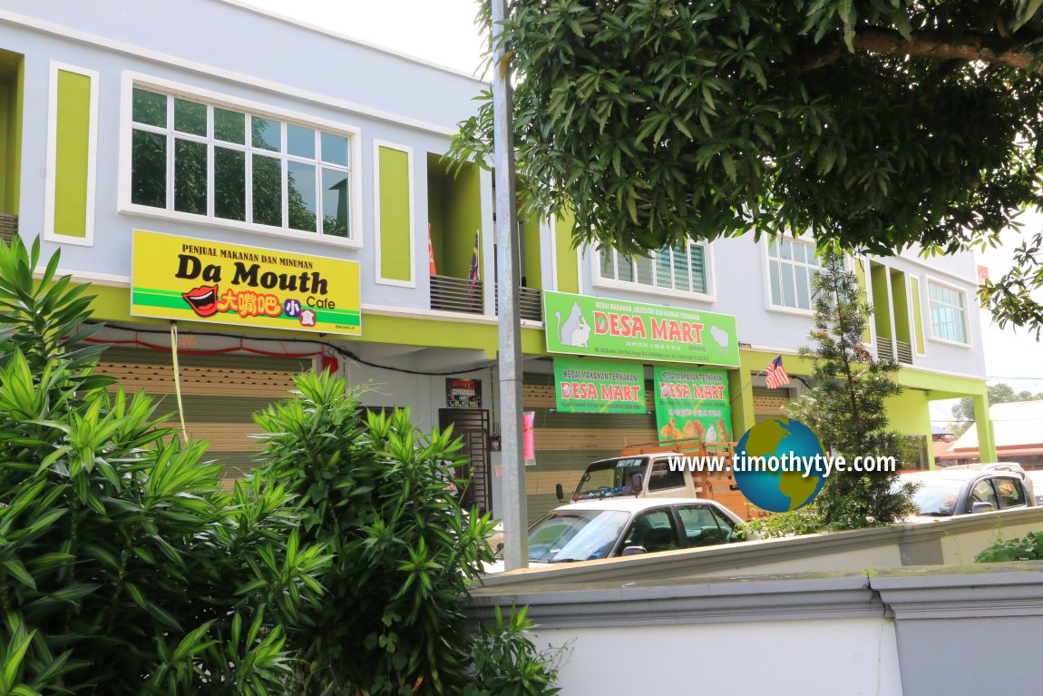 New shophouses within the triangular town centre of Sungai Mati (11 September, 2016)
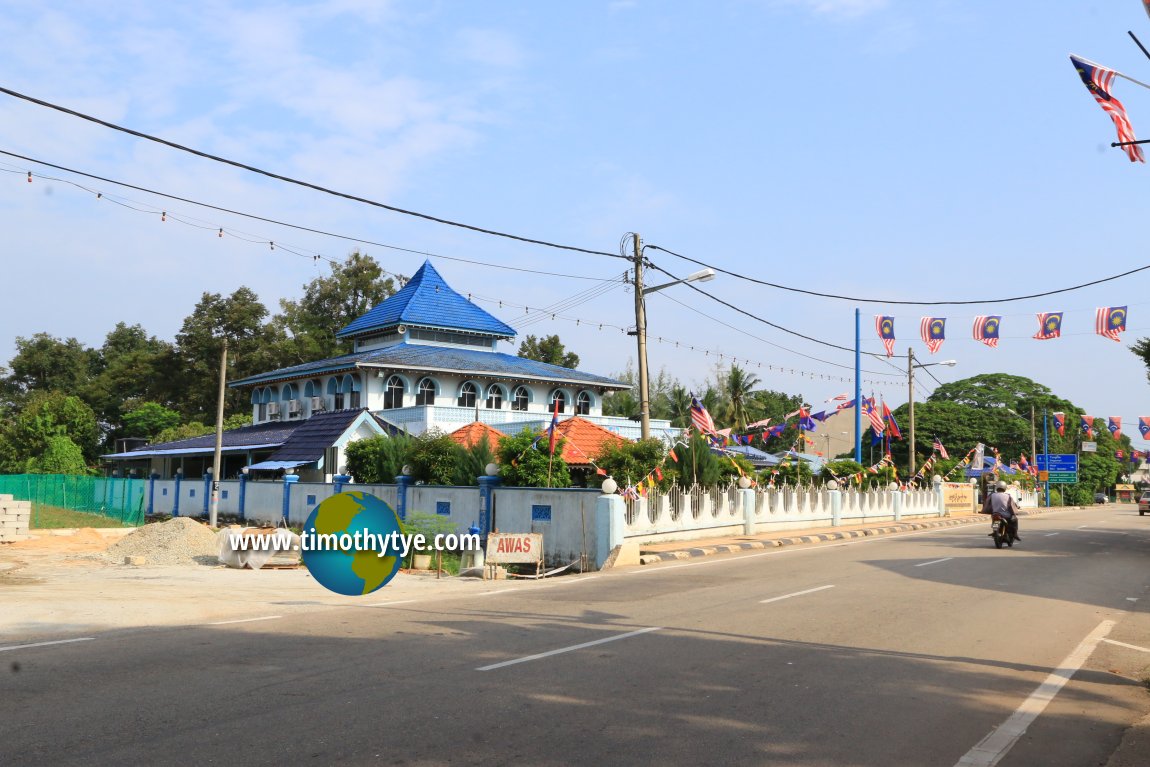 Masjid Jamek Sungai Mati (11 September, 2016)
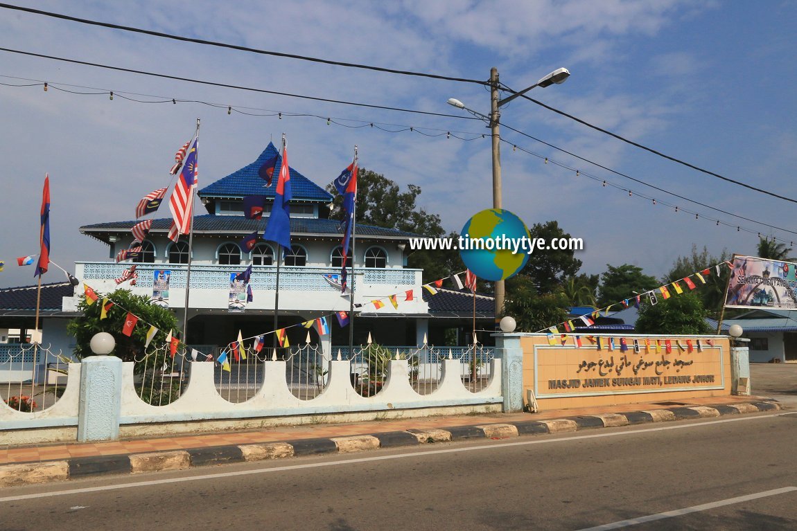 Masjid Jamek Sungai Mati (11 September, 2016)
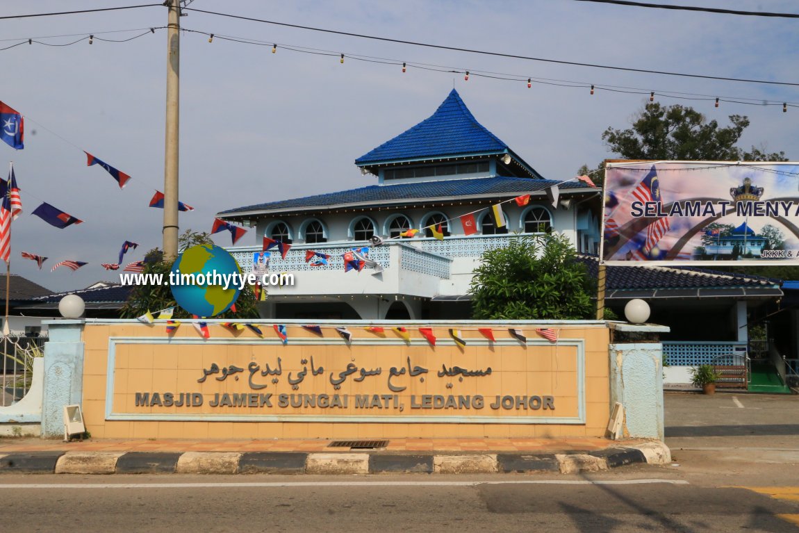 Masjid Jamek Sungai Mati (11 September, 2016)
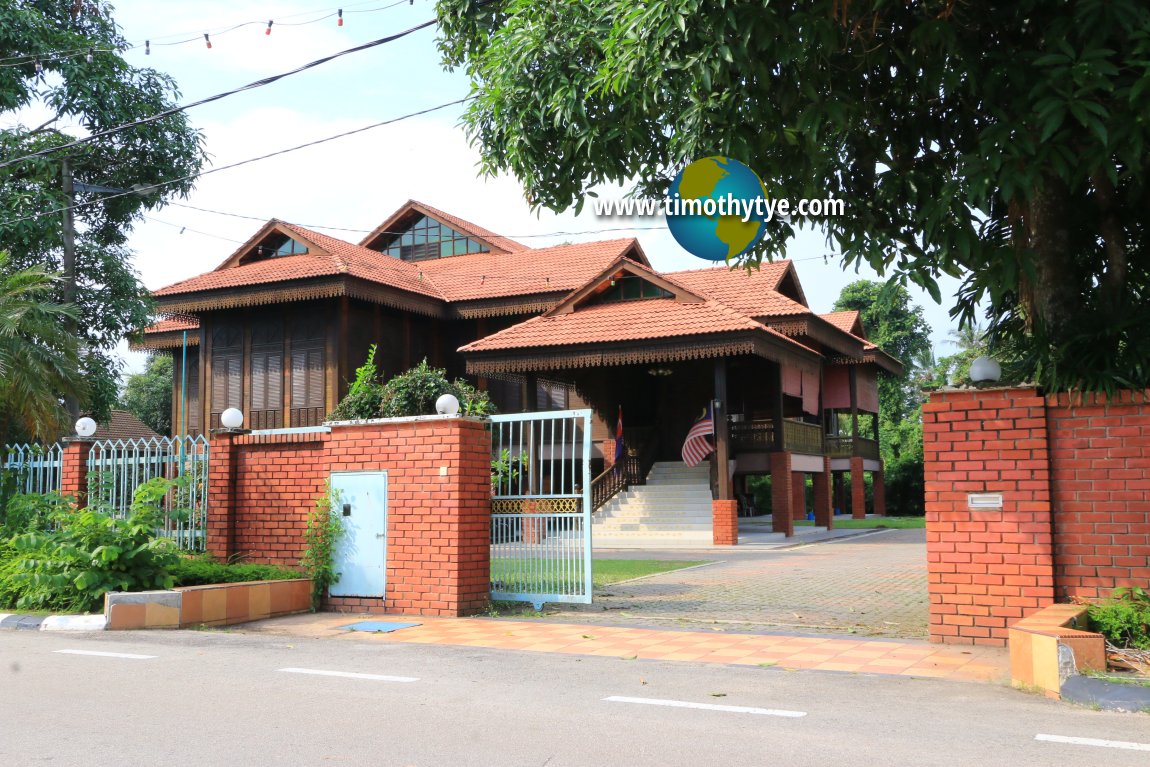 A beautiful Malay house in Sungai Mati (11 September, 2016)
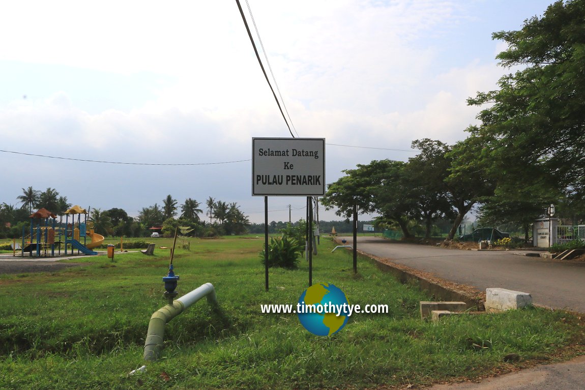 Pulau Penarik, the island created by the ox-bow lake of Sungai Mati (11 September, 2016)
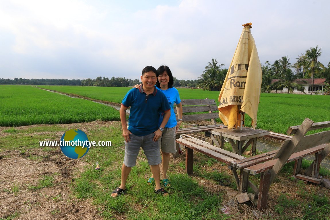 My wife and I taking a memento shot at Pulau Penarik (11 September, 2016)
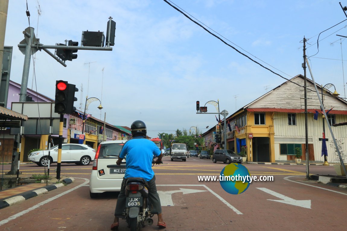 Back to Sungai Mati from Pulau Penarik (11 September, 2016)
Sungai Mati is  on the Map of Johor
Location Map of Sungai Mati and Pulau Penarik
On this satellite view, we see Sungai Mati, the ox-bow lake, and Pulau Penarik, the island that was created by the river.Back to Johor mainpage; List of Towns in Johor and Towns in Malaysia
 Latest updates on Penang Travel Tips

Copyright © 2003-2025 Timothy Tye. All Rights Reserved.

 Go Back