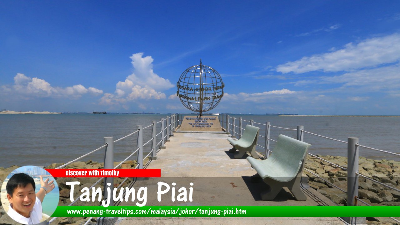
 Tanjung Piai, Johor (15 September 2016)
Tanjung Piai (GPS: 1.26587, 103.51196) is a promontory which is the southernmost part of the Asian continent. It is located in the Pontian District, some 80 km from Johor Bahru. The area is mostly wetlands. There are five rivers that flow through it. To preserve the environment, the mangrove swamps around Tanjung Piai was gazetted as the Tanjung Piai National Park.
Getting there
From Johor Bahru or Singapore, take the Skudai-Pontian Highway (Federal Route 5) to Pontian, the head south on Route 95 all the way to Tanjung Piai. If you are from the north, exit the North-South Expressway at Exit 247, Simpang Rengam Interchange. Take Route 96 to Benut, and then continue on Route 95 to Kukup and eventually to Tanjung Piai.Related Sight
If you go to Sabah, visit also Simpang Mengayau, the northernmost tip of Borneo.Tanjung Piai is  on the Map of Johor
Tanjung Piai on Google Street View
Back to Discover Johor mainpage; List of Beaches in Johor and Beaches in Malaysia
 Latest updates on Penang Travel Tips

Copyright © 2003-2025 Timothy Tye. All Rights Reserved.

 Go Back