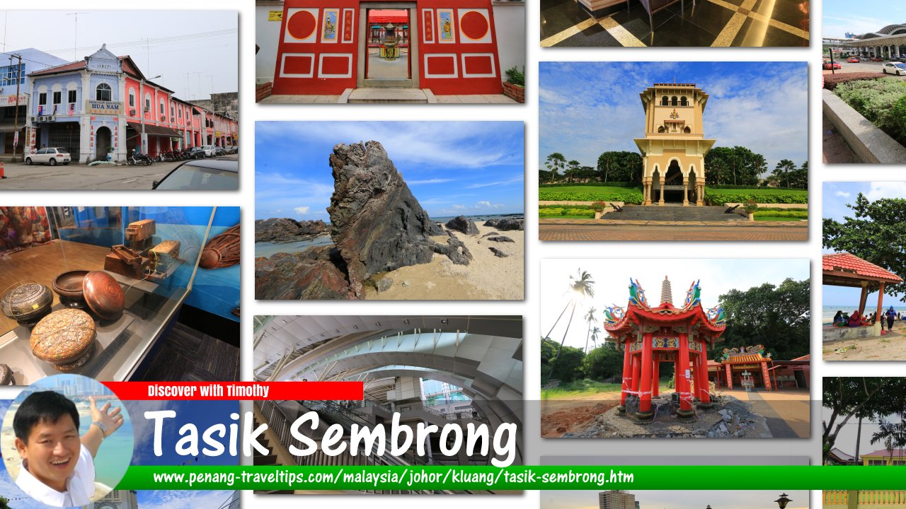
 Tasik Sembrong, Johor
Tasik Sembrong (GPS: 1.97372, 103.18913) is a lake near Ayer Hitam, Johor. It is located in a natural basin, about 8 meters above sea level, and is fed by a number of rivers including Sungai Sembrong.
In 1984, Sembrong Dam was built here for the purpose of controlling flood and also for water supply. According to the last update of the website of the Department of Irrigation and Drainage (15 January, 2015), 2Mld of water is abstracted for domestic use.
Updates
17 March, 2015: The Star reports that Sembrong Dam is threatened by a deadly bloom of algae. According to the report, the dam supplies water to some 120,000 people living in Kluang and Batu Pahat.Tasik Sembrong on Google Street View
(Nov 2013)How to reach Tasik Sembrong
Exit the North-South Expressway Southern Route at Exit 244 (Air Hitam Interchange), then continue on Route 50 in the direction of Kluang until you reach the junction for Jalan Tasik Sembrong on your left (at GPS: 1.95852, 103.20905). Follow the road until it takes you to the lake.Tasik Sembrong is  on the Map of Ayer Hitam, Johor
Tasik Sembrong is  on the Map of Johor
Back to Ayer Hitam, Johor
 Latest updates on Penang Travel Tips

Copyright © 2003-2025 Timothy Tye. All Rights Reserved.

 Go Back