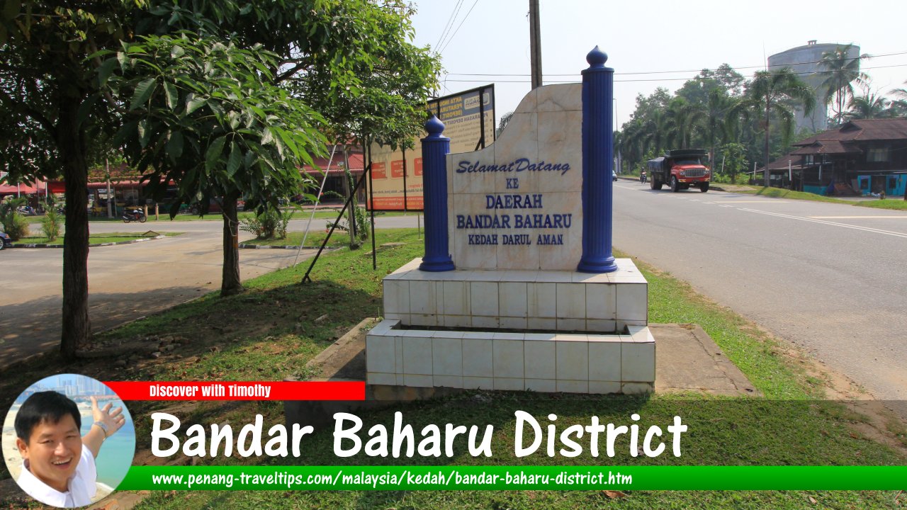
 Daerah Bandar Baharu sign (29 August, 2015)
Bandar Baharu District is the southernmost district of the state of Kedah, Malaysia. It is wedged between Penang to the west and Perak to the south. To the north of the district is Kulim District. The district has an area of only 269 sq km (or according to some accounts, 27,126.12 hectares). The district comprises seven subdistrict, called mukim, namely the Mukim of Serdang, Kuala Selama, Sungai Batu, Bagan Samak, Permatang Pasir, Sungai Kecil Ilir and Relau. These are all towns in their own right. The seat of the district is at the eponymous Bandar Baharu.
The North-South Expressway passes through Bandar Baharu District between Penang and Perak. The administrative capital is Bandar Baharu. Other major towns include Serdang and Sungai Punti
According to oral tradition, the Bandar Baharu district was formerly known as Pengkalan Haji Ali.1 It is believed that a river port was established by Haji Ali, a villager from Kampung Permatang Pasir, as the place he would row his sampan on Sungai Kerian.
Map of Bandar Baharu District, Kedah
References
1. Sejarah asal usul daerah Bandar Baharu, Kedah.Back to Discover Kedah
 Latest updates on Penang Travel Tips

Copyright © 2003-2025 Timothy Tye. All Rights Reserved.

 Go Back