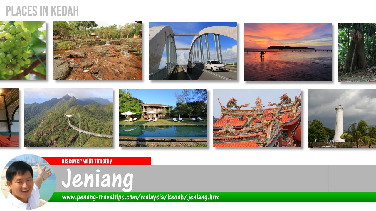
 Jeniang, Kedah
Jeniang (GPS: 5.8148, 100.62583) is a small rural town in Kedah. It is one of the villages and towns along the banks of Sungai Muda. It is administered as part of Gurun. Jeniang is located in Kuala Muda District, near the border with Sik District and Pendang District.
Map of Jeniang, Kedah
Sights in Jeniang
- Jambatan Jeniang (GPS: 5.81383, 100.63252)

- Jeniang Post Office (GPS: 5.81354, 100.62899)

- Masjid Safwan (GPS: 5.81346, 100.62945)

- Sekolah Jenis Kebangsaan (Cina) Jeniang (GPS: 5.81628, 100.62636)

- Sekolah Kebangsaan Jeniang (GPS: 5.81332, 100.62773)

Getting there
Exit the North-South Expressway at the Gurun Interchange (Exit 173). Exiting the expressway, turn right (east) on State Route K10 and continue until Jeniang.Jeniang is  on the Map of Kedah
Jeniang on Google Street View
Jeniang, Kedah (Feb 2021)Back to Kedah; list of Towns in Kedah and Towns in Malaysia
 Latest updates on Penang Travel Tips

Copyright © 2003-2025 Timothy Tye. All Rights Reserved.

 Go Back