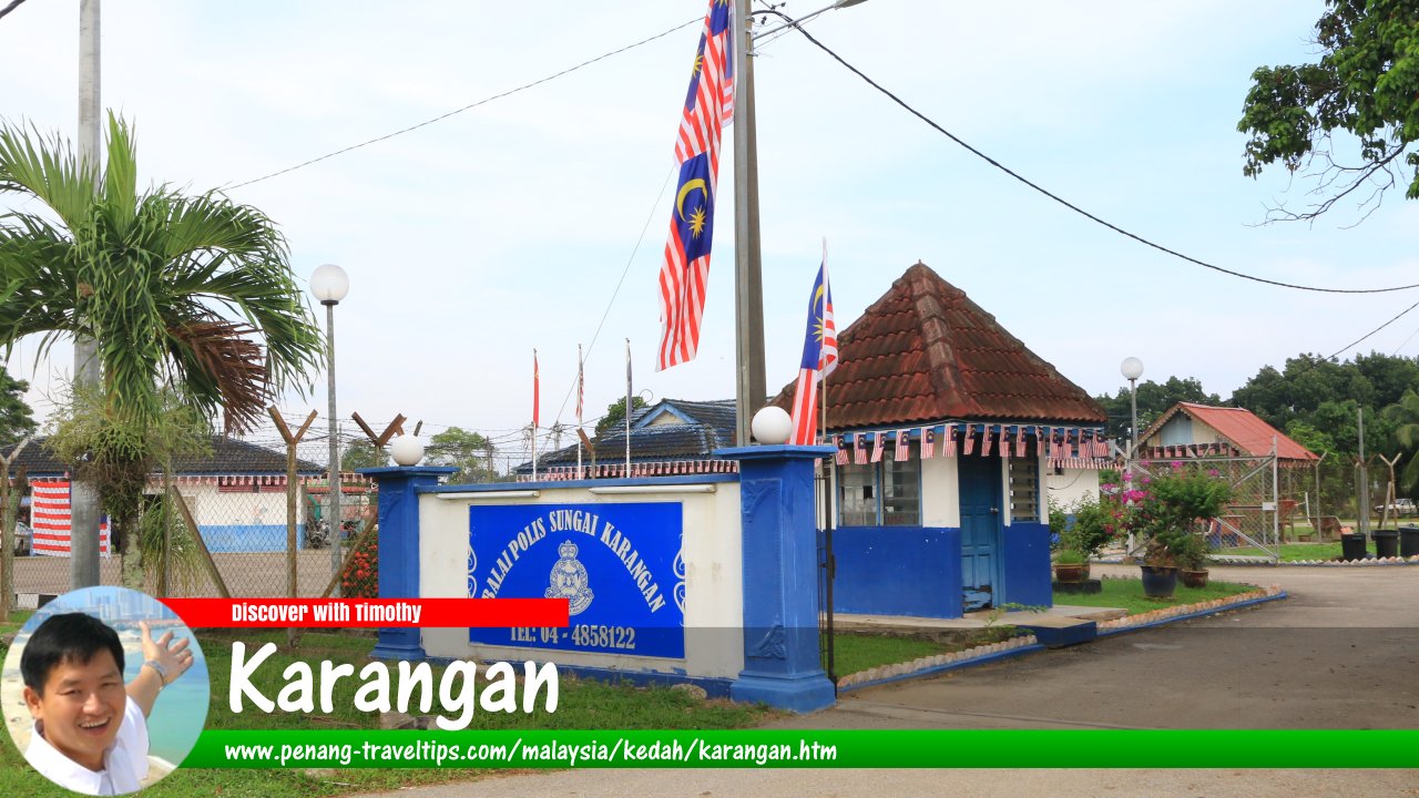
 Karangan, Kedah (31 August, 2016)
Karangan (GPS: 5.51808, 100.61408) is a small town in southern Kedah. Due to its proximity to Kulim, it is often grouped as a town within Kulim.
Map of Karangan, Kedah
Sights in Karangan
- Guan Yin Temple (GPS: 5.42155, 100.66574)

- Kemunting Lake View Restaurant (GPS: 5.40471, 100.66877)

- Paccayadhamma Forest Monastery (GPS: 5.40411, 100.67161)

- Pejabat Pos Karangan (GPS: 5.42046, 100.6671)

- Sree Nagamuthu Mariamman Sree Jada Muneeswarar Temple (GPS: 5.42093, 100.6709)

Sights in the vicinity of Karangan
- Sungai Sedim Recreational Forest
- Ulu Paip Recreational Forest (GPS: 5.39359, 100.66668)

How to go to Karangan
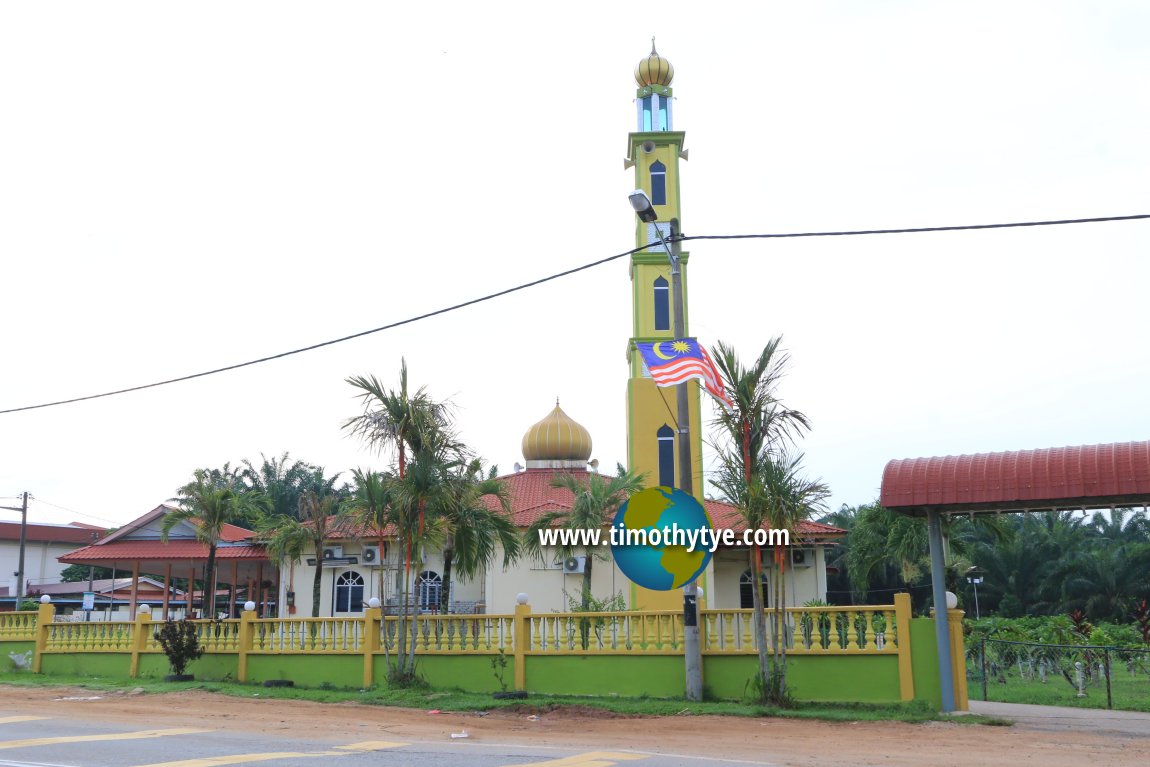
If coming from the North-South Expressway, take Exit 163 (Seberang Jaya Interchange), then head east on the Butterworth Kulim Expressway (E15). At the end of the expressway, the road continues as Federal Route 4 in the direction of Baling. The intersection to Karangan is the one pointing to Titi Karangan (see street view below). Turn left at this intersection and continue on State Route K185 until you reach Karangan. Masjid Nurul Ehsan, Karangan (31 August, 2016)
Karangan on Google Street View
Karangan, Kedah (Mar 2015)Karangan is  on the Map of Kedah
Back to Kedah mainpage; list of Towns in Kedah and Towns in Malaysia
 Latest updates on Penang Travel Tips

Copyright © 2003-2025 Timothy Tye. All Rights Reserved.

 Go Back