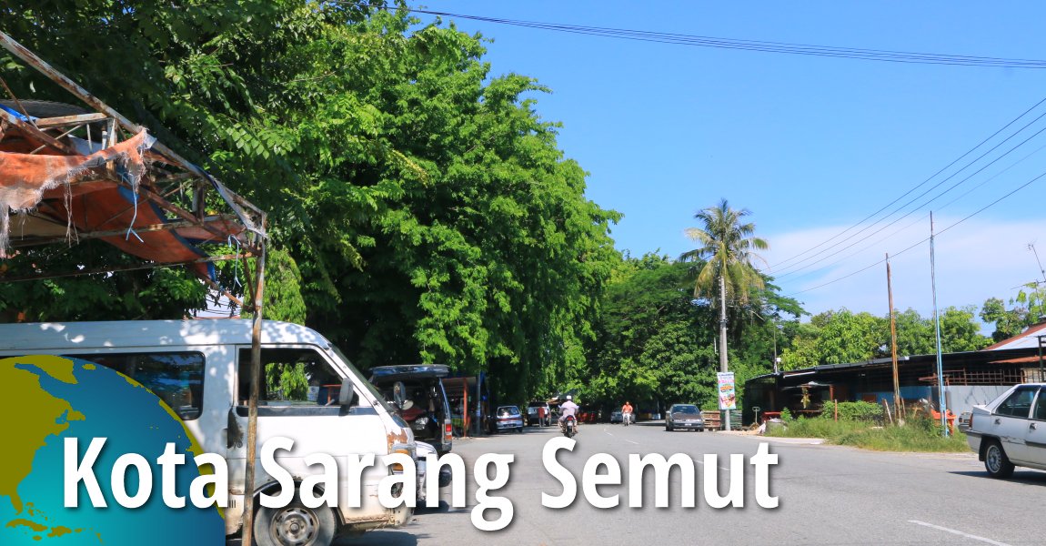
 Kota Sarang Semut, Kedah (24 April, 2017)
Kota Sarang Semut (GPS: 5.97872, 100.3977) is a small town in Kedah. It is located in the Kota Setar District, near the border with Pendang District. The name of the town Kota Sarang Semut means Town of Ant Hills, attributing a local legend of ant hills in the area. The historical Wan Mat Saman Canal, the longest irrigation canal in the country, passes through the town.
Kota Sarang Semut includes the surrounding villages. Sungai Sala, which forms the district border of Kota Setar District, runs westward to the sea, just south of town, with its estuary at Kuala Sala.
Map of Kota Sarang Semut, Kedah
Sights in Kota Sarang Semut
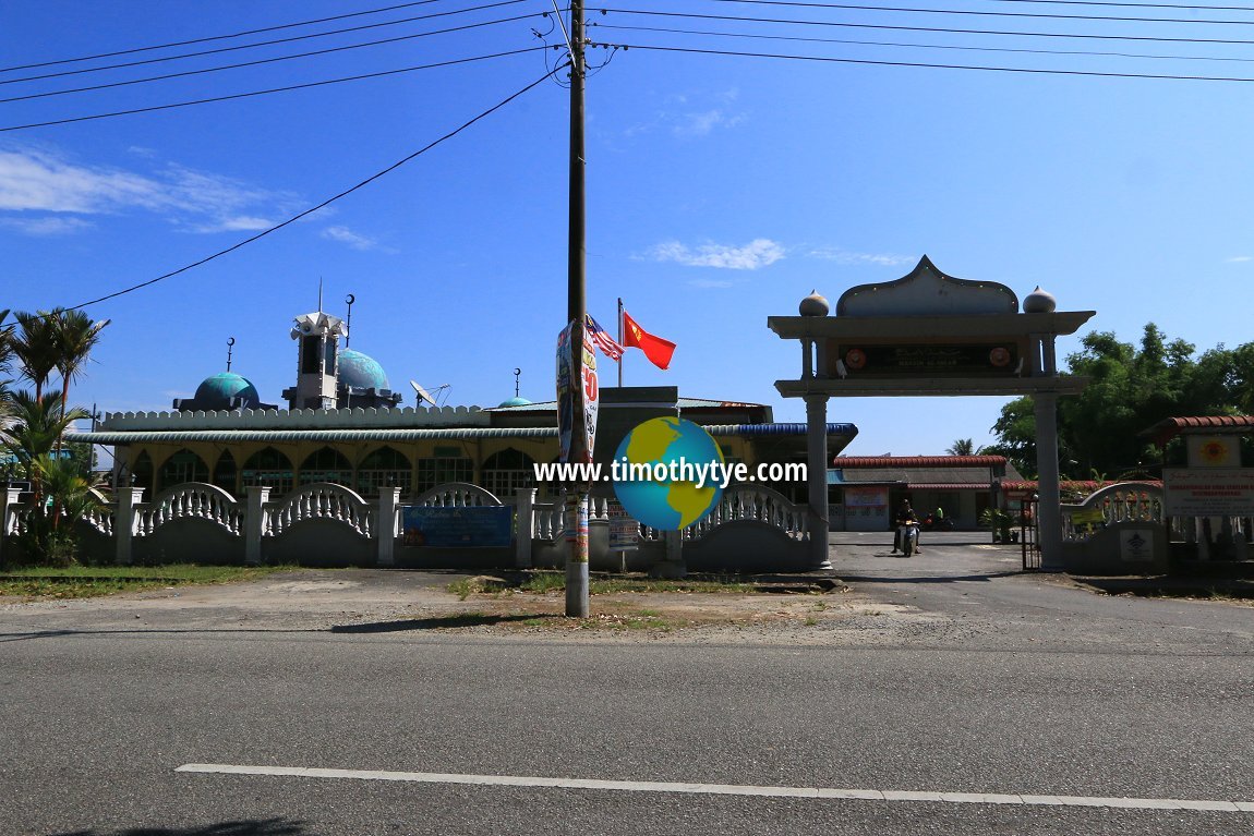
- Masjid Al-Islah (GPS: 5.97526, 100.39794)

- Masjid Kuala Sala (GPS: 5.97451, 100.35221)

- Masjid Permatang Bongor (GPS: 5.98031, 100.35813)

- Pantai Jemerlang (GPS: 5.97228, 100.34985)

Categories of sights in Kota Sarang Semut
Petrol Stations in Kota Sarang Semut
- Petronas Kota Sarang Semut (GPS: 5.980447, 100.398082)
- Shell Kota Sarang Semut (GPS: 5.977729, 100.398710)
Banks in Kota Sarang Semut
- Bank Simpanan Nasional (GPS: 5.975169, 100.399862)
Amenities in Kota Sarang Semut
- Balai Polis Kota Sarang Semut (GPS: 5.976244, 100.399235)
- Klinik Kesihatan Kota Sarang Semut (GPS: 5.974409, 100.403014)
- Pejabat Pos Kota Sarang Semut (GPS: 5.976779, 100.398632)
Schools in Kota Sarang Semut
- Sekolah Kebangsaan Kampung Jawa (GPS: 5.978950, 100.375278)
- Sekolah Menengah Kebangsaan Muadzam Shah (GPS: 5.975927, 100.394360)
- SJK (C) Min Sin (GPS: 5.973865, 100.402294)
 Masjid Al-Islah, Kota Sarang Semut (24 April, 2017)
Getting there
To reach Kota Sarang Semut, exit the North-South Expressway at the new Pendang Interchange, Exit 175.Kota Sarang Semut is  on the Map of Kedah
Back to Kedah mainpage; list of Towns in Kedah and Towns in Malaysia
 Latest updates on Penang Travel Tips

Copyright © 2003-2025 Timothy Tye. All Rights Reserved.

 Go Back