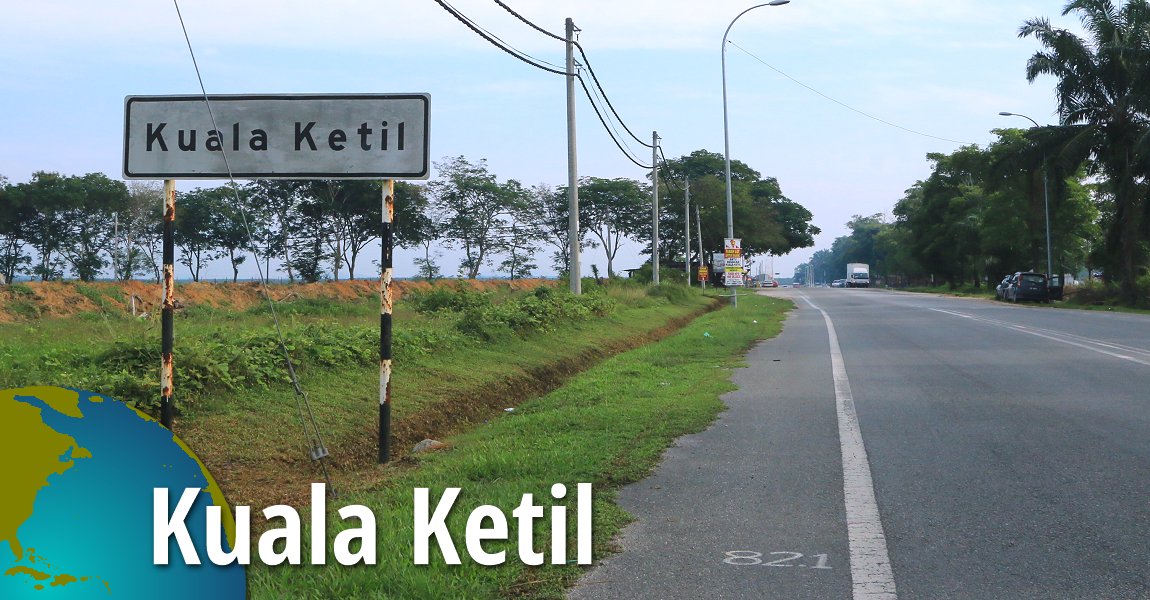
 Kuala Ketil, Kedah (31 August, 2016)
Kuala Ketil (GPS: 5.60539, 100.64712) is a town located in the Baling district of Kedah, a state in northwestern Malaysia. Situated at the confluence of Sungai Ketil with Sungai Muda, the town serves as a minor commercial and administrative center for the surrounding rural areas. It is just across Sungai Muda from Kuala Muda District.
Kuala Ketil is approximately 30 kilometers southeast of Sungai Petani, the largest city in Kedah. The main road that passes through Kuala Ketil is Federal Route 67, which connects it to other towns in the region, including Baling to the south and Sungai Petani to the northwest.
Kuala Ketil's economy is primarily based on agriculture, with rubber and oil palm plantations being significant contributors. The town also acts as a local trading hub for agricultural products from nearby villages and smallholdings. In recent years, there has been some development in small-scale industries and services to support the local population.
The town features basic amenities such as schools, clinics, and local government offices. It has a mix of traditional Malay houses and more modern structures, reflecting its gradual development over the years. The Ketil River, which gives the town part of its name, plays a role in the local ecosystem and has historically been important for transportation and agriculture in the area.
While Kuala Ketil is not a major tourist destination, it offers a glimpse into the everyday life of a small Malaysian town and serves as a gateway to some of the natural attractions in the wider Baling district, including nearby forest reserves and limestone hills.
Map of Kuala Ketil
Sights in Kuala Ketil
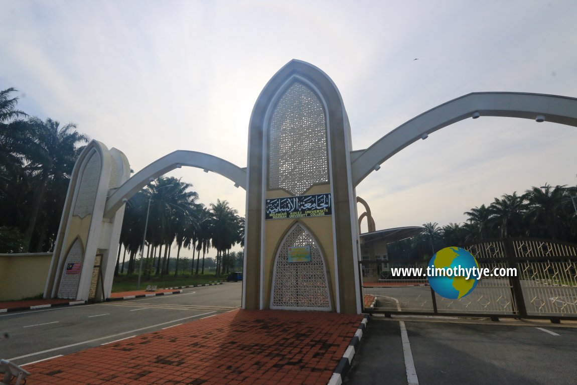
- Insaniah University College (GPS: 5.57913, 100.63767)

- Kuala Ketil Police Station (GPS: 5.60524, 100.65214)

- Kuala Ketil Post Office (GPS: 5.6064, 100.64916)

- NGV Petronas Kuala Ketil (GPS: 5.60673, 100.64561)

- Public Bank Kuala Ketil (GPS: 5.58566, 100.6356)

- Sekolah Jenis Kebangsaan (Cina) Kuala Ketil (GPS: 5.60631, 100.64786)

- Sekolah Menengah Kebangsaan Kuala Ketil (GPS: 5.58566, 100.6356)

- Shell Kuala Ketil (GPS: 5.60674, 100.6463)

Getting there
Exit the North-South Expressway at either the Sungai Petani North (Exit 170) or Sungai Petani South (Exit 168) interchanges, then head towards Sungai Petani town where you will turn east at the junction with Route 67 and go all the way until you reach Kuala Ketil. Insaniah University College, Kuala Ketil, Kedah (31 August, 2016)
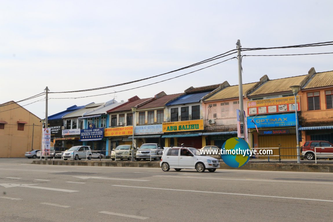
 Shophouses in Kuala Ketil. (31 August, 2016)
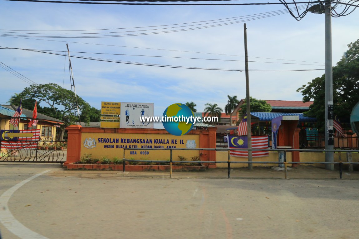
 Sekolah Kebangsaan Kuala Ketil (31 August, 2016)
Kuala Ketil is  on the Map of Kedah
Back to Kedah mainpage; list of Towns in Kedah and Towns in Malaysia
 Latest updates on Penang Travel Tips

Copyright © 2003-2025 Timothy Tye. All Rights Reserved.

 Go Back