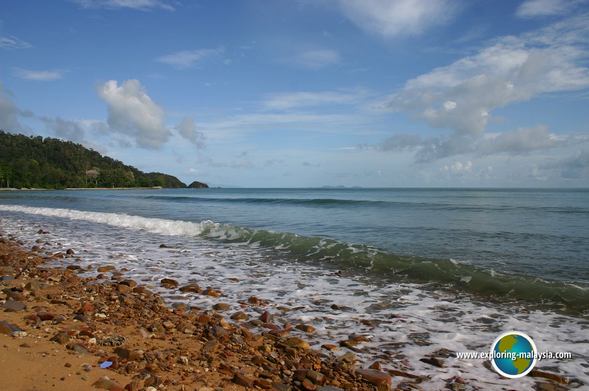
 Waves lapping the shore at Pebble Beach, Datai Bay (6 June, 2005)
Datai Bay (GPS: 6.42735, 99.67232) is a beautiful bay on the northwestern part of Langkawi. The road that leads towards it starts near the Langkawi Crocodile Farm. It passes the Pasir Tengkorak Beach, the Temurun Waterfalls and the man-made Langkawi Falls before arriving at Datai Bay. Two five-start resorts dominate the bay, namely the Andaman and the Datai.
From Datai Bay, one can look across the Andaman Sea northwards into Thailand. On the horizon are the islands of Tarutao, such as Koh Adang, Koh Lipe and Koh Tarutao. A sheer mountain range called Gunung Machincang guards Datai Bay from behind. There is a cable car service up this mountain, with the station located on the other side of the mountain range, at Pantai Kok.
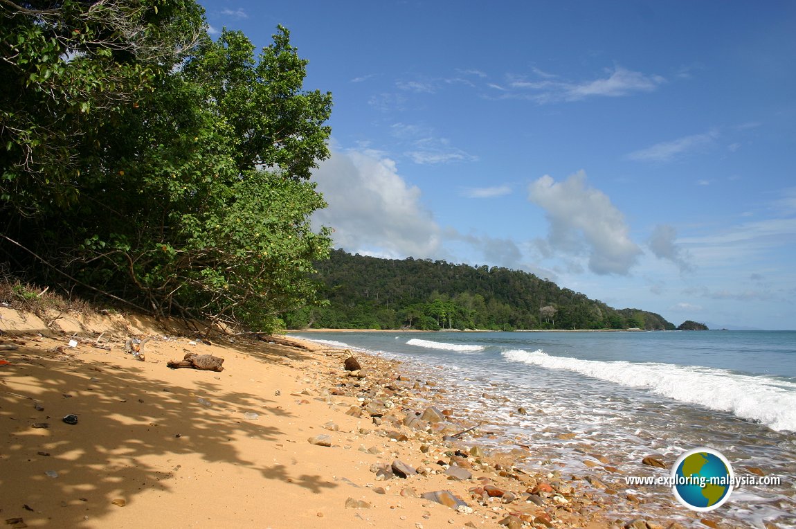
 Another view of Pebble Beach, Datai Bay (6 June, 2005)
 The Tarutao Archipelago in Thailand is visible from Datai Bay (6 June, 2005)
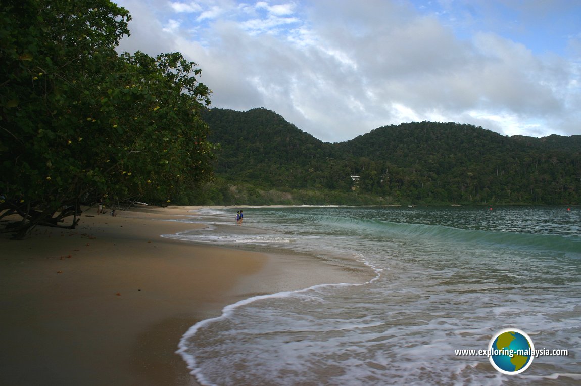
 A secluded cove at the Andaman Datai Bay (6 June, 2005)
Datai Bay is  on the Map of Jalan Datai, Langkawi
Datai Bay is  on the Map of Beaches in Langkawi
Back to Discover Langkawi mainpage; list of Beaches in Langkawi, Beaches in Kedah and Beaches in Malaysia
 Latest updates on Penang Travel Tips

Copyright © 2003-2025 Timothy Tye. All Rights Reserved.

 Go Back