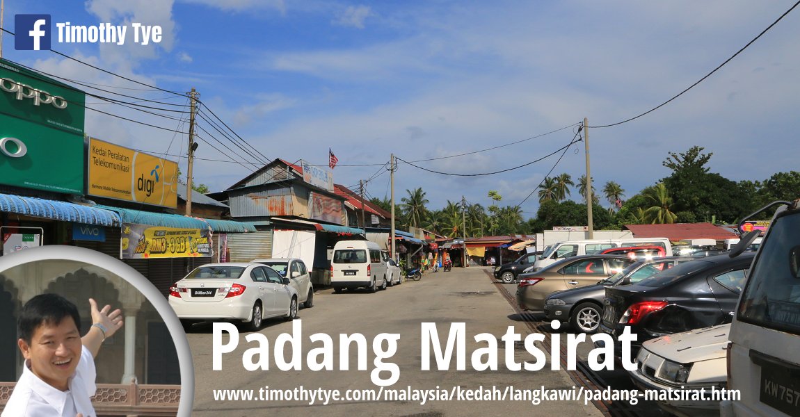
 Padang Matsirat, Langkawi (7 September, 2018)
Padang Matsirat (GPS: 6.35024, 99.73295) is a small town on the west coast of Langkawi. The area surrounding the small town including Datai Bay and Burau Bay are all part of the Padang Matsirat area.
The name Padang Matsirat comes from the rice field in Langkawi. This area was the former administrative centre for Langkawi before the centre moved to Kuah town. It was also here that the villagers set on fire their own store of rice, on the orders of the local chieftain, when they were beseiged by the Siamese in 1822. This happened just a few months after the Mahsuri tragedy (see Makam Mahsuri), resulting in mass starvation for the villagers themselves. The site is preserved today as Padang Beras Terbakar (Field of Burnt Rice).
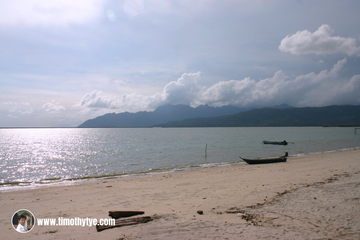
Padang Matsirat is where the Langkawi International Airport is located. The road around the airport runway continues south towards Pantai Cenang. The coastal stretch around the airport has some scenic views of Gunung Machincang in the northwest.
Map of Padang Matsirat, Langkawi
- Airport Roundabout (GPS: 6.35387, 99.73089)

- Beras Terbakar (GPS: 6.35387, 99.73089)

- Masjid Al Huda (GPS: 6.35088, 99.7299)

- Padang Matsirat Night Market (GPS: 6.35378, 99.73017)

 Beach at Padang Matsirat, Langkawi (4 June, 2005)
Back to Discover Langkawi mainpage
 Latest updates on Penang Travel Tips

Copyright © 2003-2025 Timothy Tye. All Rights Reserved.

 Go Back