
 Lata Mengkuang, Kedah (30 July, 2016)
Lata Mengkuang (GPS: 5.86065, 100.83638) is a forest reserve and waterfall in Sik District, Kedah. It is located within the Rimba Teloi Forest Reserve, about 11 km from the town of Sik. The Lata Mengkuang Recreational Forest is a lowland dipterocarp forest located at an elevation of 200 meters above sea level. The recreational area is along a one-kilometer stretch of Sungai Chepir, which cascades over rocks, making it an ideal place for swimming and picnicking.
Lata Mengkuang itself is the name of the 20-meter tall waterfall in the area. From the Lata Mengkuang Recreational Forest, it is possible to make a 5-km track through the jungle to the Lata Lembu Recreational Forest.
Getting there
Exit the North-South Expressway at the Gurun Interchange, Exit 173. Take State Route K10. Pass Sik town. Thereafter pass Peranginan Sik Recreational Forest. Lata Mengkuang Recreational Forest is on your left.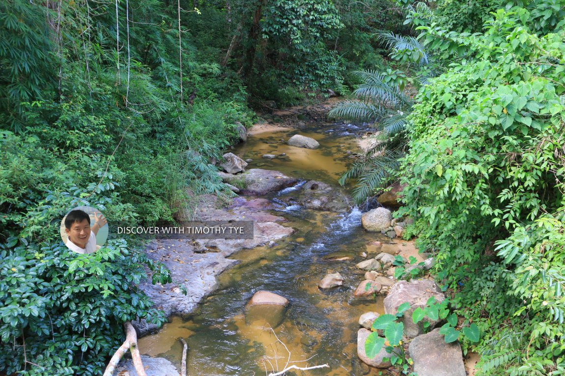 The river flowing down at Lata Mengkuang, Kedah (30 July, 2016)
 My wife and I at Lata Mengkuang, Kedah (30 July, 2016)
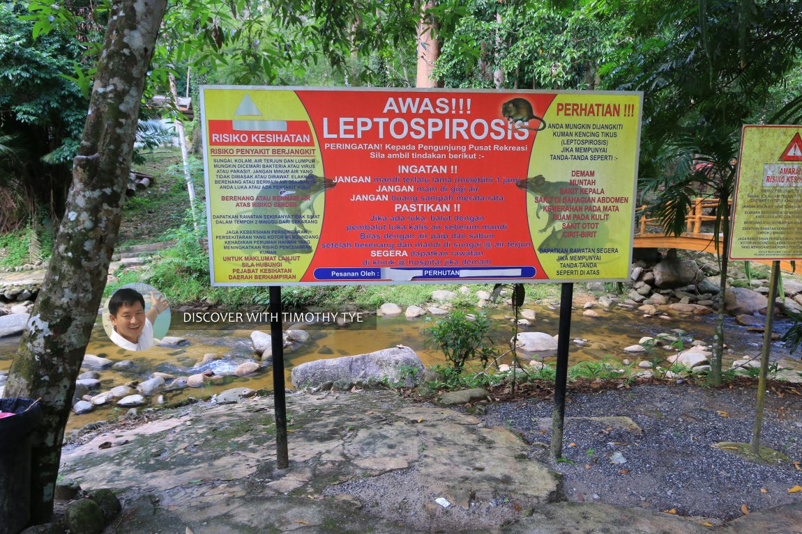 Warning of Leptospirosis at Lata Mengkuang, Kedah (30 July, 2016)
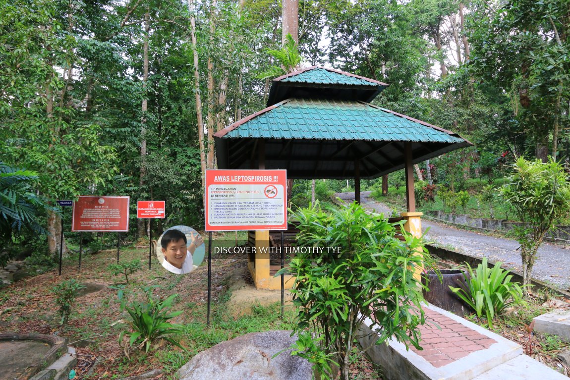 Pavilion at Lata Mengkuang, Kedah (30 July, 2016)
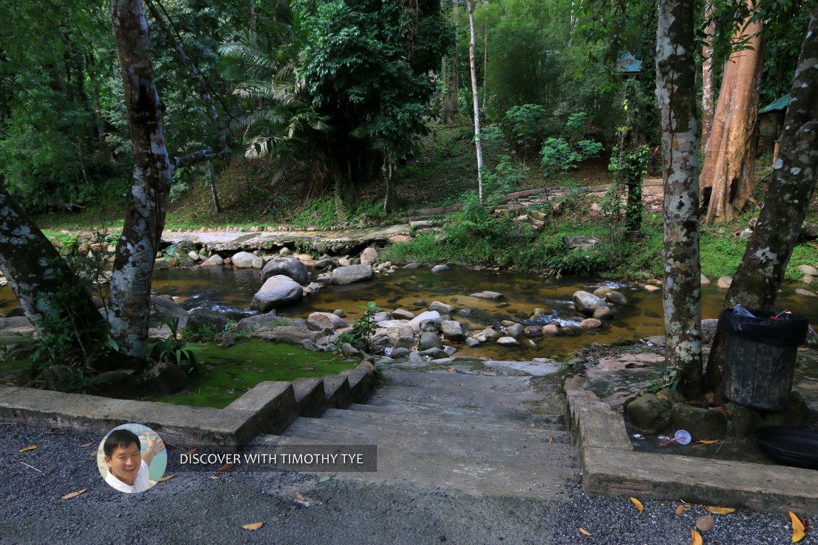 Steps going down to the water at Lata Mengkuang, Kedah (30 July, 2016)
Lata Mengkuang on Google Maps Street View
Lata Mengkuang (Jan 2014)Lata Mengkuang is  on Map of Forest Parks in Kedah
Back to Discover Kedah
 Latest updates on Penang Travel Tips
About this website

Dear visitor, thank you so much for reading this page. My name is Timothy Tye and my hobby is to find out about places, write about them and share the information with you on this website. I have been writing this site since 5 January 2003. Originally (from 2003 until 2009, the site was called AsiaExplorers. I changed the name to Penang Travel Tips in 2009, even though I describe more than just Penang but everywhere I go (I often need to tell people that "Penang Travel Tips" is not just information about Penang, but information written in Penang), especially places in Malaysia and Singapore, and in all the years since 2003, I have described over 20,000 places.
While I try my best to provide you information as accurate as I can get it to be, I do apologize for any errors and for outdated information which I am unaware. Nevertheless, I hope that what I have described here will be useful to you.
To get to know me better, do follow me on Facebook!
Copyright © 2003-2025 Timothy Tye. All Rights Reserved.

 Go Back