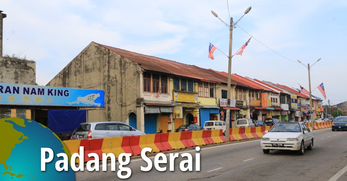
 Padang Serai, Kedah (31 August, 2016)
Padang Serai (GPS: 5.51313, 100.55408) is a small town and county (mukim) in Kedah. It is located in Kulim District, near the border with Seberang Perai, Penang, and to the south of the Muda River. Kuala Ketil is to the north of Padang Serai, while Lunas is to the south. Within Padang Serai are several small Malay villages such as Kampung Terat Batu, Kampung Ekor Kuching and Kampung Sidam Kanan.
Map of Padang Serai, Kedah
Sights in Padang Serai
- Grave of Daeng Parani (GPS: 5.55419, 100.54603)

- Jambatan Terat Batu (GPS: 5.55727, 100.53187)

- Masjid Terat Batu (GPS: 5.54553, 100.54063)

- Wat Olak Madu (GPS: 5.54105, 100.57158)

Villages in Padang Serai
- Kampung Terat Batu (tapai-making cottage industry) (GPS: 5.54743, 100.53651)

- Pantai Prai (GPS: 5.55964, 100.53029)

Getting there
From the North-South Expressway, exit at the Seberang Jaya Interchange, Exit 163. Take the Butterworth-Kulim Expressway (E15) eastward until Lunas. From Lunas, take Route 136 north, pass Lunas town, then turn right at junction (look out for the T-junction in town) to continue on Route 136 northwards until Padang Serai. The market square in Padang Serai, Kedah (31 August, 2016)
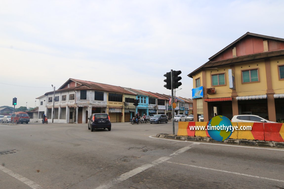
 Main intersection in Padang Serai, Kedah, between State Route K112 and Jalan Lunas (31 August, 2016)
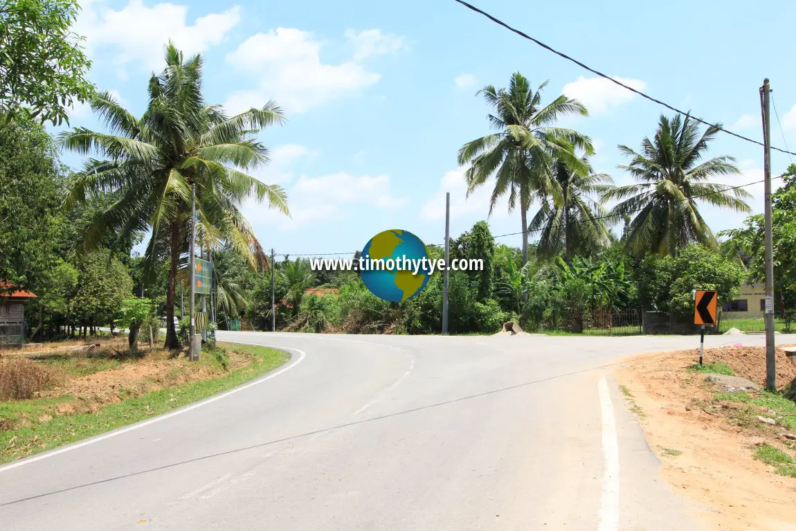
 Three-way junction at Kampung Terat Batu in Padang Serai, Kedah (22 July, 2015)
Padang Serai on Google Street View
State Route K112 in Padang Serai (May 2015)Padang Serai is  on the Map of Kedah
Back to Kedah mainpage; list of Towns in Kedah and Towns in Malaysia
 Latest updates on Penang Travel Tips

Copyright © 2003-2025 Timothy Tye. All Rights Reserved.

 Go Back