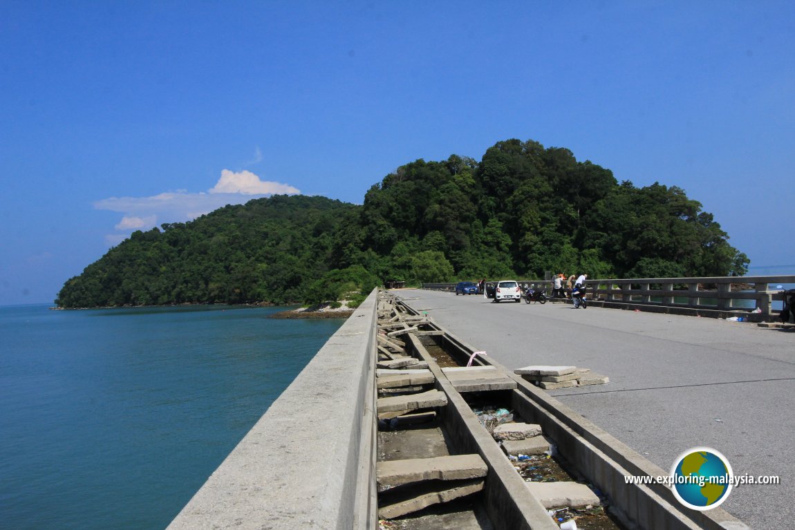
 Pulau Bunting, Kedah (25 July, 2015)
Pulau Bunting (GPS: 5.87611, 100.32783) is the northernmost in a row of islands off Yan District in Kedah. It is also the only one to be linked to the mainland by a bridge. The Pulau Bunting Bridge, or Jambatan Pulau Bunting connects it to the mainland.
Pulau Bunting attracts mainly the locals who go there for fishing and picnicking. The sea surrounding the island is quite clear. You can see the seabed from the island.
Updates on Pulau Bunting
27 October, 2018The Star reported that a new road has been planned between the Kedah coast and Jalan Alor Setar-Sungai Petani (Federal Route 1). This 18.2-kilometer road will pass through the paddy fields of Yan, enabling easy access to Pulau Bunting.
Pulau Bunting is  on the map of the Islands of Kedah
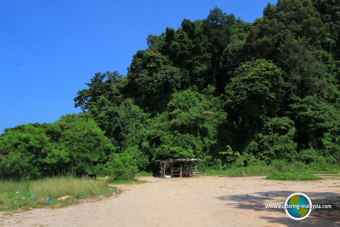 A hut on Pulau Bunting (25 July, 2015)
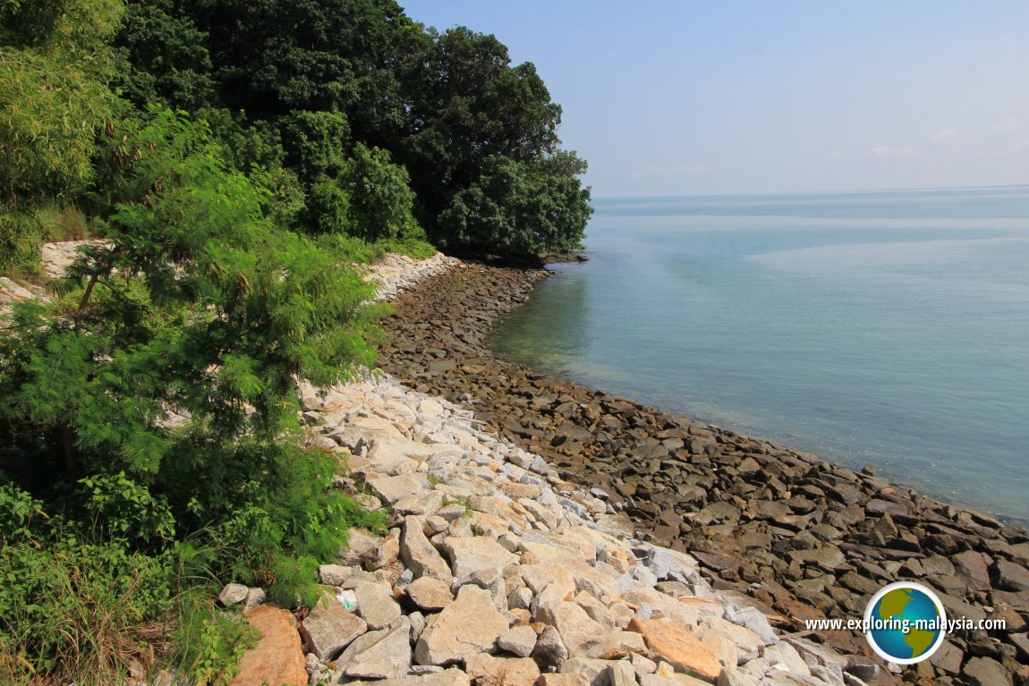 The coastline of Pulau Bunting is reenforced with rocks to prevent erosion. (25 July, 2015)
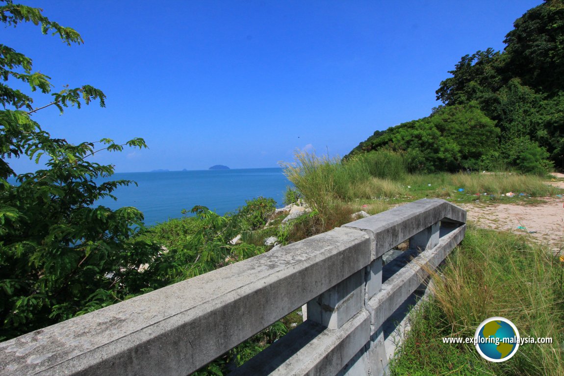 View of Pulau Bunting at the end of the Pulau Bunting Bridge. (25 July, 2015)
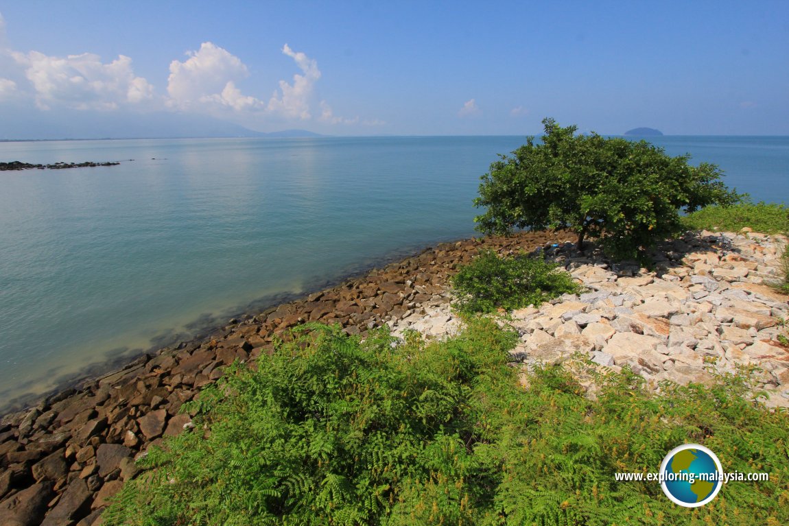 View of the Pulau Bunting coast with Gunung Jerai at the horizon. (25 July, 2015)
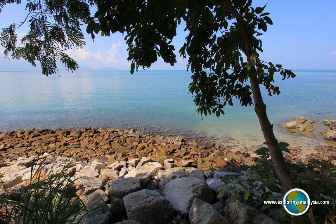 The sea off Pulau Bunting is quite clear. (25 July, 2015)
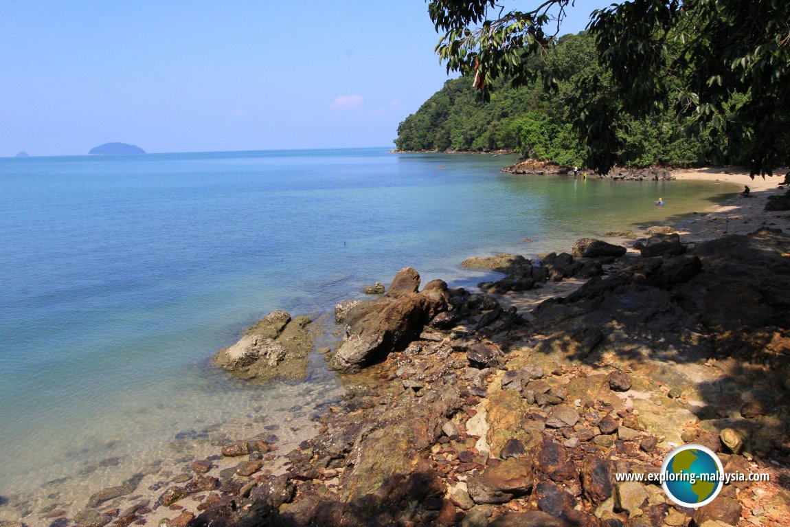 the beautiful coastline of Pulau Bunting. (25 July, 2015)
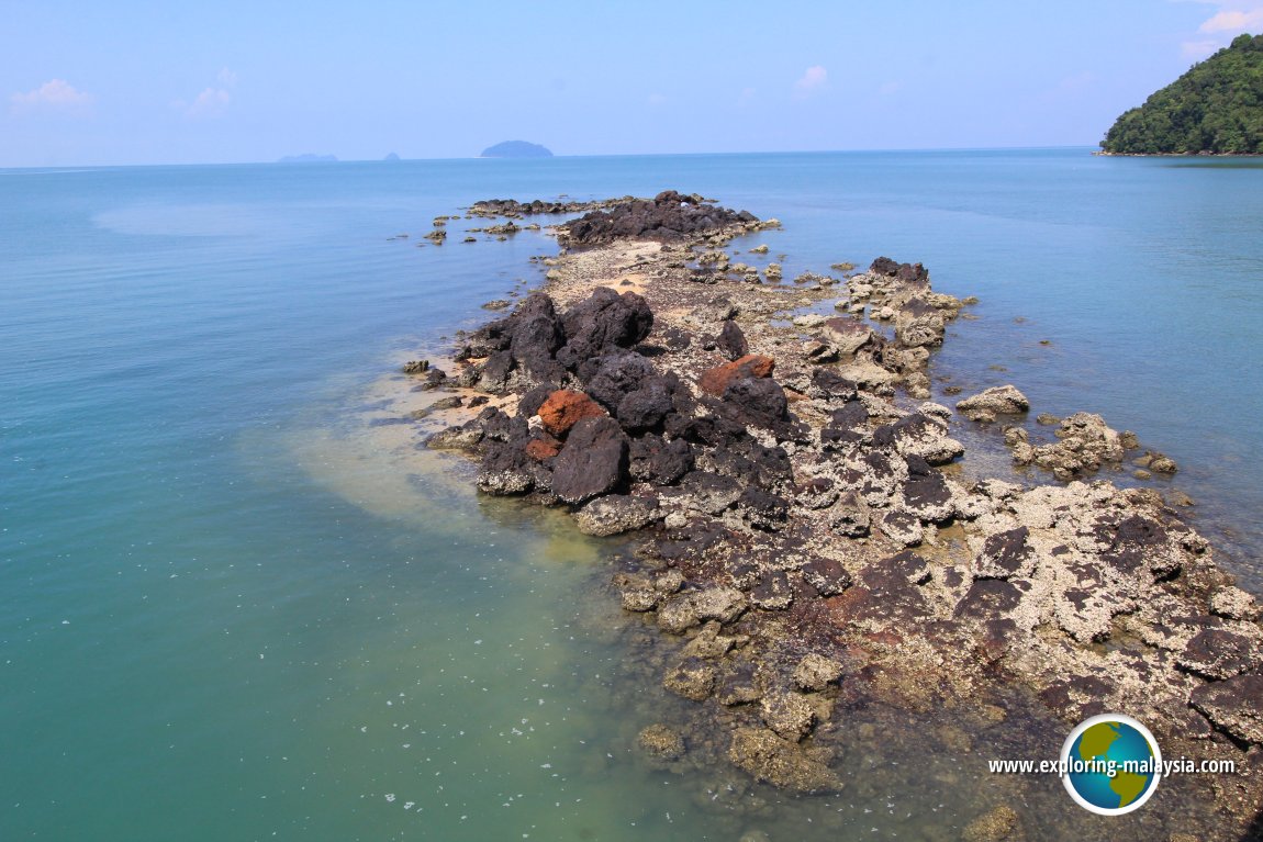 Reef off Pulau Bunting (25 July, 2015)
Back to Discover Kedah mainpage; list of Islands in Kedah and Islands in Malaysia
 Latest updates on Penang Travel Tips

Copyright © 2003-2025 Timothy Tye. All Rights Reserved.

 Go Back