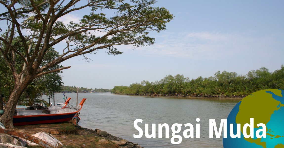
 Sungai Muda, Kedah (13 March, 2005)
Sungai Muda is one the longest river in Kedah. It is the main river flowing out of Muda Lake, or Tasik Muda, on a long and winding course that eventually ends at the Straits of Malacca. The final stretch of Sungai Muda forms the boundary between the states of Kedah and Penang.
Sungai Muda has a number of tributaries which are also important rivers in Kedah. They include Sungai Chepit, Sungai Ketil, and Sungai Sedim. The Sungai Muda basin is an important rice-producing area for Kedah. In the 19th century, the trade in tin and spices also made use of the river. To control the trade, Sultan Ahmad Tajuddin relocated his capital from Sungai Setar to Sungai Muda, where he built Kota Kuala Muda. The gate of this medieval fortress is still visible in the village of Kuala Muda.
There are many bridges across Sungai Muda, including those for the Federal Route 1 and for the North South Expressway. The bridge carrying Federal Route 1 is called the Merdeka Bridge.
The Muda River is described in this 19th century article appearing in The Straits Times1 on 29 June 1861. An excerpt reads:
The Mudah, which bounds the Province to the north, is a fine fresh-water river, the stream being generally so strong as to prevent the sea-water from entering. A vessel drawing 9 feet can cross the bar at high water spring tides, but the river is only frequented by boats which bring the produce to Pinang. As this river is the only high road toward the interior of the northern part of the Province, the villages on its banks will be noticed in the Itinerary.
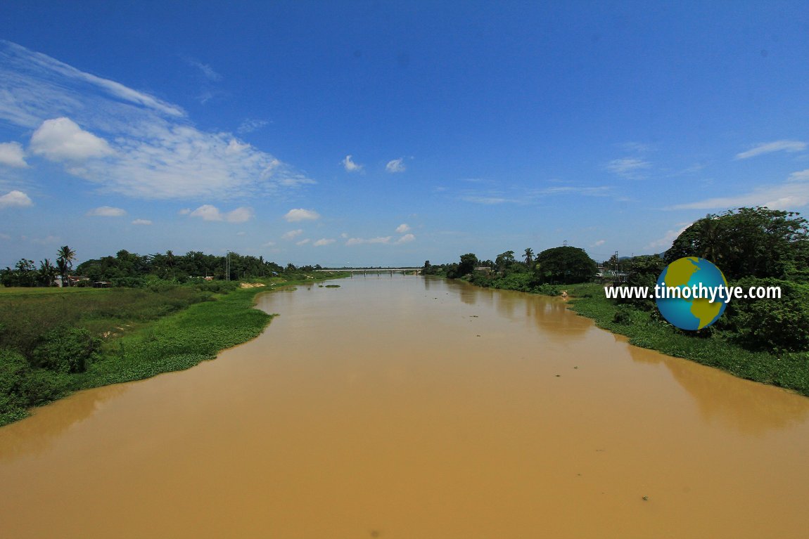 Sungai Muda, as seen from Pinang Tunggal. (22 July, 2015)
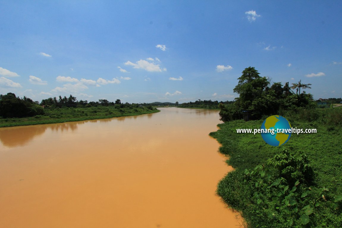 Sungai Muda, as seen from Pantai Prai. (22 July, 2015)
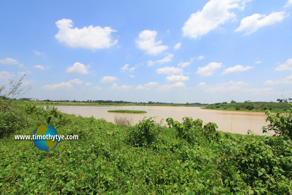 Sungai Muda, as seen from Ekor Kucing. (22 July, 2015)
360° Views of Sungai Muda
View of Sungai Muda near Kuala Muda.Map of Sungai Muda, Kedah
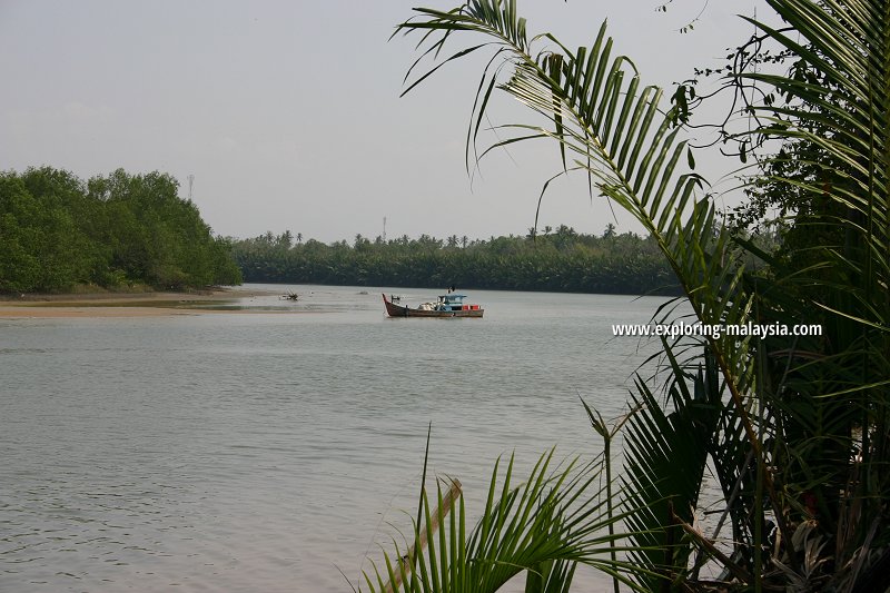 A fishing boat on the Muda River (13 March, 2005)
References
- The Straits Times (29 June, 1861): Topography of Province Wellesley
Back to Discover Kedah mainpage; list of Rivers in Kedah and Rivers in Malaysia
 Latest updates on Penang Travel Tips

Copyright © 2003-2025 Timothy Tye. All Rights Reserved.

 Go Back