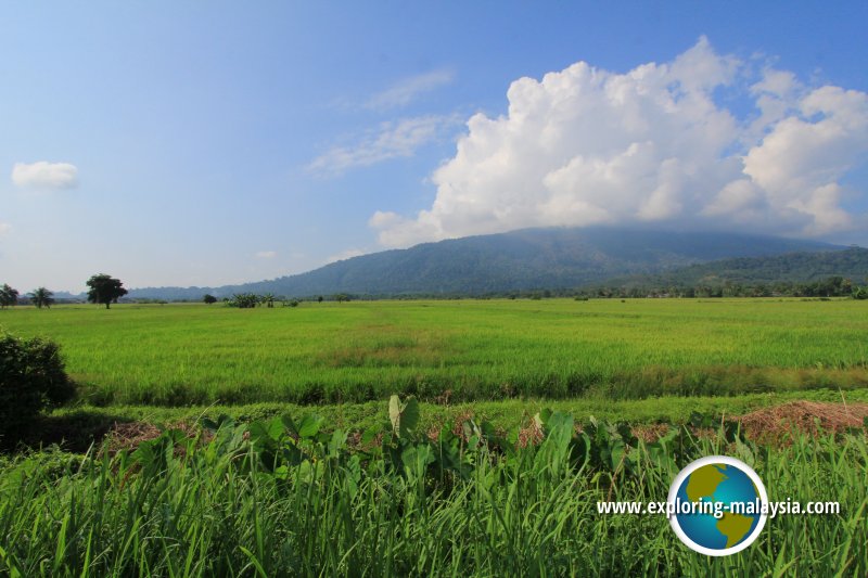
 Teroi, Kedah (25 July, 2015)
Teroi (GPS: 5.8487, 100.43456) is a small Malay village in Yan District, Kedah. This largely farming community is served by Jalan Guar Chempedak, which connects Teroi with Guar Chempedak to the east and Yan Kechil to the west.
Apart from the beautifully tree-lined Jalan Guar Chempedak, the landscape of Teroi is largely flat, with wide expanse of paddy fields. Looking southwards, you can get a panoramic view of Gunung Jerai, which is really nice on a clear day.
Although Teroi is a predominantly Malay village, the pekan or village centre is largely Chinese, with rows of Chinese shophouse. There is also a Chinese-type national school in the village.
Map of Teroi, Kedah
Sights in Teroi
- Masjid Al-Hannan (GPS: 5.84874, 100.43379)

Schools in Teroi
- Sekolah Jenis Kebangsaan (Cina) Pei Eng (GPS: 5.84644, 100.43019)
- Sekolah Kebangsaan Teroi (GPS: 5.84841, 100.4331)
360° View of Teroi on Google Maps Street View
TeroiTeroi is  on the Map of Kedah
Back to Kedah mainpage; list of Towns in Kedah and Towns in Malaysia
 Latest updates on Penang Travel Tips

Copyright © 2003-2025 Timothy Tye. All Rights Reserved.

 Go Back