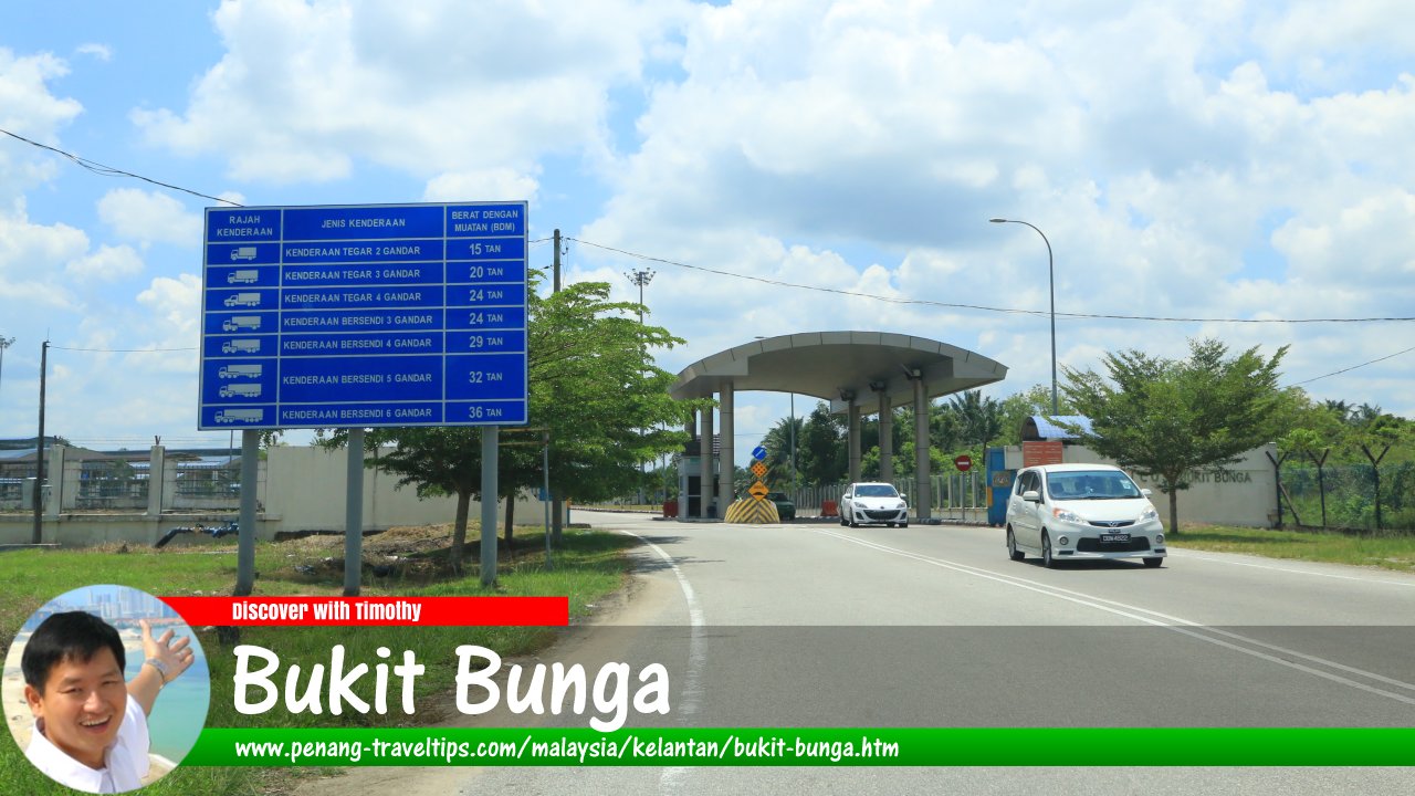
 Bukit Bunga, Kelantan (29 April 2017)
Bukit Bunga (GPS: 5.83505, 101.90127) is a border town on the Malaysian-Thai border in Kelantan. With the opening of the Bukit Bunga-Ban Buketa Bridge on 21 December, 2007, it became yet another border crossing between the two countries.
Bukit Bunga is located about 30 km from the town of Tanah Merah, which is the exit from the East West Highway. It is located across from the Thai town of Ban Buketa in Narathiwat Province. The name Bukit Bunga means "flower hill", although there is no clear explanation how it got this name.
The town of Bukit Bunga is actually a cluster of small villages, among them Bukit Nangka, Cedok, Jenub, Kampung Bukit, Renab and Tokpe. The people are mostly Kelantanese Malays.
Map of Bukit Bunga, Kelantan
Sights in Bukit Bunga
- Balai Polis Bukit Bunga (GPS: 5.833, 101.89786)

- Hentian Rehat Bukit Bunga (GPS: 5.83755, 101.90519)

- Kompleks ICQS Bukit Bunga (GPS: 5.83547, 101.89491)

- Masjid Bukit Bunga (GPS: 5.83127, 101.89874)

- Pantai Timur Shopping Centre (GPS: 5.83811, 101.90566)

- Pasar Malam Machang (GPS: 5.7673, 102.21642)

- Sekolah Kebangsaan Bukit Bunga (GPS: 5.83283, 101.89683)

Bukit Bunga is  on the Map of Jajahan Jeli, Kelantan
Bukit Bunga is  on the Map of Kelantan
Back to Jajahan Jeli and Discover Kelantan mainpage; list of Towns in Kelantan and Towns in Malaysia
 Latest updates on Penang Travel Tips

Copyright © 2003-2025 Timothy Tye. All Rights Reserved.

 Go Back