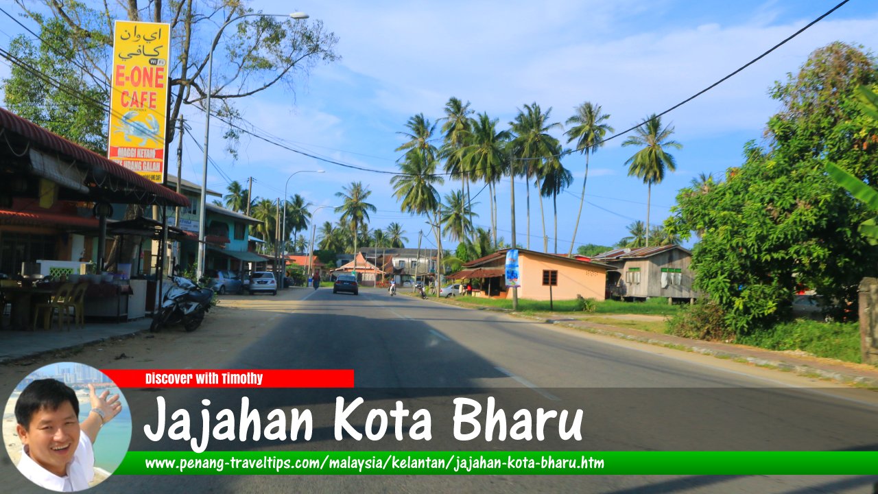
 Jajahan Kota Bharu, Kelantan (1 May 2017)
Jajahan Kota Bharu is one of the ten administrative districts of Kelantan. It is where the state capital Kota Bharu is located. The Jajahan Kota Bharu shares a border with Jajahan Bachok to the east, Jajahan Pasir Puteh to the southeast, Jajahan Machang to the south, Jajahan Pasir Mas and Jajahan Tumpat to the east.
Map of Jajahan Kota Bharu, Kelantan
Sights in Jajahan Kota Bharu
- Pantai Cahaya Bulan (GPS: 6.19623, 102.27364)

- Sultan Ismail Petra Airport (GPS: 6.16965, 102.29474)

Towns and Villages in Jajahan Kota Bharu
- Kota Bharu (GPS: 6.13127, 102.23666)

- Kampung Badang (GPS: 6.15174, 102.24351)

- Kampung Gertak Sagu (GPS: 6.14549, 102.31288)

- Kampung Panchor (GPS: 6.13496, 102.30534)

- Kampung Penambang (GPS: 6.14745, 102.23898)

- Kampung Tebing Tinggi (GPS: 6.17268, 102.31887)

- Kampung Tikat (GPS: 6.15174, 102.24351)

- Kemumin (GPS: 6.14798, 102.31494)

Back to Discover Kelantan
 Latest updates on Penang Travel Tips

Copyright © 2003-2025 Timothy Tye. All Rights Reserved.

 Go Back