 Go Back
 Jajahan Tumpat (29 April, 2017)
Jajahan Tumpat is the northernmost district of Kelantan. It is separated from Jajahan Kota Bharu to the east by the Kelantan River. It also shares a border with Jajahan Pasir Mas to the south and Thailand to the west. The administrative centre for Jajahan Tumpat is Tumpat Town.
Pengkalan Kubor, a town in Jajahan Tumpat, is the location of a river crossing from Kelantan to Golok in Thailand. Due to the proximity of this district to Thailand, it has absorbed Thai influences that is reflected in the numerous Thai Buddhist temples in this district.
Map of Jajahan Tumpat, Kelantan
Villages and Towns in Jajahan Tumpat
- Tumpat Town (GPS: 6.199, 102.16764)

- Kampung Air Dingin (GPS: 6.23319, 102.09159)

- Kampung Ana (GPS: 6.13335, 102.14047)

- Kampung Dalam Rhu (GPS: 6.19869, 102.16473)

- Kampung Kepulau (GPS: 6.14699, 102.21191)

- Kampung Sedar (GPS: 6.17781, 102.17499)

- Kampung Talak (GPS: 6.14454, 102.1513)

- Kampung Terbok (GPS: 6.18284, 102.1705)

- Kampung Tujoh (GPS: 6.20761, 102.14198)

- Morak (GPS: 6.13794, 102.21306)

- Pantai Sri Tujoh (GPS: 6.2171, 102.12679)

- Pengkalan Kubor (GPS: 6.23319, 102.09159)

Sights in Jajahan Tumpat
- Istana Bukit Tanah (GPS: 6.19217, 102.16489)
 Residence of the Sultan of Kelantan when in Tumpat. It is believed to have been built in 1910 on a three-acre site.
 - Kedai Akok Sohor (GPS: 6.1292, 102.21098)

- Kelantan Wau Museum (GPS: 6.21568, 102.12655)

- Kompleks ICQS Pengkalan Kubor (GPS: 6.23298, 102.09151)

- Kompleks Perpaduan Jajahan Tumpat (GPS: 6.18295, 102.16942)

- Masjid Al-Ismaili (GPS: 6.12018, 102.21564)

- Masjid As-Somadi (GPS: 6.22157, 102.10944)

- Masjid Aziz Al-Hadi (GPS: 6.1561, 102.20209)

- Masjid Iktikaf Pasar Geting (GPS: 6.21885, 102.11592)

- Masjid Mukim Bunohan (GPS: 6.18076, 102.11813)

- Masjid Wakaf Jawa (GPS: 6.09708, 102.20897)

- Pasaraya Ten Ten (GPS: 6.17807, 102.18858)

- Wat Cheng Buddhavas (GPS: 6.09708, 102.20897)

- Wat Kok Seraya Wanaram (GPS: 6.16078, 102.16247)

- Wat Machimmaram (GPS: 6.18635, 102.10831)

- Wat Mai Suwankiri Dragon Boat Temple (GPS: 6.17807, 102.18858)

- Wat Pikulthong (GPS: 6.18251, 102.16755)

- Wat Phikulyai (GPS: 6.18713, 102.10597)

- Wat Phothivihan: (GPS: 6.13025, 102.13738)

- Wat Pracacinaram (GPS: 6.11282, 102.19348)

- Wat Prachumthat Canaram (GPS: 6.18428, 102.10887)

- Wat Sukhontharam (GPS: 6.16944, 102.13607)

Roads in Jajahan Tumpat, Kelantan
Petrol Stations in Tumpat
- Caltex Tumpat (GPS: 6.1894, 102.16836)

- Petronas Tumpat (GPS: 6.18585, 102.16733)

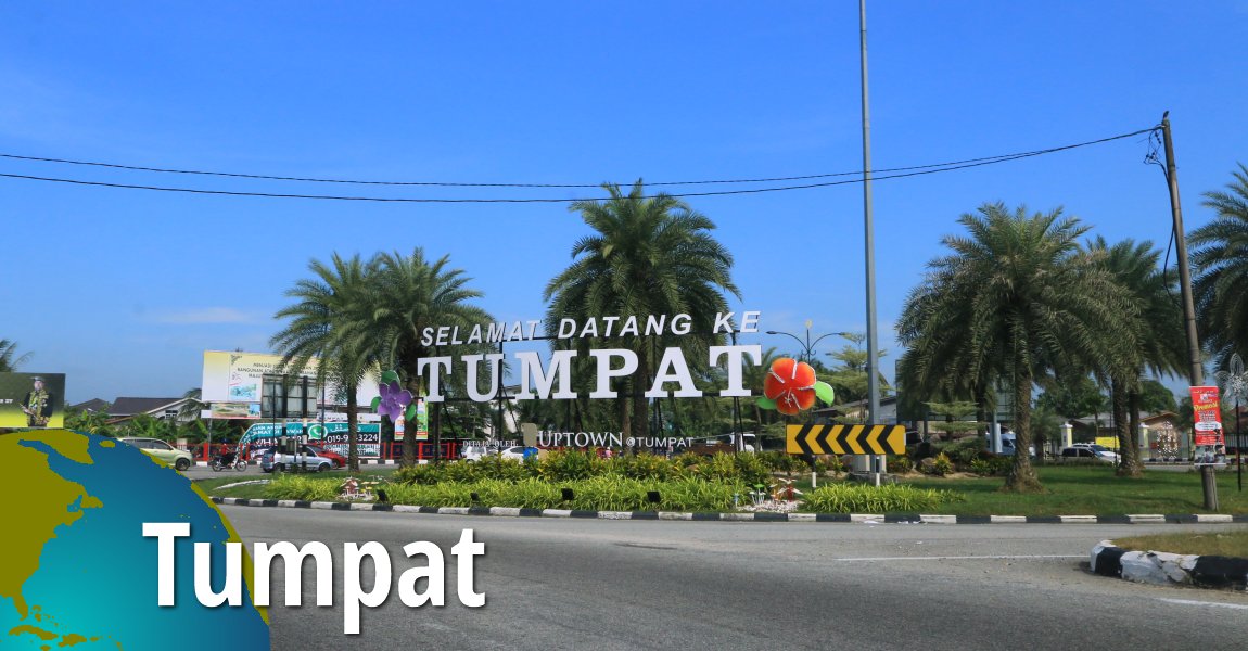
Tumpat, Kelantan
The town of Tumpat is the administrative centre for the district of Jajahan Tumpat. Get to know it here.Details
") Sekolah Kebangsaan Sri Tumpat (2) on Kelantan State Route D174 (30 April, 2017)
Sekolah Kebangsaan Sri Tumpat (2) on Kelantan State Route D174 (30 April, 2017) Jalan Masjid Mukim Tujoh (D174), the coastal road in Tumpat. (30 April, 2017)
 State Route D174 towards Pengkalan Kubor (30 April, 2017)
Back to Discover Kelantan
 Latest updates on Penang Travel Tips

Copyright © 2003-2025 Timothy Tye. All Rights Reserved.