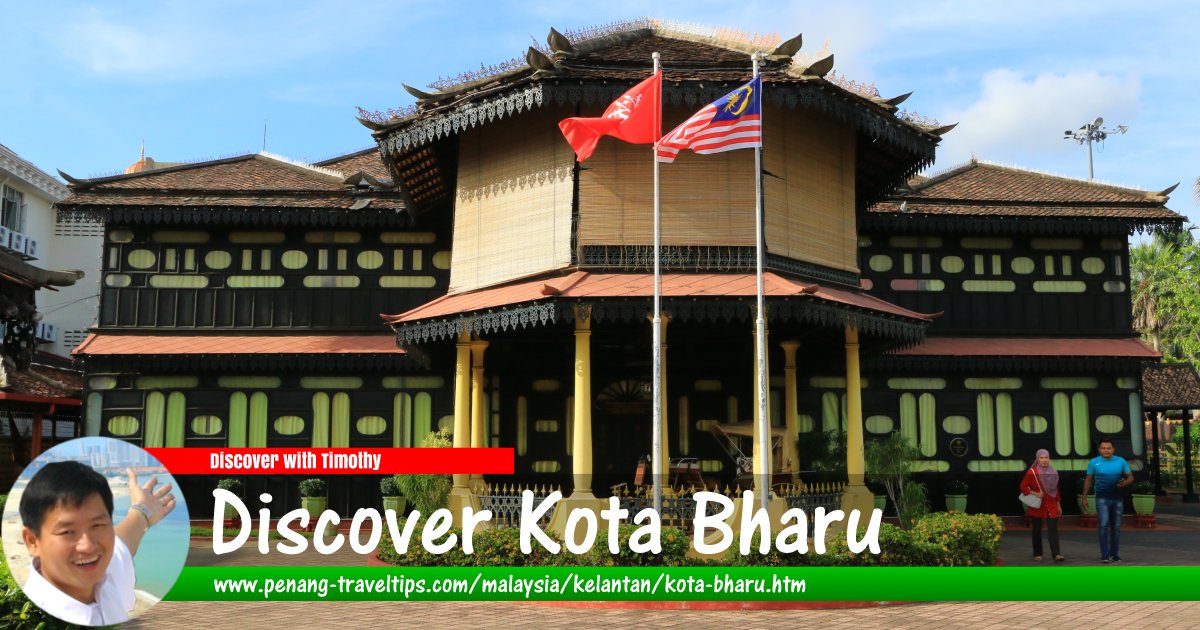
 Discover Kota Bharu (29 April, 2017)
B. Melayu
Kota Bharu (GPS: 6.13127, 102.23666) is the capital of Kelantan Darul Naim. It is located on the northeastern part of Peninsular Malaysia. With an estimated 2010 population of about 610,000, it is one of the largest towns in the East Coast.
Being by the banks of the Kelantan river, Kota Bharu is flood prone. Within Kota Bharu town are many heritage sights such as palaces and mosque. Due to Kelantan's proximity to Thailand, there are many big Thai temples close to Kota Bharu, especially in the town of Tumpat. There are about 30 Buhhist temples in Kelantan, which is something of a surprise for a state with an overwhelmingly Malay population.
Map of Kota Bharu, Kelantan
Sights in Kota Bharu
Listed below are sights within the city of Kota Bharu. For sights within the district of Kota Bharu, refer to Jajahan Kota Bharu.- AEON Mall Kota Bharu (GPS: 6.11097, 102.23084)

- Arked Kota Bharu (GPS: 6.12564, 102.23893)

- Bangunan Tabung Haji (GPS: 6.12564, 102.23893)

- Bank Kerapu (GPS: 6.13185, 102.23545)

- Bank Pitis (GPS: 6.13086, 102.2372)

- Bazar Tengku Anis (GPS: 6.13261, 102.2382)

- Cenotaph (GPS: 6.13123, 102.23646)

- Emaslink Pacific Hotel (GPS: 6.12701, 102.24766)

- Handicraft Village and Craft Museum (GPS: 6.13198, 102.23799)

- Islamic Museum (GPS: 6.13187, 102.23604)

- Istana Balai Besar (GPS: 6.13113, 102.23739)

- Istana Batu (GPS: 6.1321, 102.23735)

- Istana Jahar (GPS: 6.13154, 102.23712)

- Istana Kota Lama (GPS: 6.12001, 102.23495)

- Jabatan Kastam Diraja Malaysia (GPS: 6.13215, 102.23487)

- Kampung Cina (GPS: 6.14177, 102.23422)

- KB Mall (GPS: 6.11773, 102.2407)

- Kelantan Chinese Chamber of Commerce (GPS: 6.12813, 102.24214)

- Kelantan Trade Centre (GPS: 6.12174, 102.24282)

- Kompleks Islam Darulnaim (GPS: 6.1028, 102.26244)

- Kompleks Niaga Tabung Haji (GPS: 6.12609, 102.23887)

- Kota Bharu Trade Centre (GPS: 6.1291, 102.23937)

- Kota Sri Mutiara (GPS: 6.11329, 102.24954)

- KPJ Perdana Specialist Hospital (GPS: 6.12143, 102.24368)

- Lotus's Kota Bharu (GPS: 6.11467, 102.23116)

- Lundang City View (GPS: 6.11073, 102.25251)

- Masjid An Naim (GPS: 6.12758, 102.24708)

- Masjid Muhammadi (GPS: 6.13202, 102.23669)

- Masjid Mukim Telok Kitam (GPS: 6.16802, 102.30715)

- Masjid Sultan Ismail Petra (GPS: 6.15749, 102.24579)

- Menara Jam Besar (GPS: 6.12558, 102.23759)

- Menara Jam Kota Bharu (GPS: 6.1293, 102.23999)

- Menara Jam Tambatan DiRaja (GPS: 6.13175, 102.23424)

- Menara One Hotel (GPS: 6.12651, 102.24826)

- Merdeka Square (GPS: 6.13138, 102.23568)

- Muhammadi Mosque (GPS: 6.13202, 102.23669)

- Nang Ying Gong Temple (GPS: 6.14226, 102.23608)

- Nasi Kukus Kebun Sultan (GPS: 6.13067, 102.24309)

- Pelangi Mall (GPS: 6.13175, 102.23424)

- Pintu Gerbang Dataran Cheng Ho (GPS: 6.13061, 102.24321)

- Royal Guest House (GPS: 6.13183, 102.23724)

- Royal Pier Clock Tower (GPS: 6.13175, 102.23424)

- Siti Khadijah Central Market (GPS: 6.13008, 102.23914)

- Stadium Sultan Muhammad IV (GPS: 6.1238, 102.24268)

- Sultan Ismail Petra Arch (GPS: 6.13125, 102.23669)

- Sultan Yahya Petra Bridge (GPS: 6.11643, 102.22829)

- Tambatan D'Raja (GPS: 6.13206, 102.23424)

- Troika (GPS: 6.12078, 102.24086)

- Taman Perbandaran Tengku Anis (GPS: 6.14402, 102.2517)

- Terminal Bas Kota Bharu (GPS: 6.11279, 102.22944)

- Tin Hin Kong Temple (GPS: 6.11643, 102.22829)

Streets in Kota Bharu, Kelantan
- Bulatan Gok Kapor
- Bulatan Jam Besar
- Jalan Belakang Stadium
- Jalan Buluh Kubu
- Jalan Che Su
- Jalan Dato Pati
- Jalan Dusun Muda
- Jalan Dusun Raja
- Jalan Gajah Mati
- Jalan Hospital
- Jalan Hulu Kota
- Jalan Mahmood
- Jalan Masjid
- Jalan Pantai Cahaya Bulan
- Jalan Parit Dalam
- Jalan Pengkalan Chepa
- Jalan Pintu Pong
- Jalan Post Office Lama
- Jalan Sultan
- Jalan Sultanah Zainab
- Jalan Temenggong
- Jalan Tengku Besar
- Jalan Tengku Chik
- Jalan Tok Guru
Places to eat in Kota Bharu
- Kopitiam Kita (GPS: 6.12949, 102.24954)

Sights in the vicinity of Kota Bharu
These are sights Jajahan Kota Bharu, the district within the municipality of Kota Bharu but outside the town centre. For more sights, go to the page on Jajahan Kota Bharu.- Pantai Cahaya Bulan (GPS: 6.19623, 102.27364)

- Sultan Ismail Petra Airport (GPS: 6.16965, 102.29474)

Categories of sights in Kota Bharu
Villages and neighbourhoods in Kota Bharu
History of Kota Bharu
According to the blog of the royal family of Long Yunus1, the town of Kota Bharu was originally known as Kota Pengalan Galuh, a fort within the village of Kampung Sirih. It was established by a local nobleman known as Long Yunus. Long Yunus was possibly born in Pattani, in present-day Siam. His father, Raja Long Sulaiman, had abandoned Long Yunus's mother in 1701, when she was still pregnant with him. Long Sulaiman embarked on a voyage that took him to Acheh, and then to Istanbul, where he lived for the next 35 years.Long Yunus was raised by his stepmother, Mas Chayam, who was a consort to the ruler of Pattani. From Pattani, Long Yunus migrated south to eventually settled in a village in present-day Kelantan. After the demise of Raja Long Muhammad in 1757, Long Yunus moved to Terengganu along with his companion Long Gakpa. While in Terengganu, he got news that a Kelantanese chieftain, Raja Long Pandak, was forming an army to attack Terengganu. Long Pandak had enslaved the young men in Kelantan to force them into joining his army. Learning of this, Long Yunus sought the help of the Sultan of Terengganu, along with volunteers in Kelantan, to fight Long Pandak. A civil war erupted in 1759, and it was won by Long Yunus, who was declared the ruler of Kelantan. He then relocated the capital from Kota Kubang Labu to Kota Pengalan Galuh, and the site became present-day Kota Bharu.
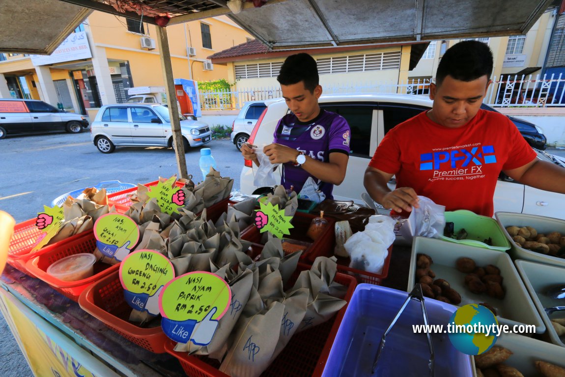 Roadside food stall in Kota Bharu (30 April, 2017)
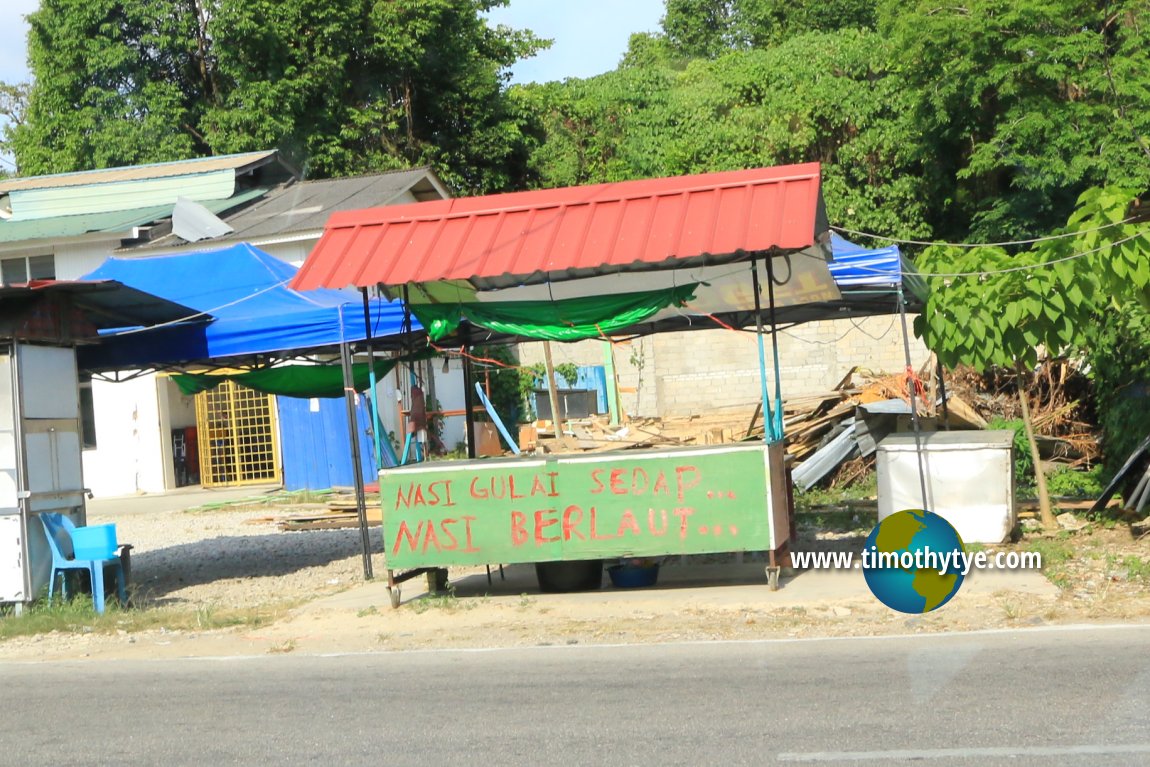 Kota Bharu hawker stall Kota Bharu (29 April, 2017)
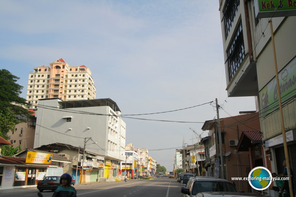 Kota Bharu, Kelantan (12 February 2006)
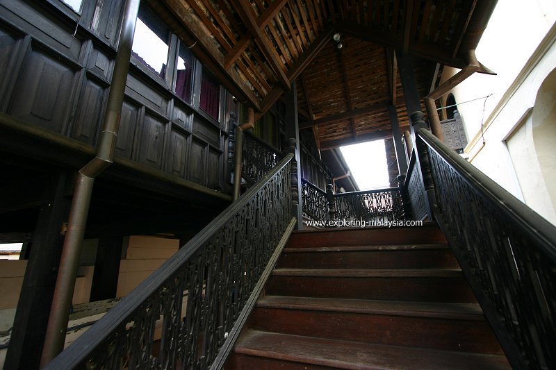 Interior of Handicraft Village, Kota Bharu (12 February 2006)
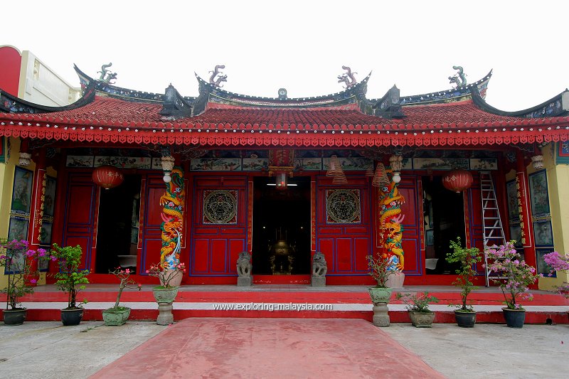 Tin Hin Kong Temple, Kampung Cina, Kota Bharu (1 January, 2007)
How to go to Kota Bharu
You can take a flight, a train or a bus to reach Kota Bharu. The Sultan Ismail Petra Airport (KBR) in Pengkalan Chepa is the main airport for Kelantan. It is served by Malaysia Airlines, AirAsia and Firefly.For a bit of sightseeing, you might consider taking the Jungle Train that runs between Gemas in Negri Sembilan to Tumpat in Kelantan. It offers you a good view of the tropical rainforest.
Finally, Kota Bharu is connected with all major cities in Peninsular Malaysia by bus.
Weather
Kota Bharu is a flood-prone city, particularly during the monsoon season. Here are some photos that I shot of theKota Bharu is  on the Map of Towns in Kelantan
References
Back to Discover Kelantan mainpage; mist of Towns in Kelantan and State Capitals of Malaysia
 Latest updates on Penang Travel Tips

Copyright © 2003-2025 Timothy Tye. All Rights Reserved.

 Go Back