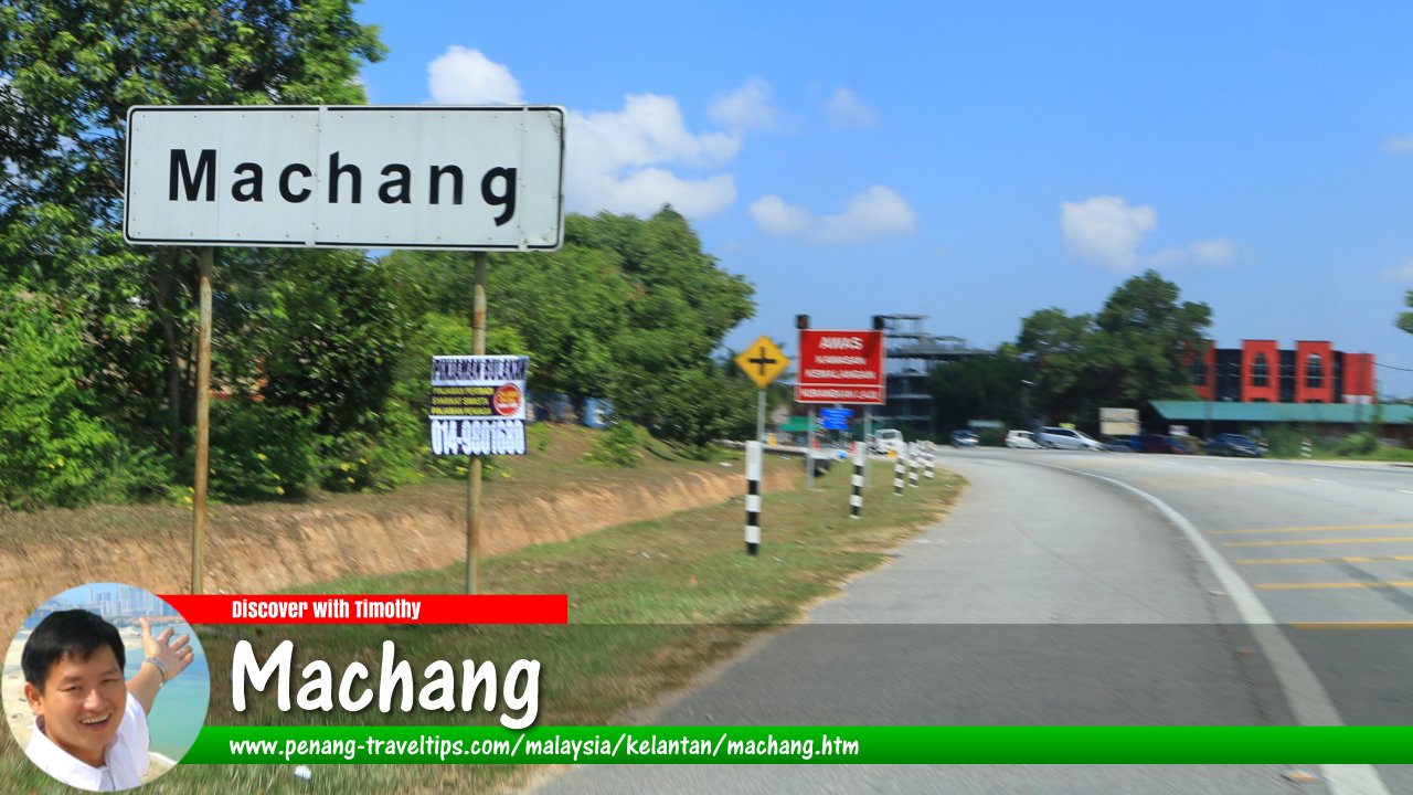
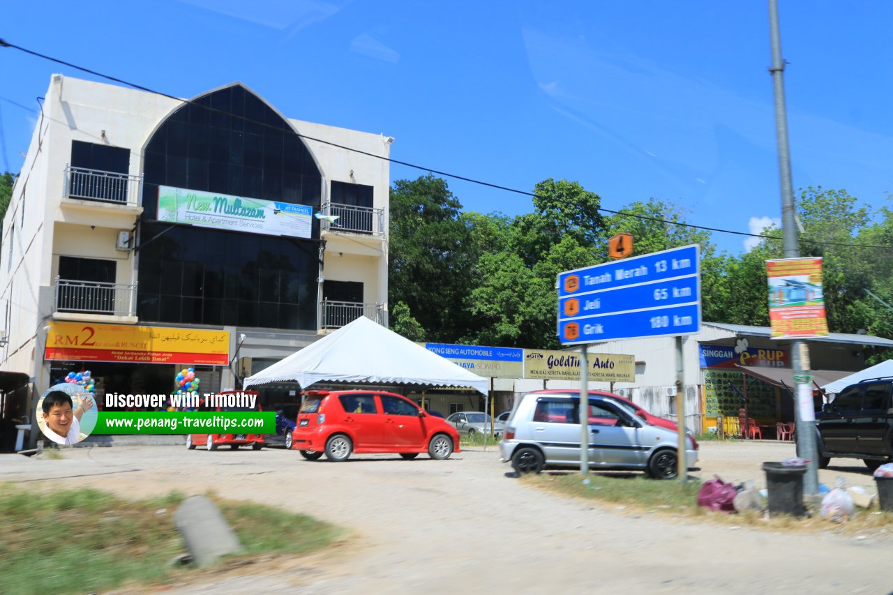
 Machang, Kelantan (2 May 2017)
Machang (GPS: 5.76793, 102.21538)is a town in the state of Kelantan on the northeastern part of Peninsular Malaysia. It is also the administrative seat of Jajahan Machang.
The town of Machang was established in 1880 by settlers hailing from Pasir Tumboh, Kelantan. It was named after the horse mango, which is Machang in the Malay language.
Map of Machang, Kelantan
Sights in Machang
- Chabang Tongkat Forest Reserve: This forest reserve is located between Machang and Pasir Putih districts. Within the vicinity is the 568-meter Bukit Tualang Chepa.
- Kampung Lalang Luas Pillbox
- Kompleks Perpaduan Machang (GPS: 5.76285, 102.21505)

- Machang Bus Station (GPS: 5.76532, 102.2207)

- Jajahan Machang Police Headquarters (GPS: 5.77969, 102.2167)

- Machang Hospital (GPS: 5.7632, 102.22581)

- Masjid Machang Lama (GPS: 5.76212, 102.21248)

- Masjid Sultan Yahya Petra Machang (GPS: 5.76323, 102.21675)

- Pasar Malam Machang (GPS: 5.7673, 102.21642)

- Pejabat Pos Machang (GPS: 5.76487, 102.21718)

- Terminal Bas Ekspres Machang (GPS: 5.76409, 102.21509)

Going to Machang
Take Federal Route 8 from Kota Bharu heading south. The town is located to the southeast of Tanah Merah.Machang is  on the Map of Kelantan
 Machang, Kelantan (2 May 2017)
Back to Discover Kelantan mainpage; list of Towns in Kelantan and Towns in Malaysia
 Latest updates on Penang Travel Tips

Copyright © 2003-2025 Timothy Tye. All Rights Reserved.

 Go Back