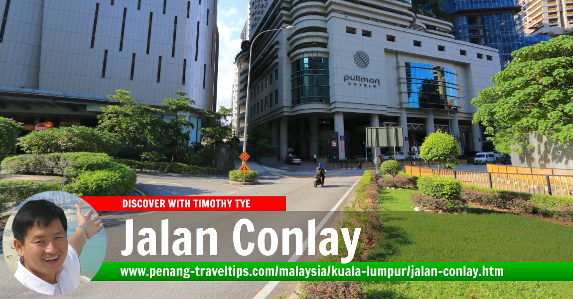
 Jalan Conlay, Kuala Lumpur (11 August, 2019)
Jalan Conlay is a road in the Bukit Bintang neighbourhood of Kuala Lumpur. It starts at the junction with Jalan Raja Chulan in the west, and ends at the intersection with Jalan Kia Peng in the east, beyond which continues Jalan Eaton. Much of the land on both sides of Jalan Conlay is presently undergoing redevelopment.
Jalan Conlay was originally Conlay Road. It was named after William Lance Conlay1, the Police Commissioner of the Federated Malay States, serving from 1916 to 1926. Having served under various capacities in different parts of the British Empire, Conlay was fluent in Hindustani, Persian and Malay.
Map of Jalan Conlay, Kuala Lumpur
Tourist Attractions on Jalan Conlay
- Cultural Craft Complex (GPS: 3.14937, 101.71895)

- Rumah Penghulu Abu Seman (GPS: 3.15031, 101.71646)

Hotels on Jalan Conlay
- Banyan Tree Signatures Pavilion (GPS: 3.15032, 101.7137)

- The Royale Chulan Hotel (GPS: 3.14925, 101.71713)

Organisations on Jalan Conlay
- Badan Warisan Malaysia (GPS: 3.15053, 101.71668)

Palaces on Jalan Conlay
- Istana Kelantan (GPS: 3.15035, 101.72041)

Development Projects on Jalan Conlay
- 8 Conlay (GPS: 3.15052, 101.71541)

Harrods Square(cancelled) (GPS: 3.14976, 101.71449)
 Jalan Conlay, Kuala Lumpur (28 December 2023)
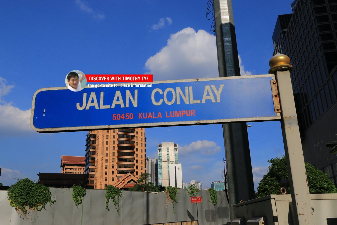
 Jalan Conlay roadsign (11 August, 2019)
360° View of Jalan Conlay on Google Maps Street View
Jalan ConlayReferences
- Kuala Lumpur Street Names by Mariana Isa & Maganjeet Kaut, published by Marshall Cavendish (2015) page 79.
Back to Discover Kuala Lumpur; list of Streets of Kuala Lumpur and Streets of Malaysia

Copyright © 2003-2025 Timothy Tye. All Rights Reserved.

 Go Back