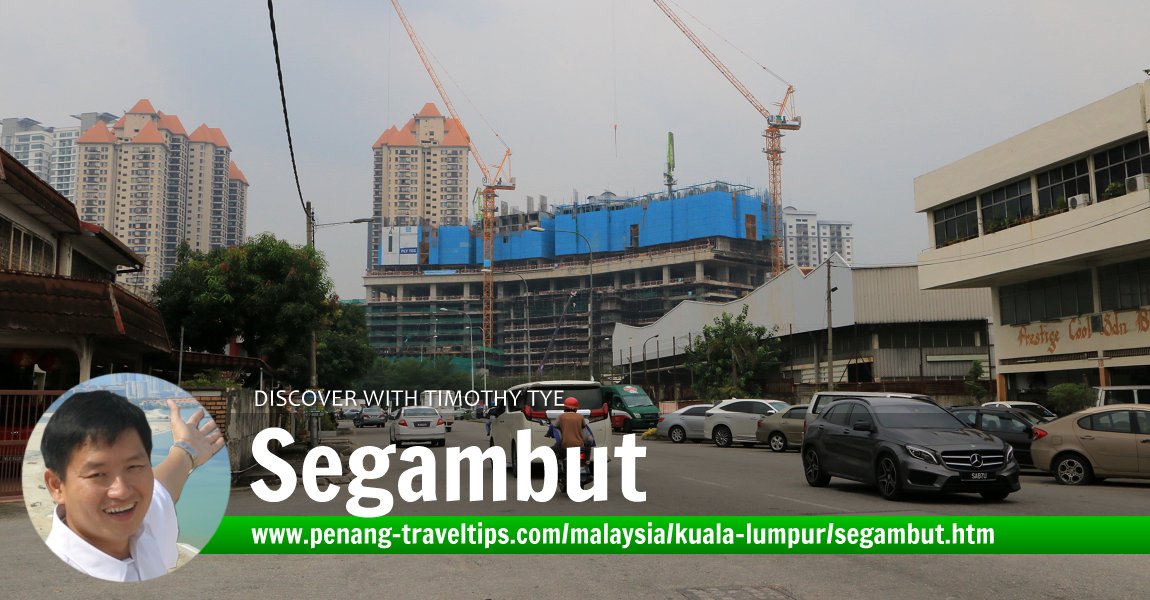
 Segambut, Kuala Lumpur (9 August, 2019)
Segambut (GPS: 3.19172, 101.67338) is one of the eleven districts of Kuala Lumpur. It is located on the west side of the city, and is bordered by Kepong and Sentul to the north, Bukit Bintang to the east, Lembah Pantai to the west, and Petaling District in Selangor to the west. The district got its name from Kampung Segambut, which has since evolved into Segambut Dalam, Segamut Luar and so on.
The backbone of Segambut is Jalan Segambut, a semi-rural road that is still experiencing a mix of rural houses against patches of urban development. Some parts of Segambut have experienced more urban development than others, with neighbourhoods such as Mont Kiara and Sri Hartamas being some of the more upscale, while Segambut Dalam remains working class.
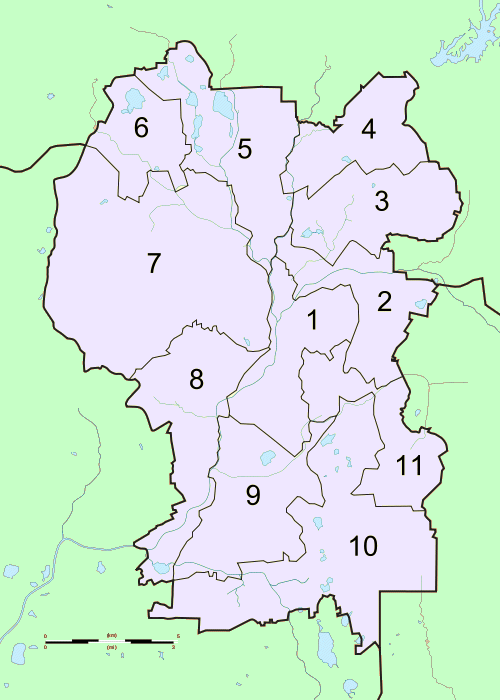
Map of Segambut
What to eat in Segambut
- Seafood Noodle at Restoran Yu Ai, recommended by Timothy Tye on 26 August, 2019
Eateries in Segambut
- Restoran Yu Ai (GPS: 3.184712, 101.676353, seafood noodle)
Taking public transport to Segambut
By Train:Segambutg is served by the Segambut Komuter Station.

The district of Segambut is number 7 on the map of Kuala Lumpur
 https://en.wikipedia.org/wiki/Kuala_Lumpur#/media/File:Kuala_Lumpur_constituencies_map.svg
 Mdzafri
360° View of Segambut on Google Maps Street View
Jalan Segambut, in Segambut, Kuala Lumpur.Back to Discover Kuala Lumpur; list of Administrative Divisions in Kuala Lumpur

Copyright © 2003-2025 Timothy Tye. All Rights Reserved.

 Go Back