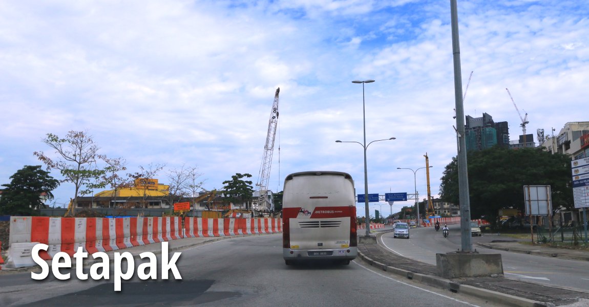
 Setapak, Kuala Lumpur (8 July, 2016)
Setapak (GPS: 3.18643, 101.70593) is a locality on the northern part of Kuala Lumpur. It is located within the administrative district of Setiawangsa, with Sentul to the west and Wangsa Maju to the north. The Setapak area was originally mining land. Setapak, which means "one footprint".
Map of Setapak, Kuala Lumpur
Sights in Setapak
- KL Festival City (GPS: 3.20431, 101.72056)

- Masjid Jami'ul Ehsan (GPS: 3.18794, 101.70254)

- P. Ramlee Memorial (GPS: 3.19491, 101.70811)

- Setapak Kuan Yin Temple (GPS: 3.18822, 101.70369)

- Wisma HRIH Lotus (GPS: 3.18551, 101.70144)

Residential properties in Setapak
- Residensi 100 (GPS: 3.19966, 101.7113)

Churches in Setapak
Amenities in Setapak
- Balai Polis Setapak (GPS: 3.19042, 101.70631)

- Setapak Post Office (GPS: 3.18967, 101.70548)

Housing estates in Setapak
- Kampung Baru Air Panas
- Setapak jaya
- Taman Ayer Panas
- Taman Megan Setapak
- Taman P. Ramlee
- Taman Setapak Permai
Setapak on Google Maps Street View
Back to Discover Kuala Lumpur; list of Neighbourhoods of Kuala Lumpur and Towns of Malaysia

Copyright © 2003-2025 Timothy Tye. All Rights Reserved.

 Go Back