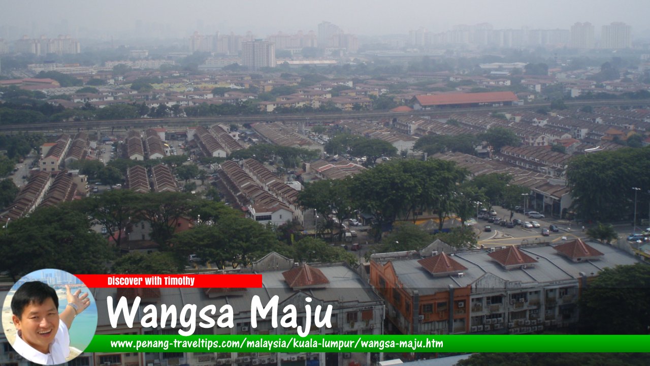
 Wangsa Maju, Kuala Lumpur
Chongkian, CC BY-SA 3.0, via Wikimedia Commons
Wangsa Maju (GPS: 3.20376, 101.73673) is a township in Kuala Lumpur. It is located roughly to the east of Setapak, west of Gombak District and north of Setiawangsa. Wangsa Maju is bordered by the Middle Ring Road 2 in the north and the Duta-Ulu Klang Expressway (E33) in the south. The new Setiawangsa-Pantai Expressway (E39) cuts through Wangsa Maju, elevated above Jalan 1/27a, Jalan Mohd Yatim Yahaya and Jalan Setiawangsa.
Map of Wangsa Maju
Shopping Malls in Wangsa Maju
Schools in Wangsa Maju
- Wangsa Maju Section 2 Secondary School
Churches in Wangsa Maju
- Shiloh Assembly of God
- Wangsa Maju Gospel Centre
Back to Discover Kuala Lumpur; list of Administrative Divisions in Kuala Lumpur

Copyright © 2003-2025 Timothy Tye. All Rights Reserved.

 Go Back