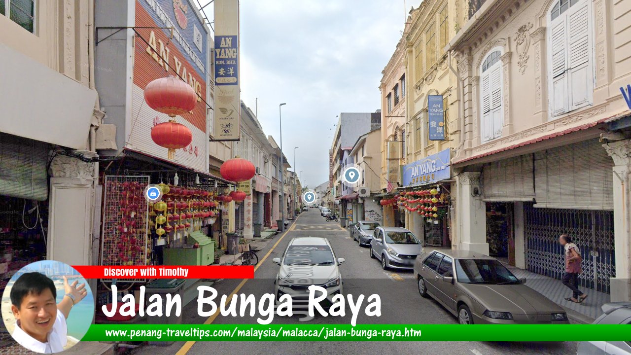
 Jalan Bunga Raya, Malacca
(Google Street View - Nov 2024)
Jalan Bunga Raya is one of the main road in Malacca. Today a one-way street, it runs from Jalan Kampung Pantai in the south to the intersection with Jalan Munshi Abdullah in the north, where it continues as Jalan Bunga Raya Pantai. In between, it branches to Jalan Jawa and Jalan Kee Ann. The road is one of the business streets in Malacca, with mostly Chinese businesses operating from shophouses on both sides of the road.
Jalan Bunga Raya is said to have existed for hundreds of years. The neighbourhood where the road goes through is also known as Bunga Raya. The area is believed to have already been inhabited even as early as the Malacca Sultanate period1, where it was settled by the Javanese people who made a living as fishermen. During the Portuguese period, there were orchards and coconut groves in the area. Then in the Dutch period, the Bunga Raya area was where bricks were made.
Map of Jalan Bunga Raya, Malacca
Jalan Bunga Raya on Google Street View
Jalan Bunga Raya (Nov 2024)References
1. The Star: A place with over 500 years of history (26 May, 2017)Discover Malacca; list of Streets in Malacca and Streets in Malaysia
 Map of Roads in Malacca
 Latest updates on Penang Travel Tips

Copyright © 2003-2025 Timothy Tye. All Rights Reserved.

 Go Back