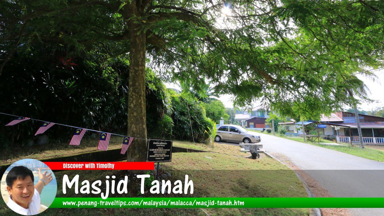
 Masjid Tanah, Malacca (16 September 2016)
Masjid Tanah (GPS: 2.35135, 102.10865) is a town in the Alor Gajah District, on the north western part of Malacca. The name Masjid Tanah means "earthen mosque", and probably referred to a mosque build of red soil that once stood there. Within its vicinity are several small villages including Kampung Tengah Masjid Tanah, Kampung Pinang, Kampung Bukit Beringin, Kampung Seri Tanjung, Kampung Solok Ayer Limau, Kampung Tengah, Taman Thamby Chik Karim, Kampung Solok Ayer Kelulut, Kampung Londang and Kampung Solok Kemang.
Map of Masjid Tanah, Melaka
Sights in Masjid Tanah
- Balai Polis Masjid Tanah (GPS: 2.35199, 102.10708)

- Dewan Japerun Lendu Masjid Tanah (GPS: 2.35162, 102.11306)

- Kompleks Falak Al-Khawarizmi (GPS: 2.29479, 102.08408)

- Pasaraya Family Store (GPS: 2.35156, 102.11399)

- Petronas Masjid Tanah (GPS: 2.34726, 102.11083)

- SK Datuk Tambichik Karim (GPS: 2.3466, 102.10634)

- SMK Ghafar Baba (GPS: 2.34742, 102.10529)

- SMK Sultan Alauddin (GPS: 2.3475, 102.10308)

- Taman Rekreasi Beringin (GPS: 2.35425, 102.09907)

Places in Masjid Tanah
- Pantai Pengkalan Balak (GPS: 2.3224, 102.06982)

- Tanjung Bidara (GPS: 2.29938, 102.07734)

Masjid Tanah is  on the Map of Towns in Malacca
Masjid Tanah on Google Maps Street View
Masjid Tanah town centre (Jun 2019)Discover Malacca; list of Towns in Malacca and Towns in Malaysia
 Map of Roads in Malacca
 Latest updates on Penang Travel Tips

Copyright © 2003-2025 Timothy Tye. All Rights Reserved.

 Go Back