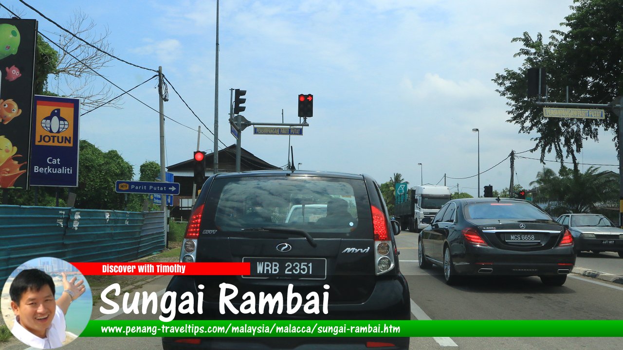
 Sungai Rambai, Malacca (16 September 2016)
Sungai Rambai is the southernmost town of Malacca. It is at the crossing of Sungai Kesang on the border with Johor. The administrative town is also called Rambai. The town is near Merlimau and Pekan Batu Gajah. The only place of note in the area is the Merlimau Forest Reserve located at the coast, at the estuary of Sungai Kesang.
Map of Sungai Rambai, Malacca
Sights in Sungai Rambai
- Cai Hock Keng Temple (GPS: 2.12548, 102.49501)

- Makam Tok Kepau (GPS: 2.12465, 102.50051)

- Masjid As-Sholihin (GPS: 2.12331, 102.46838)

- Masjid As-Syakirin (GPS: 2.12434, 102.49223)

- Petronas Sungai Rambai (GPS: 2.12497, 102.49272)

- SMK Sungai Rambai (GPS: 2.12951, 102.49256)

- Sungai Rambai Methodist Church (GPS: 2.12524, 102.49561)

Visiting Sungai Rambai
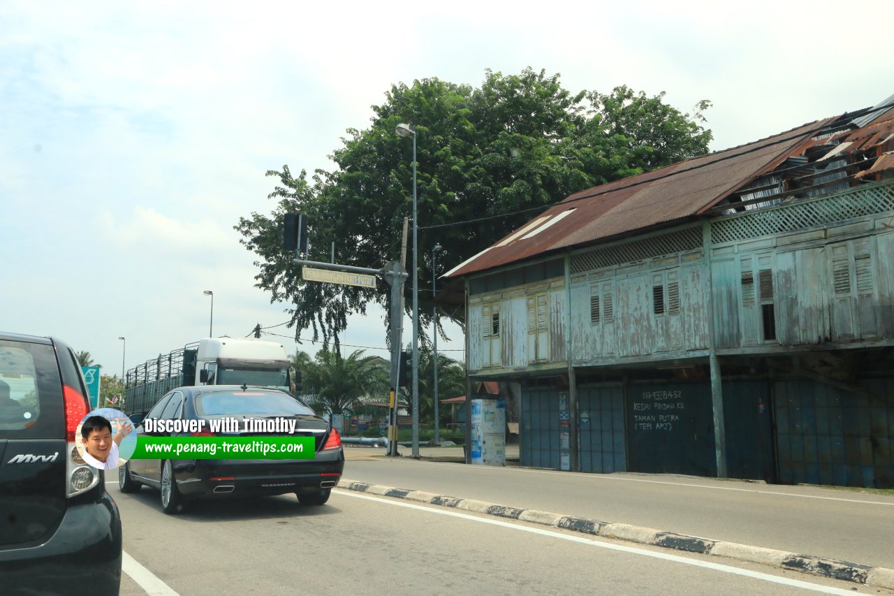
Take the Alor Gajah-Jasin-Muar Highway (Lebuhraya AJM) from Malacca Town heading west. Persimpangan Parit Putat, Sungai Rambai (16 September 2016)
Sungai Rambai is  on the Map of Towns in Malacca
Discover Malacca; list of Towns in Malacca and Towns in Malaysia
 Map of Roads in Malacca
 Latest updates on Penang Travel Tips

Copyright © 2003-2025 Timothy Tye. All Rights Reserved.

 Go Back