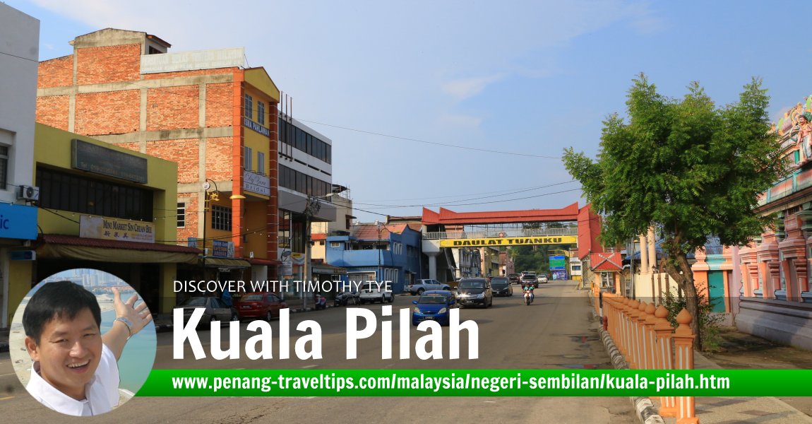
 Kuala Pilah Travel Tips (9 July, 2016)
Kuala Pilah (GPS: 2.73944, 102.24915) is a small town as well as district in Negeri Sembilan. Kuala Pilah District is one of the seven districts of Negri Sembilan, and is the site of the royal town, Seri Menanti.
Kuala Pilah was founded by the Minangkabau, a Malay ethnic group that migranted to settle in the Kuala Pilah area in Negri Sembilan. The area has a high population of Orang Asli.
There are two main roads in Kuala Pilah. They are Jalan Dato Undang Johol (formerly Lister Road) and Jalan Raja Melewar. These two roads form a junction near Medan Selera Kuala Pilah.
Kuala Pilah is a well known site for megaliths. There are a number of places where you can find these clusters of standing stones which were erected during prehistoric times. According to historians, the stones may be related to the local fertility rites to ensure good harvest for the local community. Compare them with the Pengkalan Kempas Megalith. Among the places where you can look for megaliths include Kampung Gunung Pasir (app. GPS: 2.662, 102.16588
 ) and Kampung Pauh Terachi (GPS: 2.74654, 102.14155
  )
)
Map of Kuala Pilah
Places of Interest in Kuala Pilah
- Agro Bank (GPS: 2.73851, 102.24796; Phone: +60-6-481 1251)

- Giant Superstore (GPS: 2.7371, 102.21764)

- Gurdwara Sahib Kuala Pilah (GPS: 2.73807, 102.2478)

- Hospital Tuanku Ampuan Najihah Kuala Pilah (GPS: 2.73486, 102.23313)

- Hutan Lipur Ulu Bendul (GPS: 2.73045, 102.07823)

- Kuala Pilah District Police Headquarters / Ibu Pejabat Polis Daerah Kuala Pilah (GPS: 2.73685, 102.22178)

- Kuala Pilah District Council Office/Pejabat Majlis Daerah Kuala Pilah (GPS: 2.73837, 102.24724)

- Lister Memorial Arch (GPS: 2.74175, 102.24847)

- Makam Tuan Tulis (GPS: 2.74812, 102.18038)

- Medan Selera Kuala Pilah (GPS: 2.74812, 102.18038)

- Masjid Jamek Yamtuan Raden (GPS: 2.74292, 102.24862)

- Muzium Diraja Istana Sri Menanti (GPS: 2.69763, 102.15778)

- RHB Bank Kuala Pilah (GPS: 2.7384, 102.24752; phone: 1-300-88-8742)

- Sim Tong Temple (GPS: 2.74177, 102.24876)

- Sri Kanthasamy Temple (GPS: 2.73817, 102.24745)

- Wisma Pahlawan (GPS: 2.73848, 102.24779)

Food stalls in Kuala Pilah
- Itik Salai Terachi (GPS: 2.74459, 102.1391)

Mukims (counties) of Kuala Pilah
The district of Kuala Pilah is subdivided into 11 mukims, or counties, as listed below:- Ampang Tinggi
- Johol
- Juasseh
- Kepis
- Langkap
- Parit Tinggi
- Pilah
- Seri Menanti (GPS: 2.69795, 102.16023)

- Terachi (GPS: 2.74407, 102.15705)

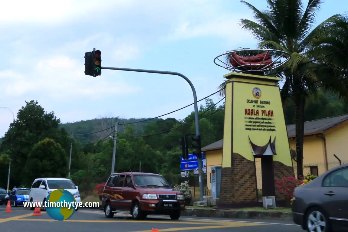 Signboard welcoming visitors to Kuala Pilah District (9 July, 2016)
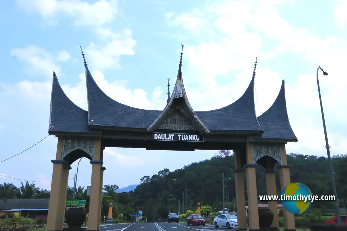 Arch in Kuala Pilah (9 July, 2016)
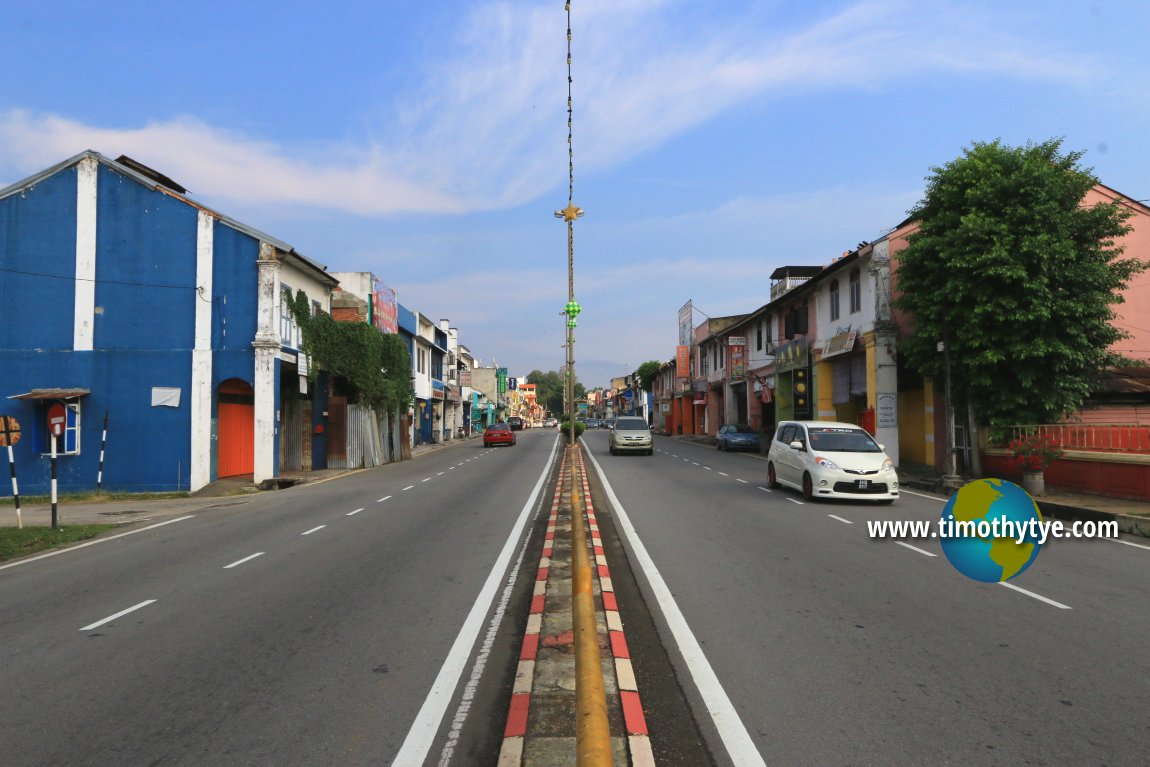 Jalan Dato Undang Johol, Kuala Pilah (9 July, 2016)
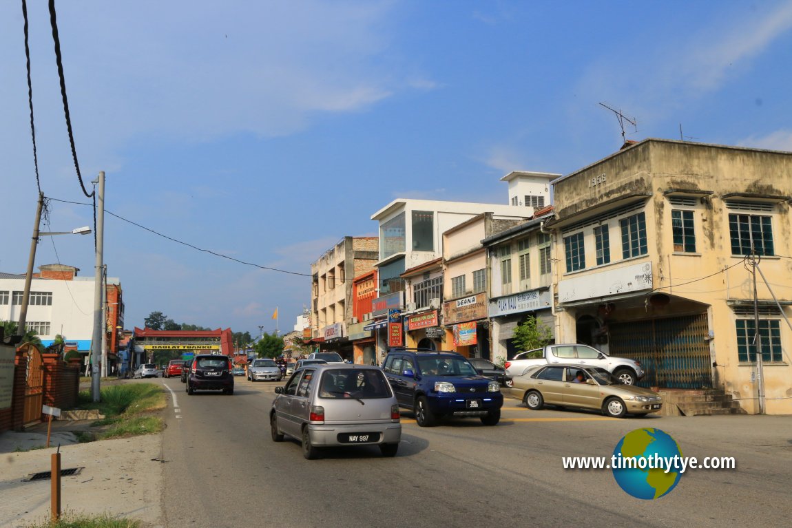 Jalan Raja Melewar, Kuala Pilah (9 July, 2016)
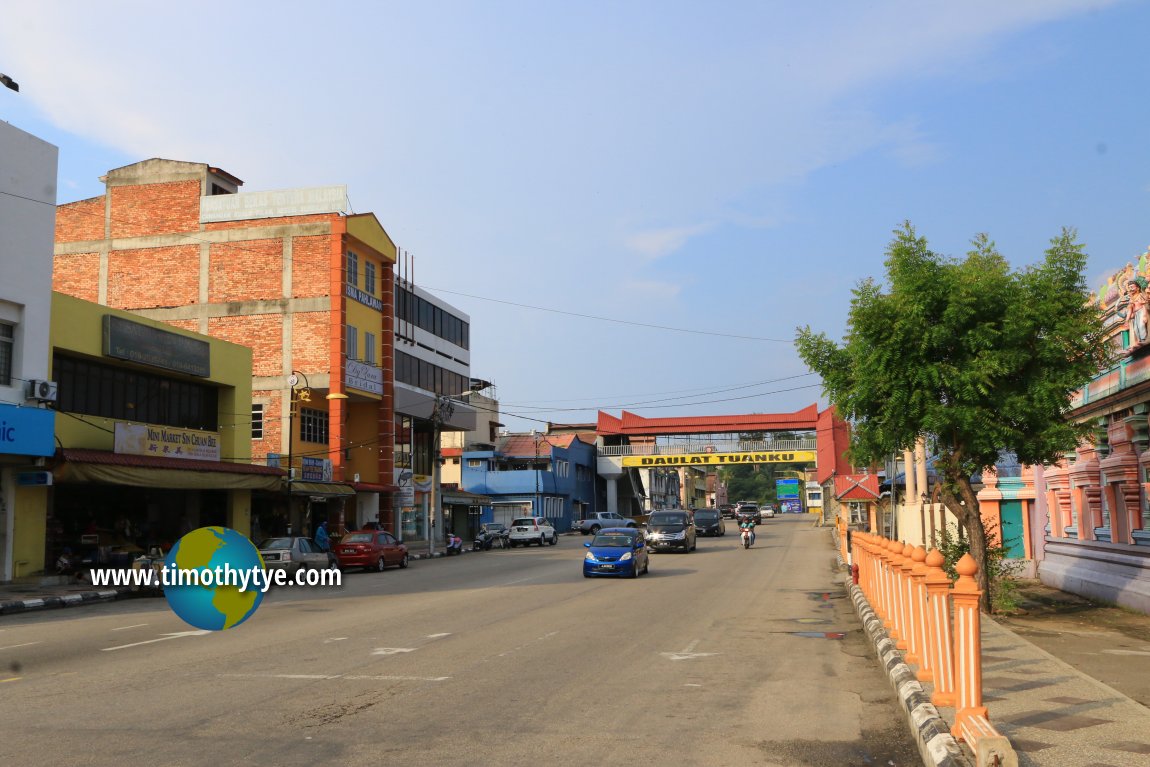 Another view of Jalan Raja Melewar. (9 July, 2016)
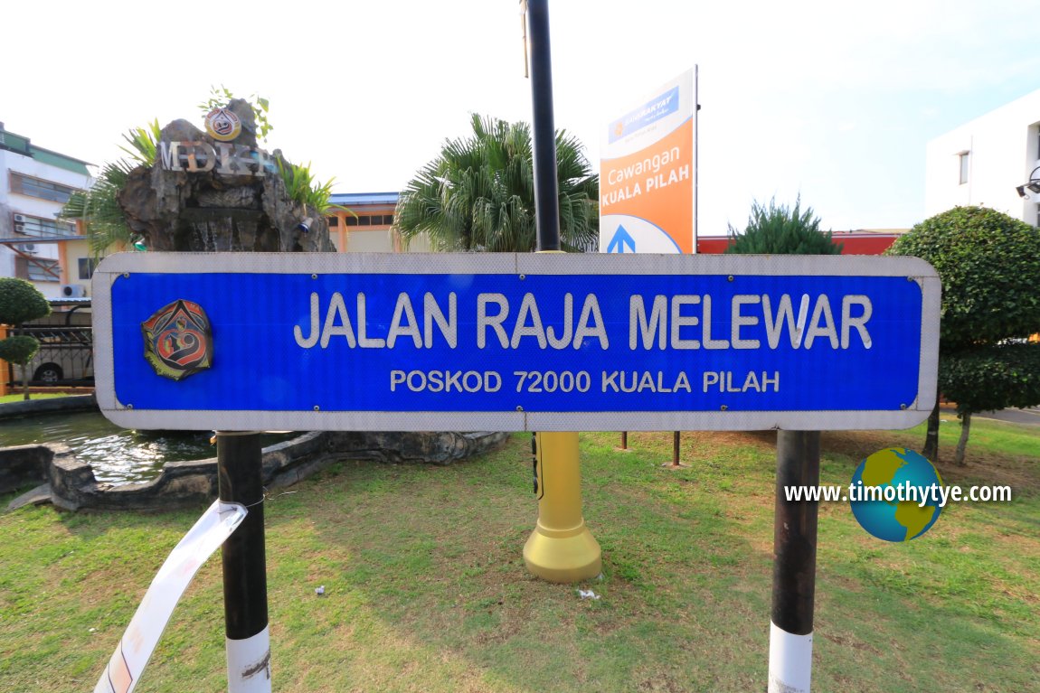 Jalan Raja Melewar road sign (9 July, 2016)
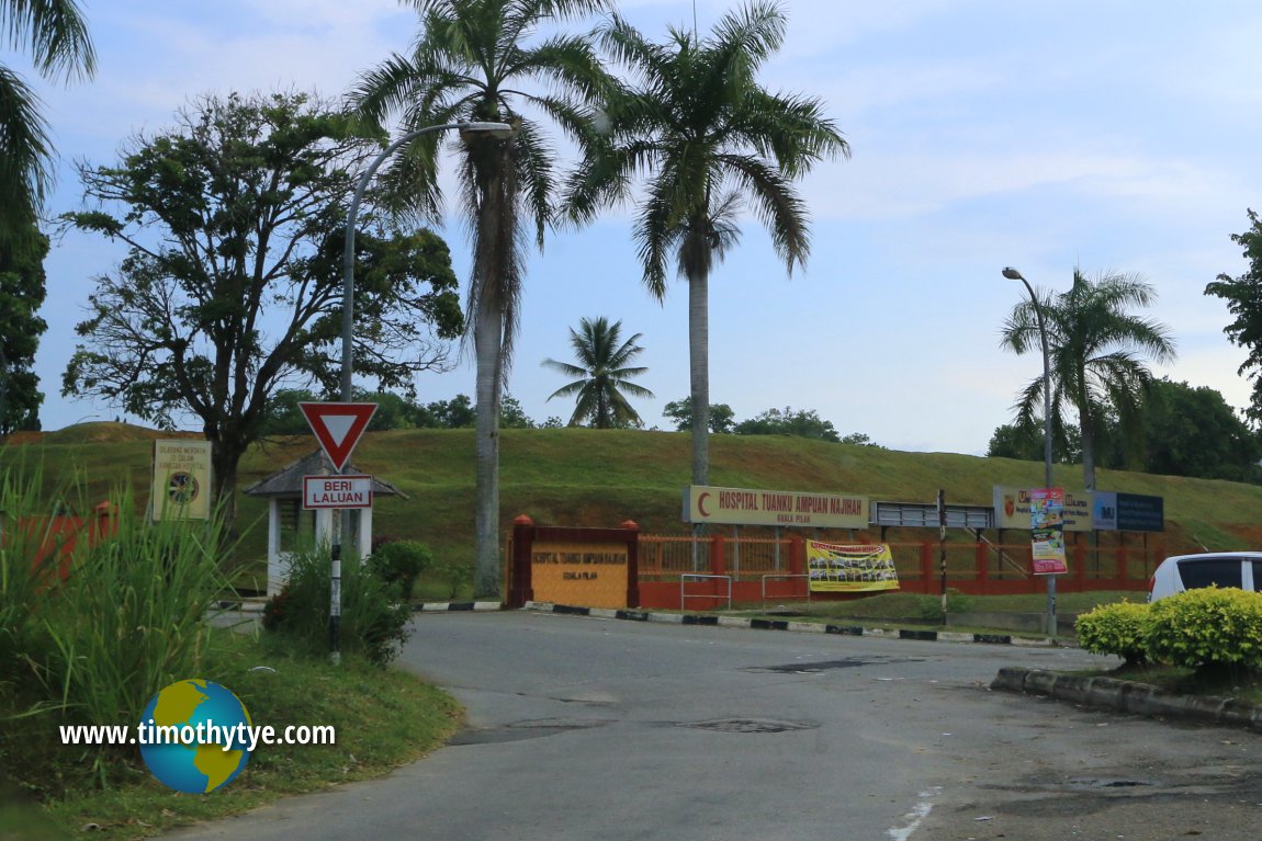 Hospital Tuanku Ampuan Najihah, Kuala Pilah (9 July, 2016)
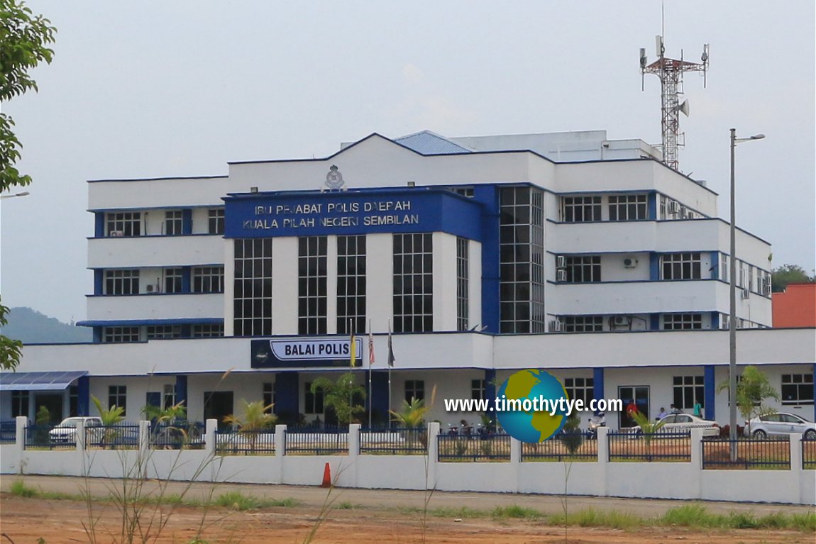 Ibu Pejabat Polis Daerah Kuala Pilah (9 July, 2016)
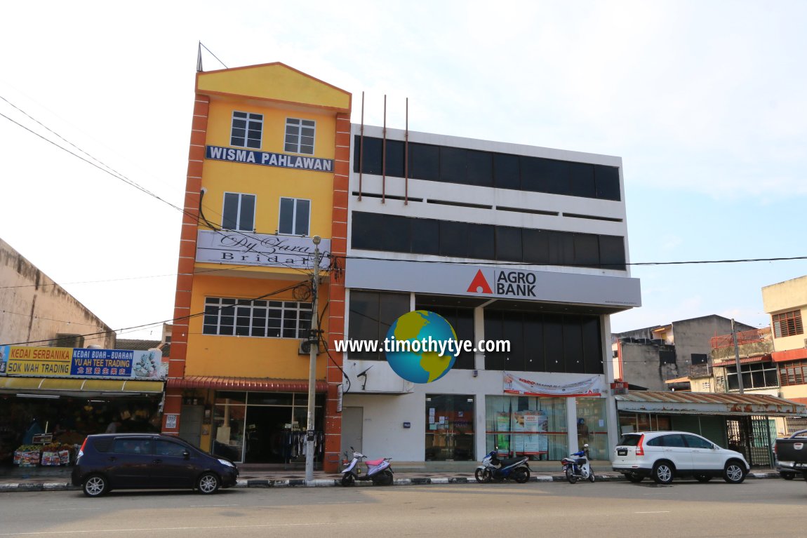 Wisma Pahlawan and Agro Bank in Kuala Pilah (9 July, 2016)
Administration of Kuala Pilah
The Kuala Pilah District Council is the local authority for both the town of Kuala Pilah and its surrounding district. The district office at at Jalan Raja Melewar.Pejabat Majlis Daerah Kuala Pilah
72009 Kuala Pilah,
Negeri Sembilan.
Phone: +60-6-481 4025
Web: www.mdkp.gov.my
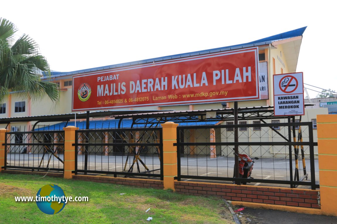 Pejabat Majlis Daerah Kuala Pilah (9 July, 2016)
Kuala Pilah is  on the Map of Towns in Negeri Sembilan
Back to Discover Negeri Sembilan mainpage; list of Towns in Negeri Sembilan and Towns in Malaysia
 Latest updates on Penang Travel Tips

Copyright © 2003-2025 Timothy Tye. All Rights Reserved.

 Go Back