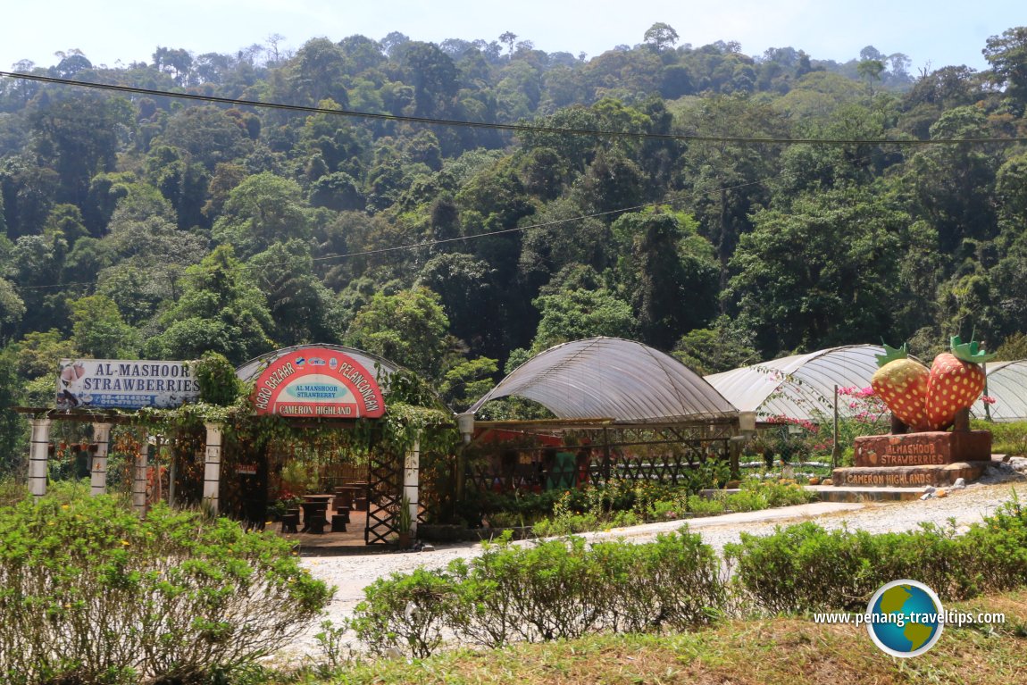
 Kuala Terla (GPS: 4.54673, 101.41608) is a small town in Cameron Highlands. It is located between Kampung Raja in the north and Tringkap in the south. The town is located along Sungai Telum.
Map of sights in Kuala Terla, Cameron Highlands
360° View of Kuala Terla on Google Maps Street View
Kuala TerlaLocal sights in Kuala Terla
Kuala Terla is  on the Map of Towns in Cameron Highlands
Back to Cameron Highlands, Pahang mainpage; list of Towns in Cameron Highlands, Towns in Pahang and Towns in Malaysia
 Latest updates on Penang Travel Tips
About this website

Dear visitor, thank you so much for reading this page. My name is Timothy Tye and my hobby is to find out about places, write about them and share the information with you on this website. I have been writing this site since 5 January 2003. Originally (from 2003 until 2009, the site was called AsiaExplorers. I changed the name to Penang Travel Tips in 2009, even though I describe more than just Penang but everywhere I go (I often need to tell people that "Penang Travel Tips" is not just information about Penang, but information written in Penang), especially places in Malaysia and Singapore, and in all the years since 2003, I have described over 20,000 places.
While I try my best to provide you information as accurate as I can get it to be, I do apologize for any errors and for outdated information which I am unaware. Nevertheless, I hope that what I have described here will be useful to you.
To get to know me better, do follow me on Facebook!
Copyright © 2003-2025 Timothy Tye. All Rights Reserved.

 Go Back


