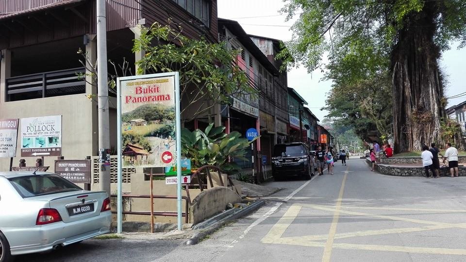
 Sungai Lembing, Pahang
© Schoy Loklok
Sungai Lembing (GPS: 3.91426, 103.03012; Chinese: 林明, Pinyin: Língmíng) is a small town in Pahang. Despite its name, it is actually located along Sungai Kenau, which is a tributary of Sungai Kuantan. Located some 42 km to the northwest of Kuantan, the settlement got its name because, based on legend, the local ruler saw a spear jutting out of the river (probably Sungai Kenau), so this Arthurian legend gave the site its name, which means "speared river".
The Sungai Lembing area is rich in tin deposit and has been a site for small-scale tin mining going back to time immemorial. During the British administration, particularly in the 1880s, when demand for tin soared, the Sungai Lembing area became the site of large-scale underground tin mining. Mining in the area was managed by the Pahang Consolidated Company Limited, PCCL, which handled the underground tin mining in Sungai Lembing from 1906 until it ceased operations in 1986, following the collapse in world tin prices. By then, the area had some 322 kilometers of mining tunnels, reaching to a depth of 700 meters. This was the largest and deepest underground tin mine in the world.
Map of Sungai Lembing, Pahang
Places of Interest in and around Sungai Lembing
- Bukit Panorama (GPS: 3.91574, 103.03652)

- Gua Charas (GPS: 3.91073, 103.14763)

- Gunung Tapis (GPS: 4.01256, 102.90996)

- Hutan Lipur Sungai Pandan (GPS: 3.79642, 103.13364)

- Sungai Lembing Museum (GPS: 3.91374, 103.03237)

Towns and Villages near Sungai Lembing
- Kuala Kenau
- Panching (GPS: 3.89499, 103.14295)

360° View of Sungai Lembing on Google Maps Street View
Jalan Sungai Lembing, the main road in the area.
Remnants of the old mining factory in Sungai Lembing.
Location of Sungai Lembing on map
References
- Wikipedia: https://en.wikipedia.org/wiki/Sungai_Lembing
Back to Discover Pahang mainpage; list of Towns in Pahang and Towns in Malaysia
 Latest updates on Penang Travel Tips

Copyright © 2003-2025 Timothy Tye. All Rights Reserved.

 Go Back