Gua Kandu (GPS: 4.44893, 101.17356) is a cave system in the vicinity of Gopeng in the Kinta Valley. Located within a karst outcrop beside the North South Expressway, about half an hour from Gua Tempurung, the cave was used by the Japanese during the Second World War. Later, it was taken over by Communist guerillas as their hideout during the Emergency.
Today Gua Kandu is open to casual explorers. A private company is managing all the spelunking trips into the cave, in the company of guides. Visitors to the cave have to be prepared to do a bit of hiking. The entrance of the cave is through a steep climb. The ceiling of the cave is about 35 ft (11 meters) from the floor. It has stalagtites hanging down, looking like pieces of ceiling board.
To fully explore Gua Kandu, you will need over two hours. There are places where you have to crawl through, as the ceiling is just a few feet tall. Some parts of the cave appear to be a circular cavern, so if you aren't careful, you could end up going in circles.
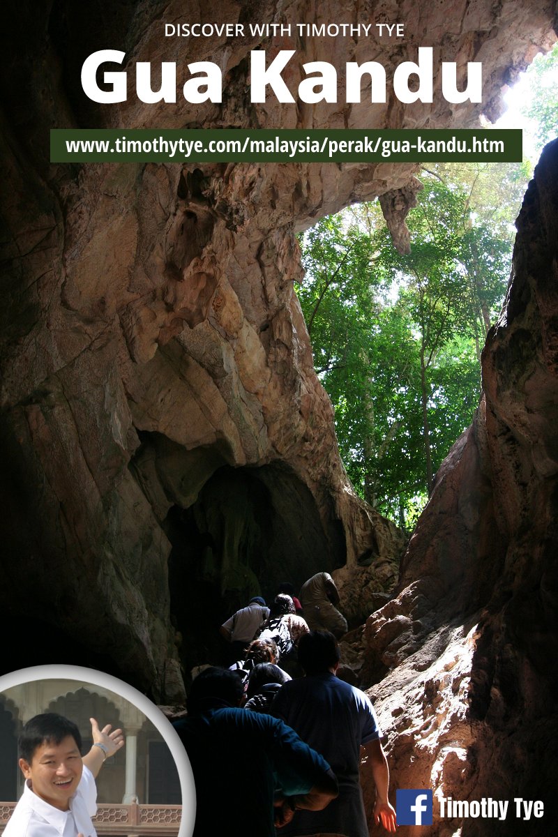 Gua Kandu (23 January, 2011)
Unlike Gua Tempurung, the inside of Gua Kandu is not lit, so you need to bring your own torch. In places, ropes have been installed to help in climbing the steep sections. It is advisable that you bring along a change of clothes as you will be quite dirty after your climb through Gua Kandu.
As with most caves, you can expect numerous rock formation that resembles beasts and humans. Your guide will tell you their names as you encounter them.
In most parts of the cave, you will unfortunately encounter quite a bit of graffiti left behind by people who should not be born with hands. It is a reflection of the low civic-mindedness of early visitors. Now that the caves have been privatized, at least there are guides stationed there to warn against leaving graffiti.
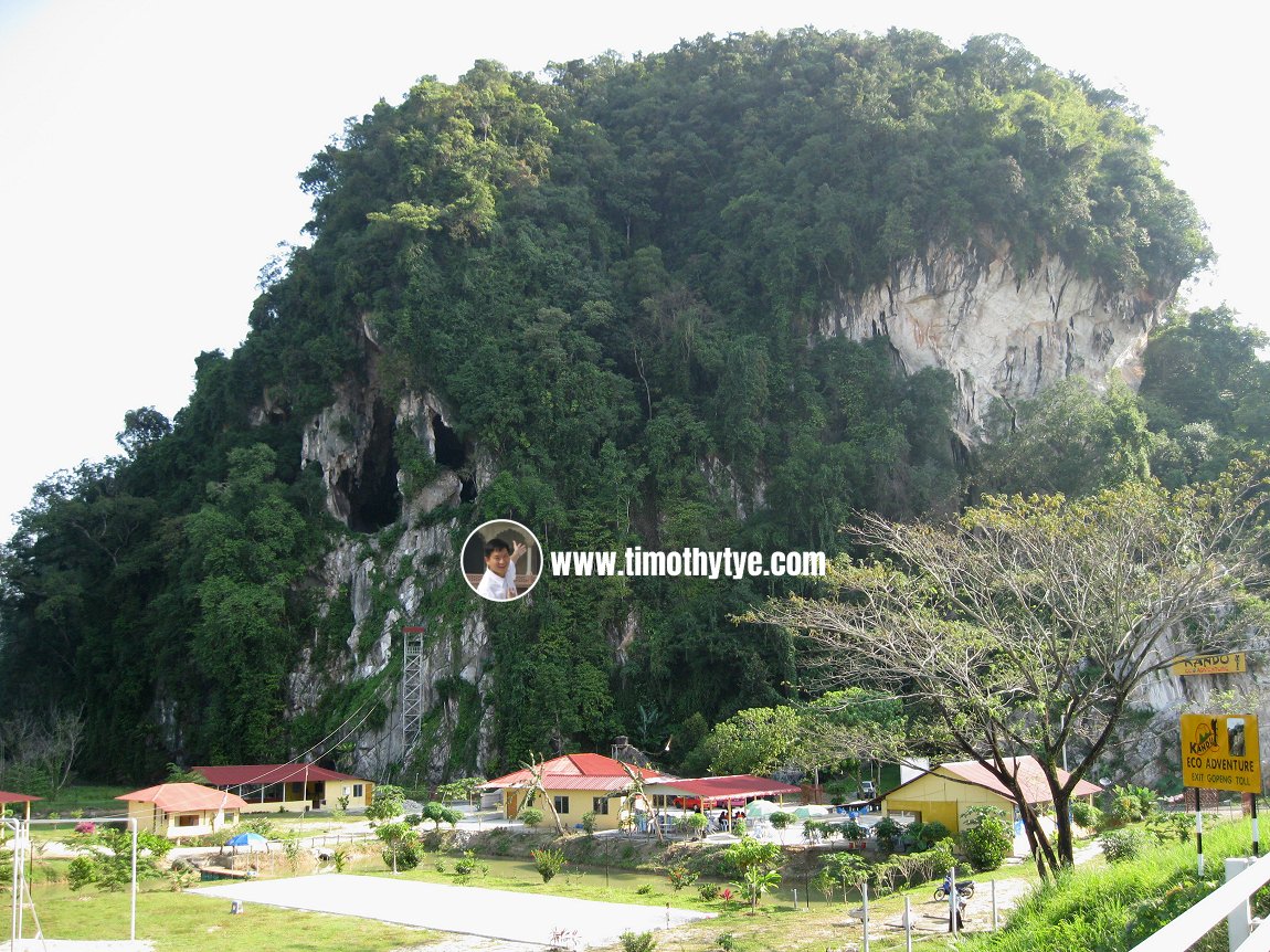 View of Gua Kandu, with the karst outcrop, from afar. (23 January, 2011)
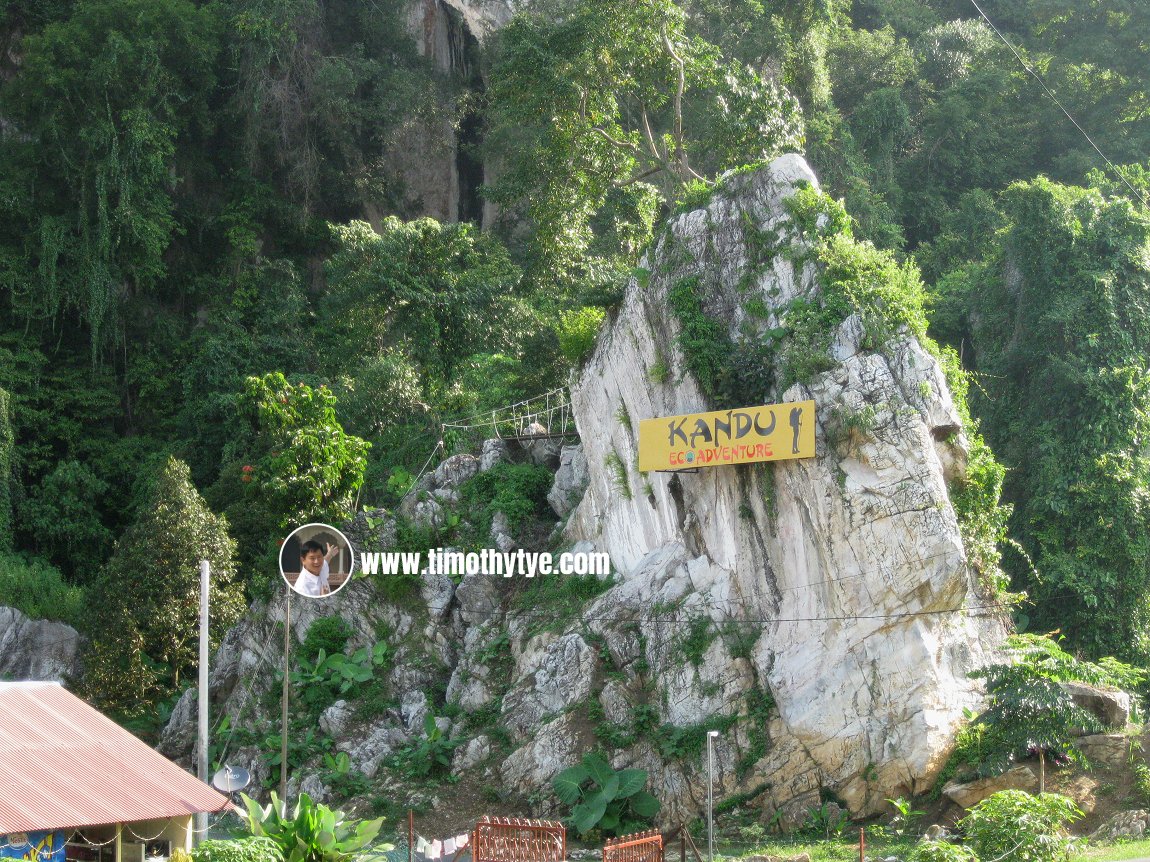 Signage for Gua Kandu (23 January, 2011)
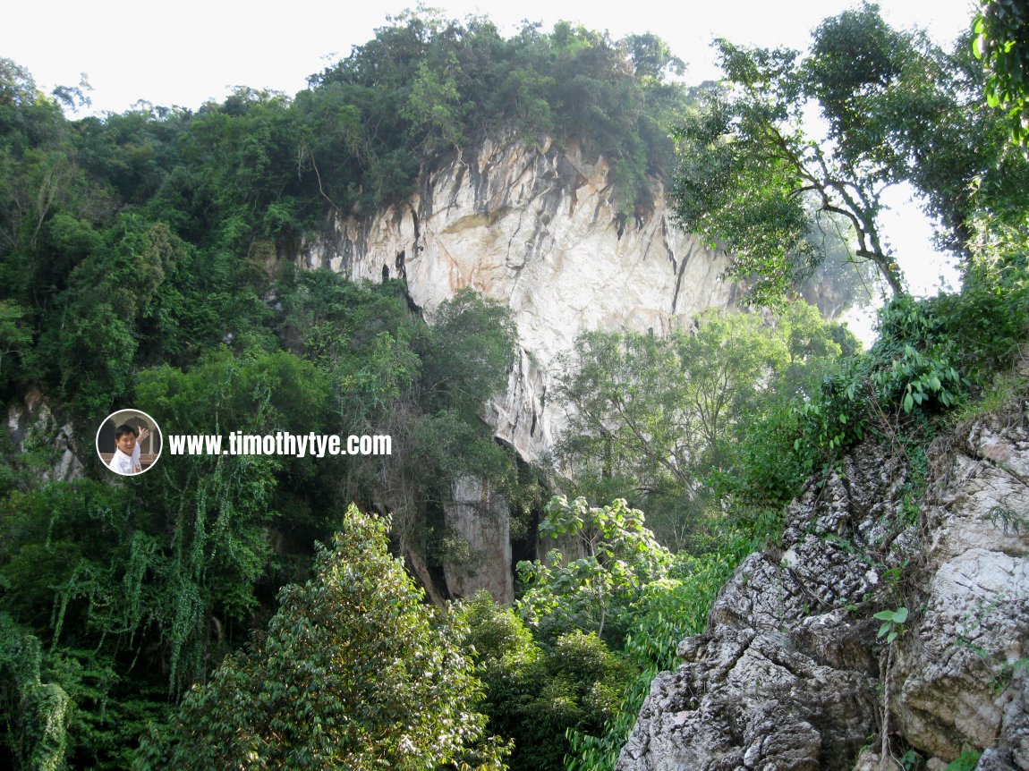 Approaching Gua Kandu (23 January, 2011)
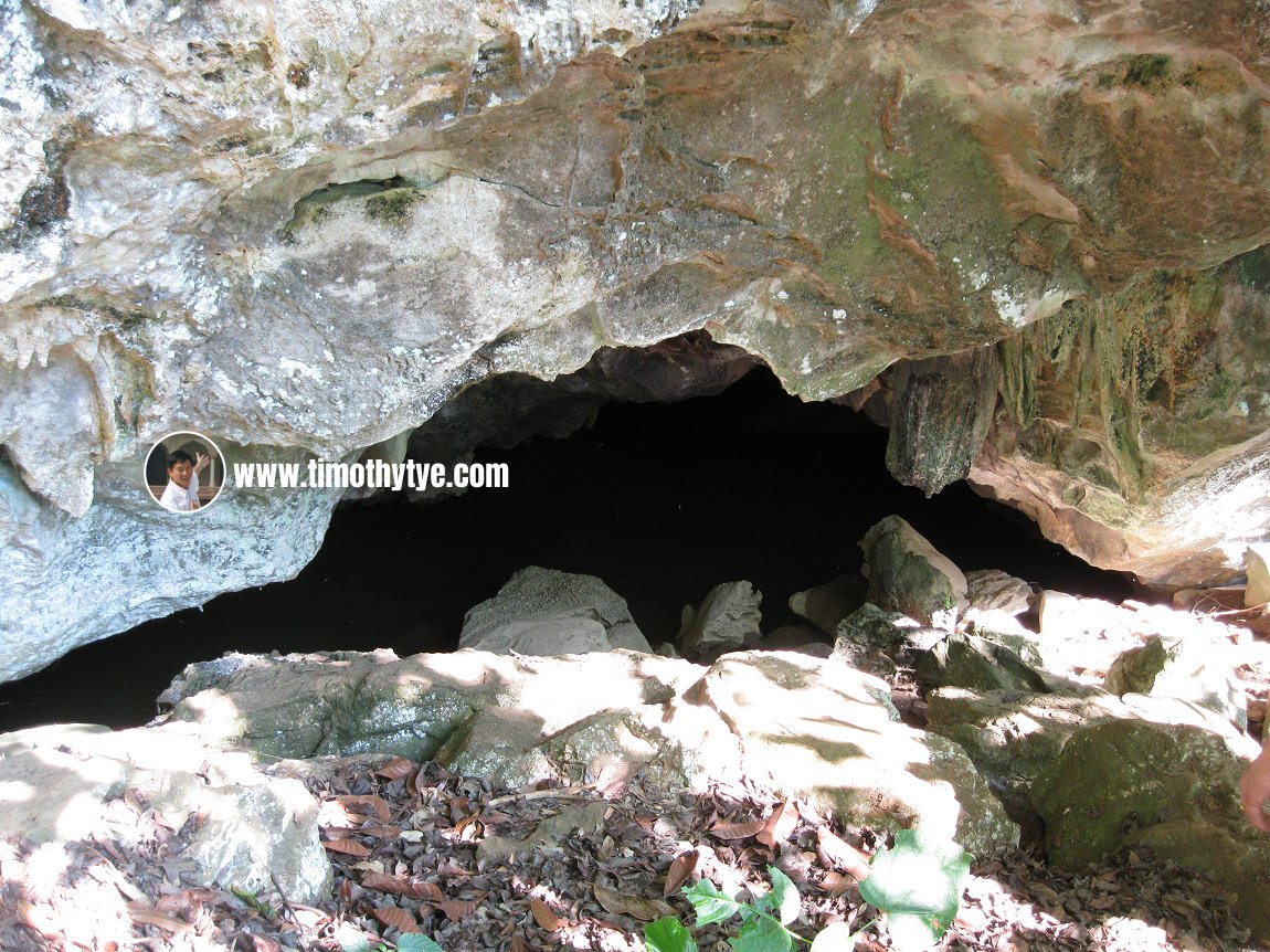 The mouth of Gua Kandu (23 January, 2011)
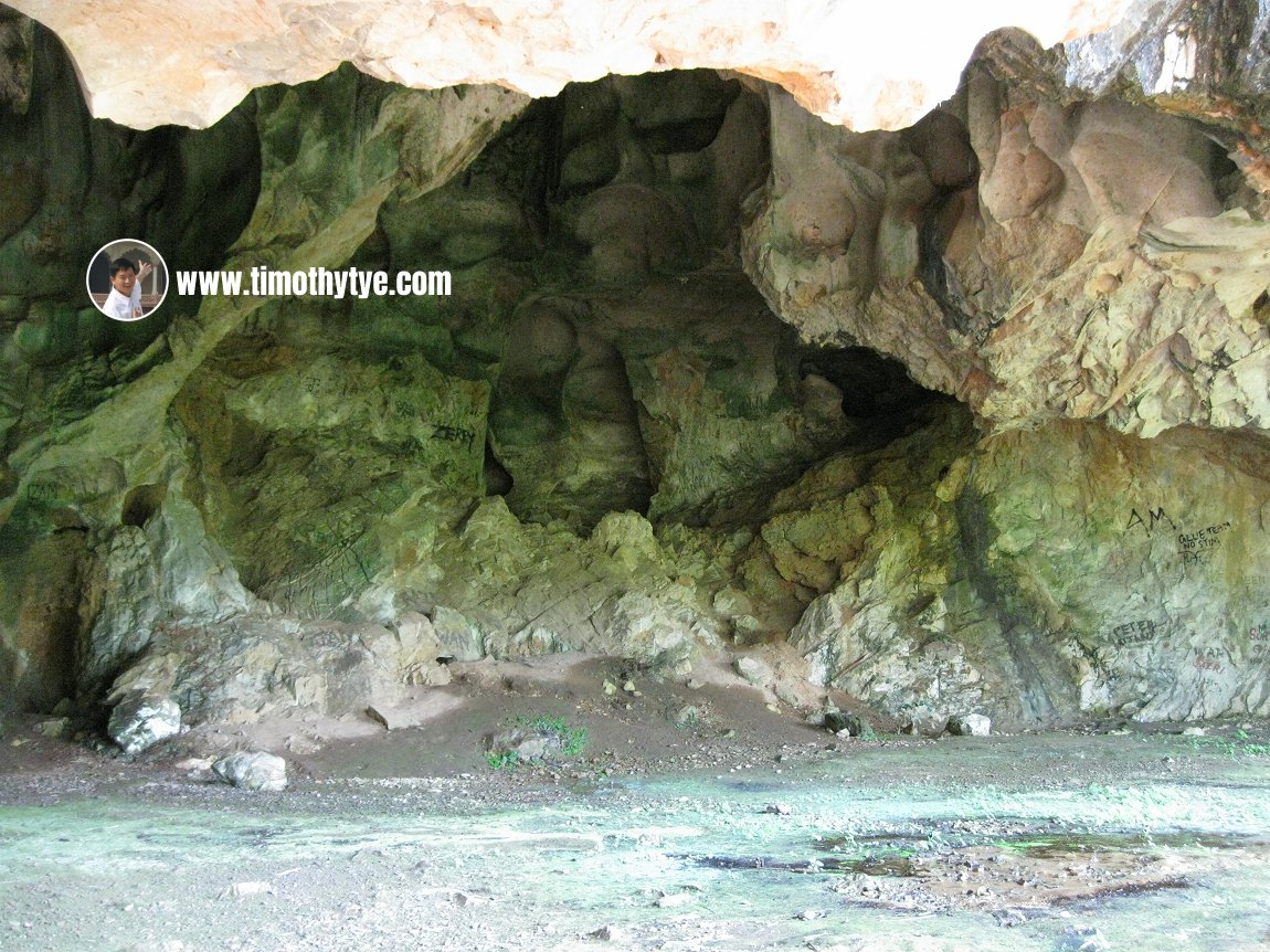 Entrance of Gua Kandu (23 January, 2011)
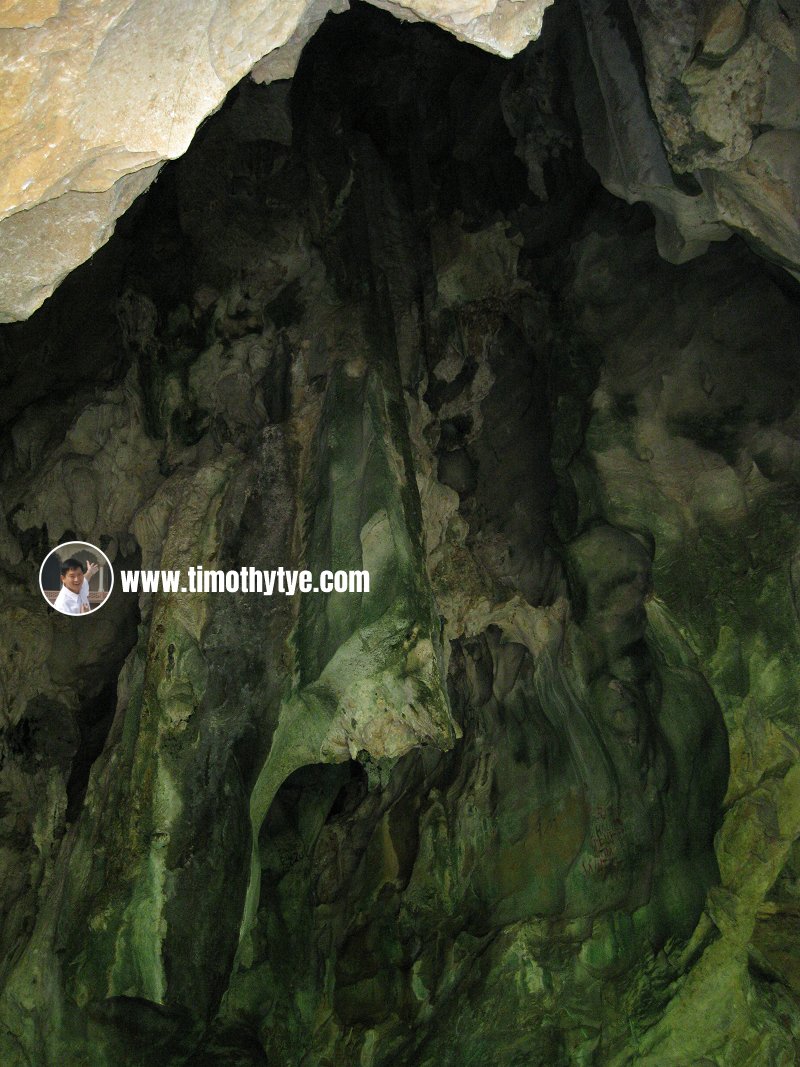 Rock wall at entrance of Gua Kandu (23 January, 2011)
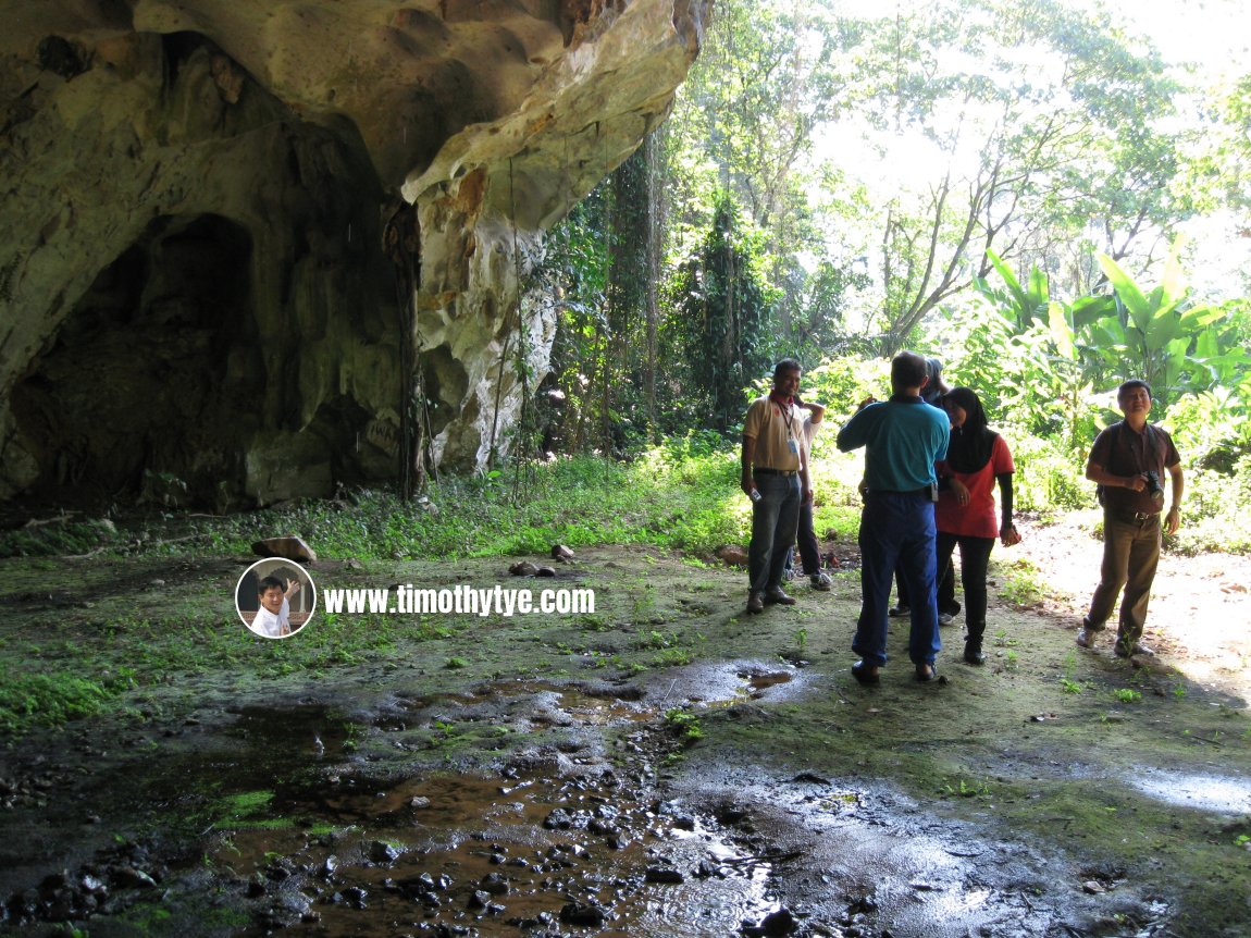 Visitors getting ready to enter Gua Kandu (23 January, 2011)
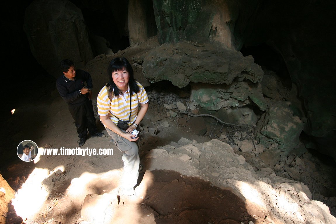 My wife at Gua Kandu (23 January, 2011)
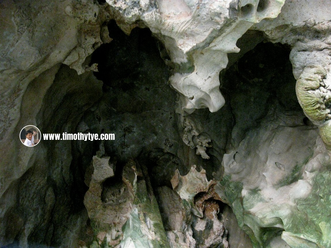 Rock formation at entrance of Gua Kandu (23 January, 2011)
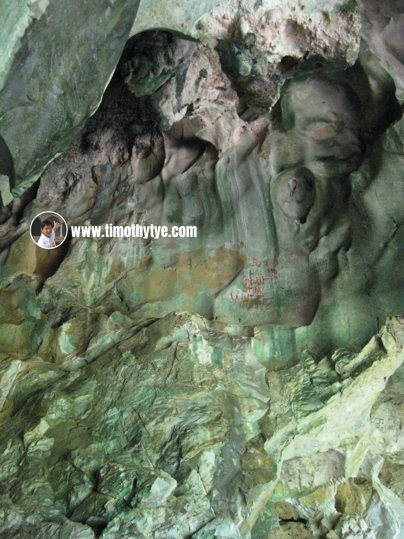 Graffiti at Gua Kandu, Perak (23 January, 2011)
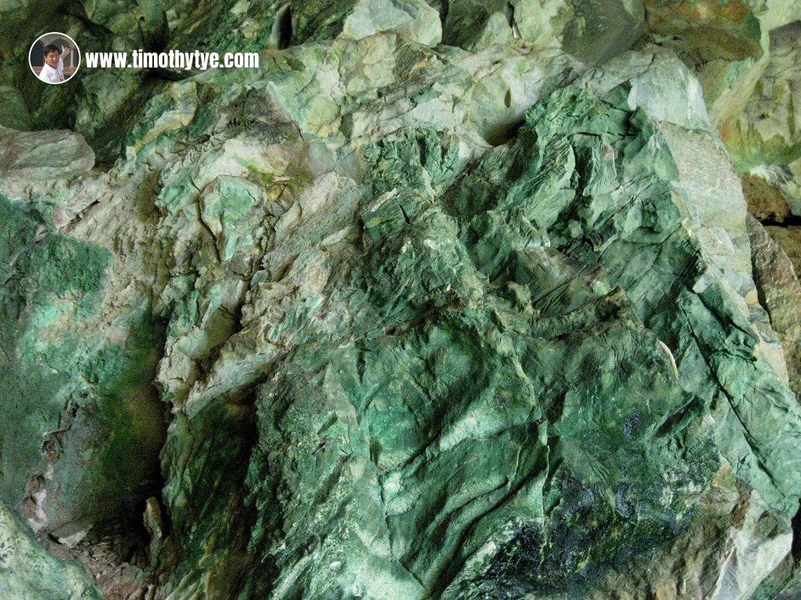 Rock surface at Gua Kandu is greenish in colour, due probably to copper oxidation. (23 January, 2011)
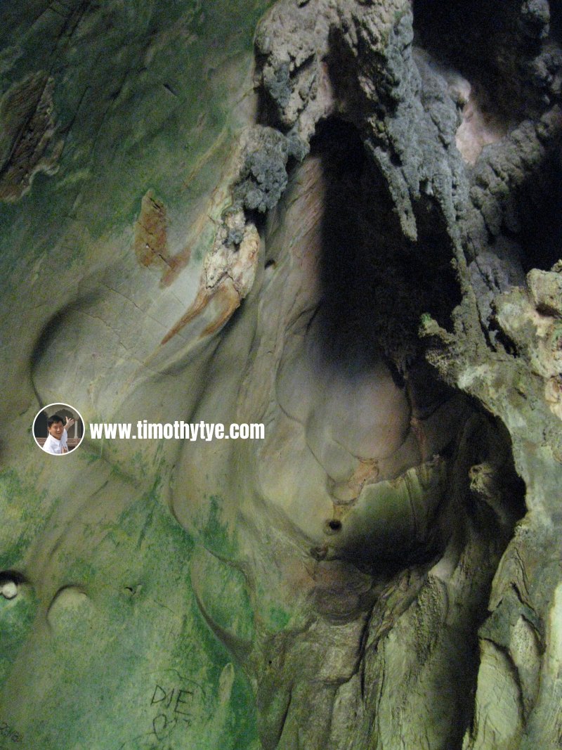 Soaring formation at Gua Kandu (23 January, 2011)
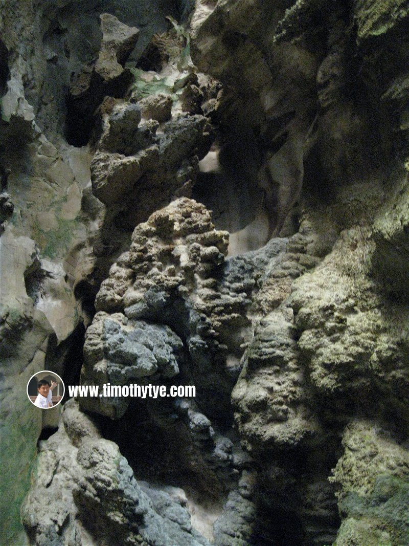 The stalagmites at Gua Kandu (23 January, 2011)
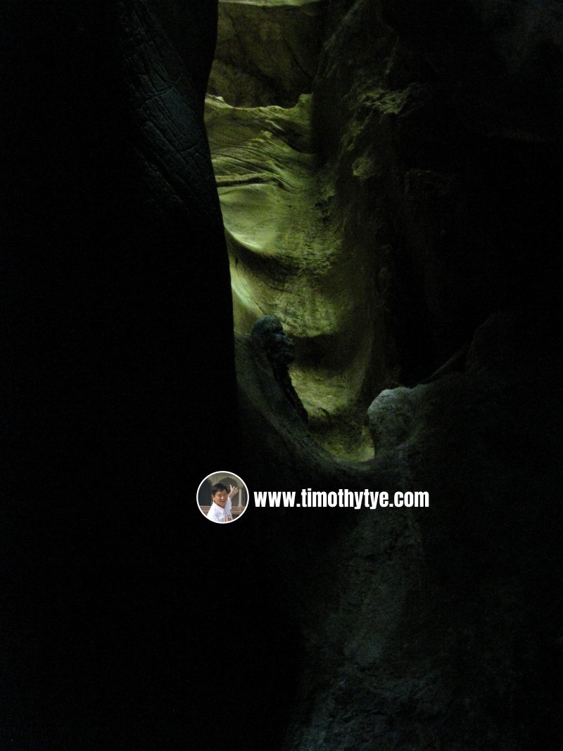 Light shining into Gua Kandu illuminates the inside of the cave. (23 January, 2011)
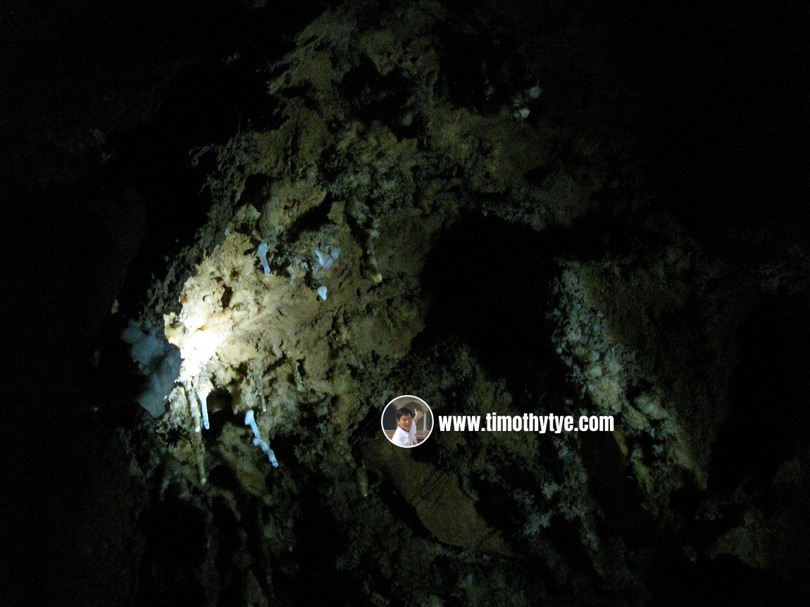 View of stalactites at the ceiling of Gua Kandu (23 January, 2011)
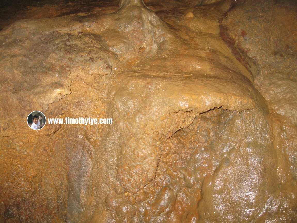 This is how the rock formation of Gua Kandu looks like when illuminated (23 January, 2011)
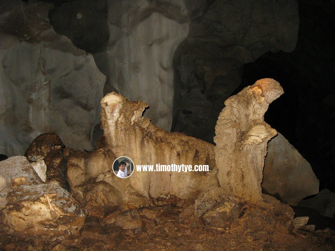 Rock formations in Gua Kandu that look like a bull and Mary with Child (23 January, 2011)
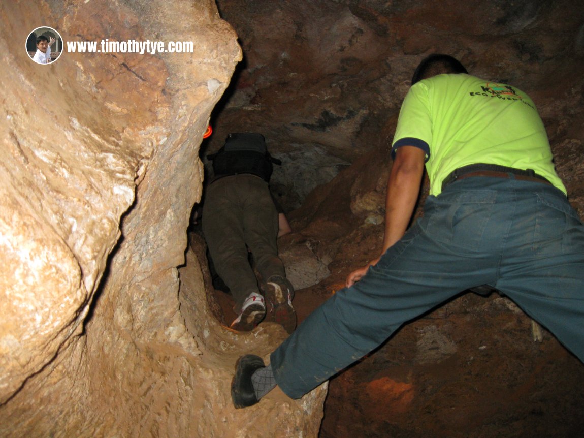 Spelunking in Gua Kandu (23 January, 2011)
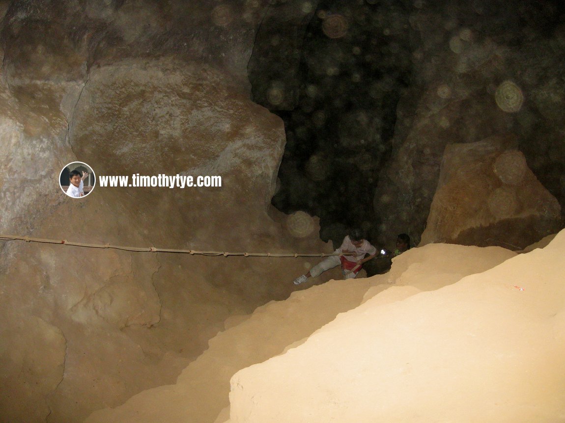 Climbing up the cliff inside Gua Kandu with rope (23 January, 2011)
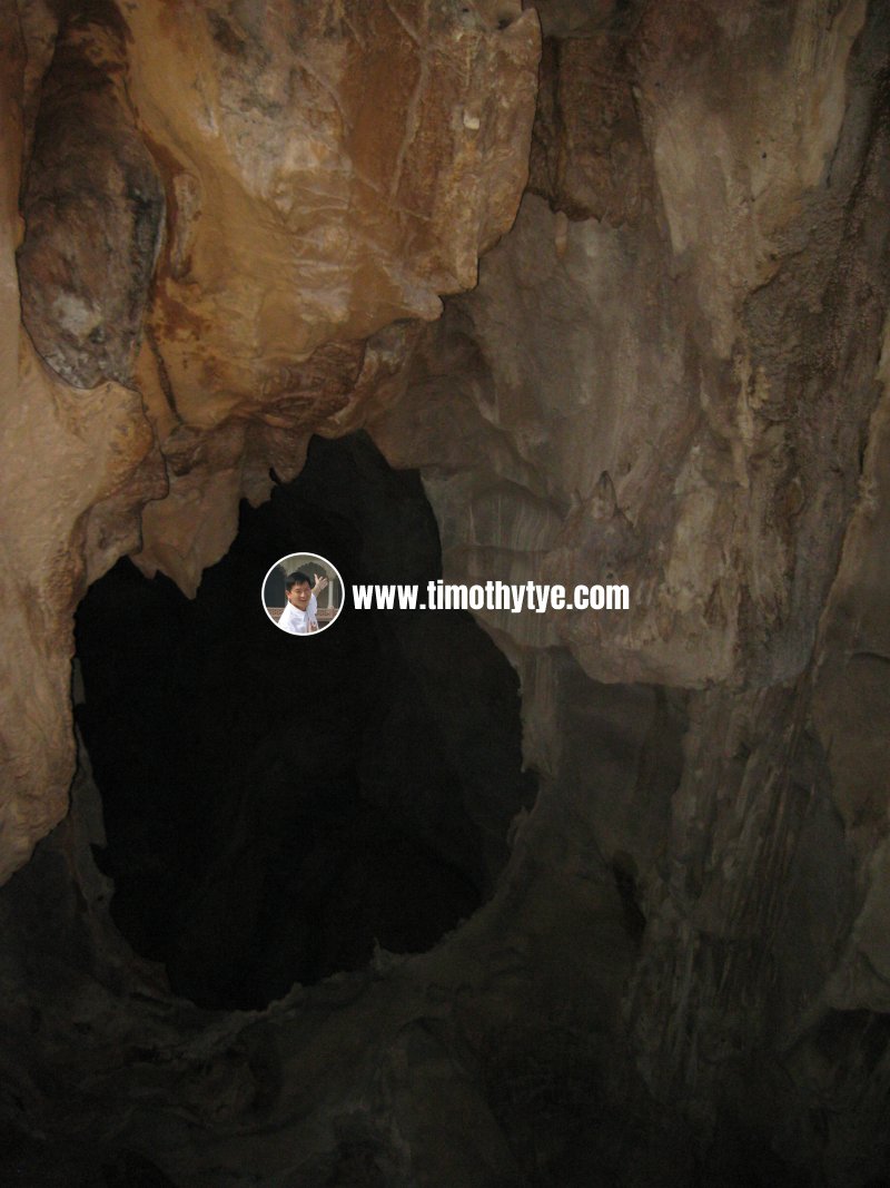 Dark tunnel inside Gua Kandu (23 January, 2011)
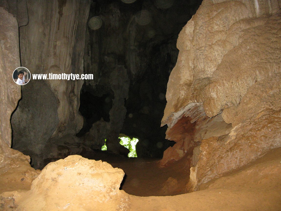 Opening at the end of Gua Kandu (23 January, 2011)
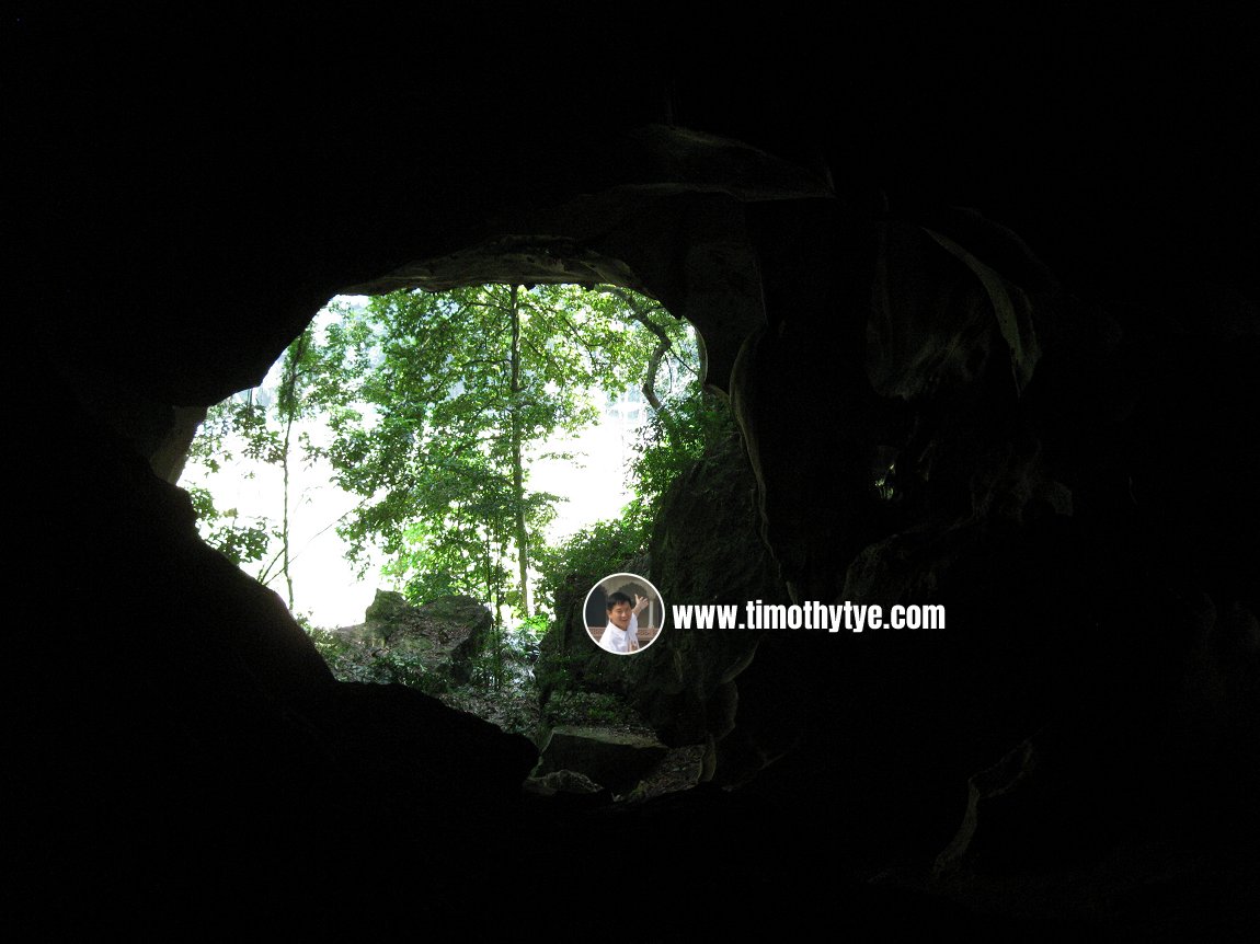 Nearing the opening of Gua Kandu, we could see the forest trees outside. (23 January, 2011)
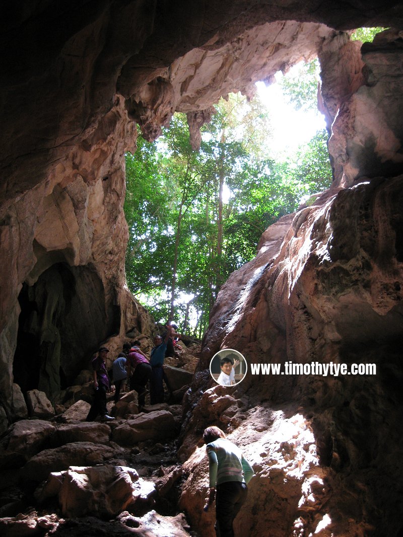 Climbing out of Gua Kandu (23 January, 2011)
Gua Kandu on Google Street View
The karst outcrop as seen from the North-South ExpresswayHow to go to Gua Kandu
Exit the North South Expressway Northern Route at the Gopeng Interchange (Exit 135) to the junction with Federal Route 1. Turn south on Federal Route 1. Stop your vehicle at the signboard that says "Selamat Datang - Kawasan DUN Tualang Sekah".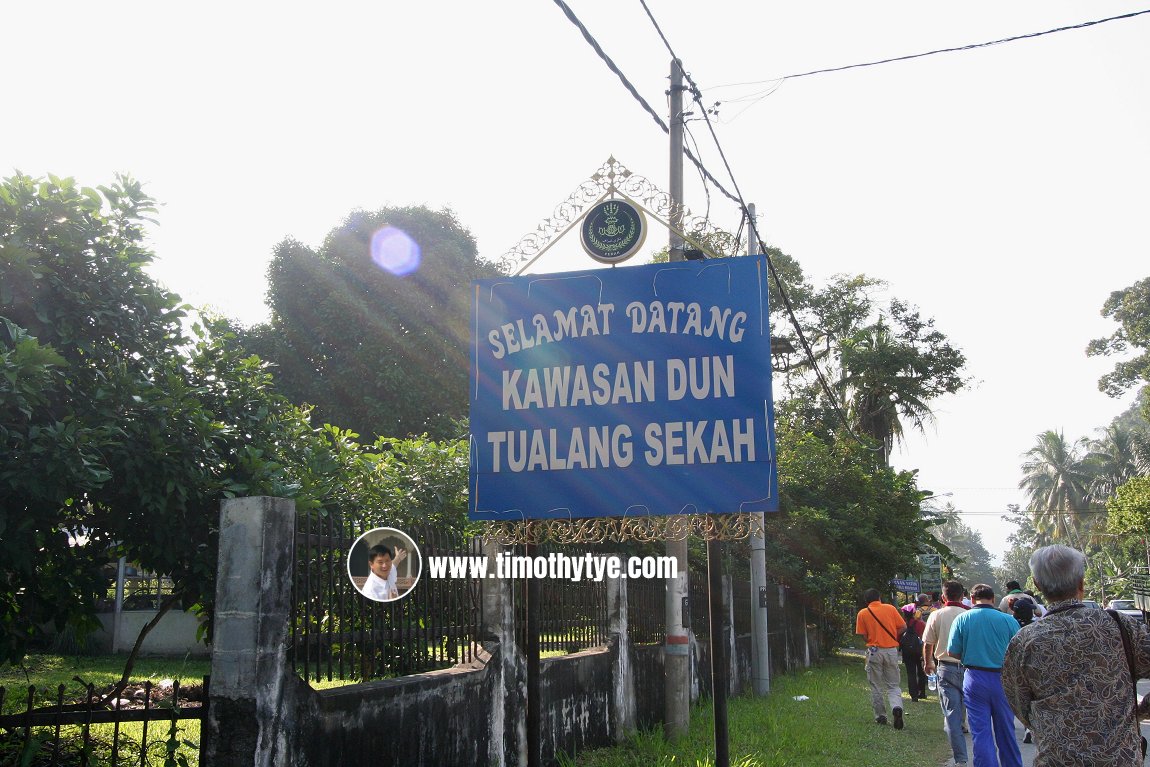 Signboard of Tualang Sekah (23 January 2011)
Turn in to a country road. There is a signboard here for Rumah Rehat & Murni Camp. The country road crosses the North South Expressway. Then you will see Gua Kandu on your left. There is a sign here saying "Entrance to Gua Kandu".
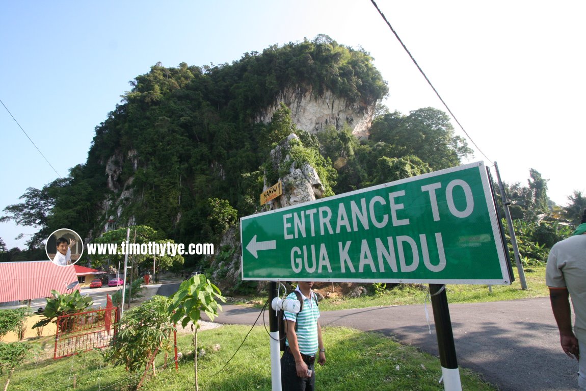 Entrance to Gua Kandu (23 January 2011)
Gua Kandu is  on the map of Gopeng
Gua Kandu is  on the map of Caves in Malaysia
Contact
If you are keen to explore Gua Kandu, please contact the site operator.Kandu Eco Adventure
Lot 9176 Gunung Mesah Hulu, Jalan Jahang
31600 Gopeng, Perak
Contact Person:
Mohd Marzuki: 019 510 1253
Norhayati Yusoff: 019 480 1253
Back to Discover Perak mainpage; list of Caves in Perak and Caves in Malaysia
 Latest updates on Penang Travel Tips

Copyright © 2003-2025 Timothy Tye. All Rights Reserved.

 Go Back