 Lata Ulu Chepor, Chemor (31 July 2019)
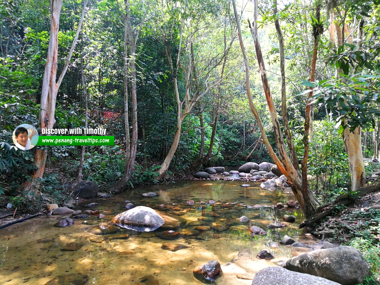
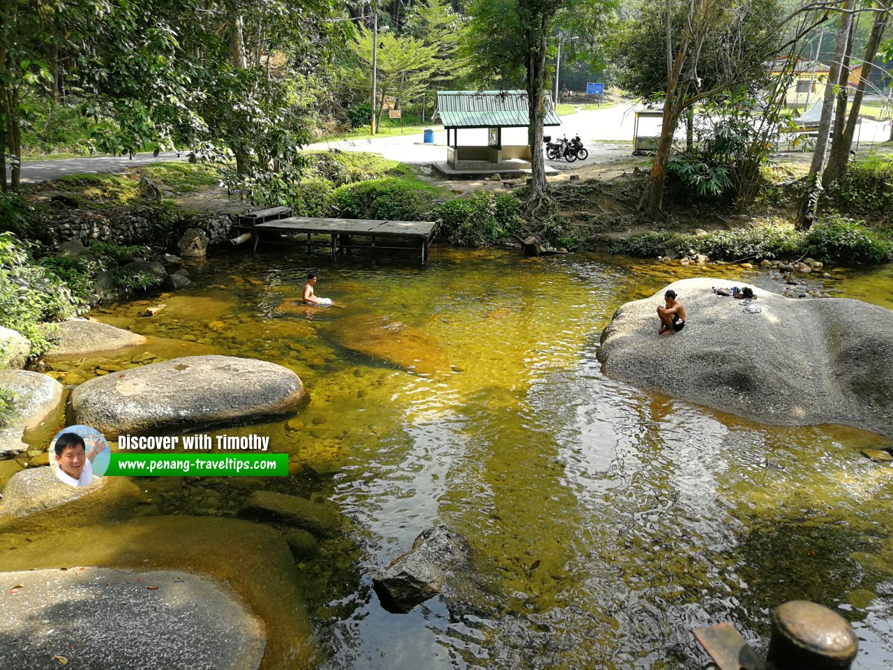
Lata Ulu Chepor (GPS: 4.70043, 101.07731) is a forest recreation park in Chemor, near Ipoh, Perak. It is located on the eastern edge of the Keledang mountain range, approximately 16km to the north of the Ipoh city centre. The name Lata Ulu Chepor refers to the series of rapids on Sungei Chepor, near the village of Kampung Ulu Chepor.
Sungai Chepor has its source at Gunung Peninjau, which at 1,058m is the highest peak on the Keledang range. The river flows down a steep slope through a V-shape valley for some 4km before entering Sungai Pari which itself is a tributary to Sungai Kinta. There are a number of waterfalls on Sungai Chepor. Recreational sites in the downstream of the river are managed by the Kampung Ulu Chepor Resident Association whereas the sites upstream are managed by the Perak State Forestry Department.
The village of Kampung Ulu Chepor is now about 200 years old. Its founding is traced to tin mining activities on Sungai Pari. The village has a speciality, which is pitcher plant glutinous rice made by the locals.
Lata Ulu Chepor is  on the Map of Chemor, Perak
Lata Ulu Chepor is  on the Map of Ipoh, Perak
 Lata Ulu Chepor, Chemor (31 July 2019)
 Lata Ulu Chepor, Chemor (31 July 2019)
 Lata Ulu Chepor, Chemor (31 July 2019)
 Lata Ulu Chepor, Chemor (31 July 2019)
 Lata Ulu Chepor, Chemor (31 July 2019)
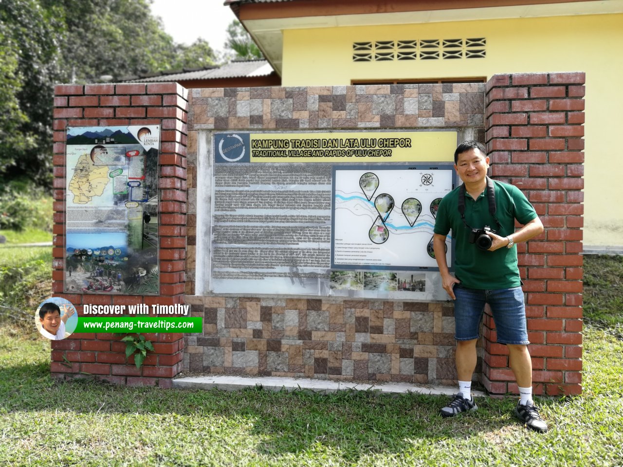
 Here I am, standing at the signboard of Lata Ulu Chepor (31 July 2019)
Lata Ulu Chepor on Google Street View
Lata Ulu Chepor, Ipoh (Mar 2020)Back to Discover Ipoh, Perak
 Latest updates on Penang Travel Tips
 Ipoh Sight Index
 Streets of Ipoh
 Map of Ipoh, Perak
 Discover with Timothy Ipoh Videos
Where to go, what to see when in Ipoh? Here are some suggestions with my videos!
Copyright © 2003-2025 Timothy Tye. All Rights Reserved.

 Go Back