 Sabah Travel Tips
[an error occurred while processing this directive]
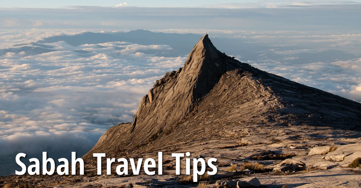
 Sabah Travel Tips
 https://commons.wikimedia.org/wiki/Category:Mount_Kinabalu#/media/File:Subsidiary_peak,_Mount_Kinabalu.jpg
 Peripitus
B. Melayu
Sabah Travel Tips provides you the details to discover Sabah, the Malaysian state on the northern part of the island of Borneo. It shares a border with East Kalimantan, Indonesia, in the south, and with the state of Sarawak to the southwest. The state is 72,500 sq km (28,000 sq mi), making it the second largest state in the country. It has a population of 3.54 million people.
Major Towns in Sabah
- Kota Kinabalu (GPS: 5.980057, 116.073611)

- Beaufort (GPS: 5.34511, 115.74511)

- Kota Belud (GPS: 6.35324, 116.42787)

- Kota Marudu (GPS: 6.49582, 116.76096)

- Kudat (GPS: 6.88684, 116.82531)

- Lahad Datu (GPS: 5.0242, 118.33074)

- Penampang (GPS: 5.86337, 116.26013)

- Sandakan (GPS: 5.83944, 118.11717)

- Semporna (GPS: 4.47939, 118.61154)

- Tanjung Aru (GPS: 5.9534, 116.05499)

- Tawau (GPS: 4.24465, 117.89118)

- Tuaran (GPS: 6.17626, 116.23279)

Categories of sights in Sabah
- TOWNS IN SABAH
- Airports in Sabah
- Caves in Sabah
- Chinese temples in Sabah
- Churches in Sabah
- Commercial Properties in Sabah
- Golf courses in Sabah
- Historic buildings in Sabah
- Markets in Sabah
- Mosques in Sabah
- Mountains in Sabah
- Museums in Sabah
- National Parks in Sabah
- Rivers in Sabah
- Shopping malls in Sabah
- Spas in Sabah
- Tourist attractions in Sabah
Major Tourist Attractions of Sabah
National Parks in Sabah
Marine Parks in Sabah
Divisions of Sabah
Forest Reserves, Wildlife Sanctuaries & Natural Sites in Sabah
- Bidu Bidu Forest Reserve
- Danum Valley Conservation Area
- Gomantong Caves
- Kinabatangan River
- Kuala Penyu
- Labuk Bay Proboscis Monkey Sanctuary
- Long Pasia
- Madai Baturong Recreational Forest
- Madai Caves
- Maliau Basin Conservation Area
- Rafflesia Forest Reserve
- Sungai Klias Wetlands
- Tabin Wildlife Reserve
- Ulu Kalumpang Forest Reserve
Island Off in Sabah
- Kapalai Lampaki
- Pulau Balambangan
- Pulau Banggi
- Pulau Layang-Layang
- Mabul Mataking
- Pulau Sipadan
History of Sabah
Sabah was originally part of the Sultanate of Borneo since the 16th century. In 1658, the Sultan of Brunei ceded northeast Borneo to the Sultanate of Sulu as compensation for helping to put down a civil war. In the 18th century, the land that was to become Sabah passed from the Sultan of Sulu into private hands. Various individuals attempted to set up a trading post in Sabah but failed.Kudat was made the capital of Sabah by the British North Borneo Company. Then in 1883, the capital shifted to Sandakan, which was rich in timber. Even after Sabah - then known as British North Borneo - was made a British protectorate, administration and control remains with the British North Borneo Company until 1942. Apart from the rebellion staged by the Suluk-Bajau leader Mat Salleh from 1894 to 1900, the administration was largely peaceful.
Sabah was occupied by the Japanese during the Second World War. The Japanese landed in Sabah through Labuan, on 1 January, 1942, and proceeded to invade the whole of Sabah. Allied bombing devastated many towns, with Sandakan totally razed to the ground. Two unsuccessful resistance to Japanese Occupation was led by Albert Kwok and Panglima Alli, who were both detained and executed. The Petagas War Memorial is build at the site of the execution.
After Second World War, the British returned to Sabah and made it a British Crown Colony. Jesselton was chosen as the capital in place of Sandakan. The British continued to rule Sabah until 1963. The original intention was for Sabah to join a newly formed Malaysia on 31 August, but due to objections from the Philippines and Indonesia, the formation of Malaysia was delayed to 16 September, 1963.

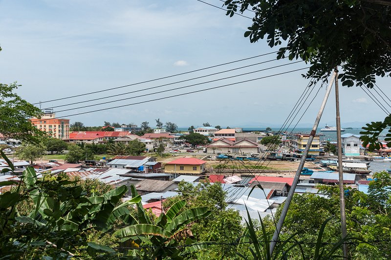
Kudat, Sabah
 https://commons.wikimedia.org/wiki/Category:Kudat#mediaviewer/File:Kudat_Sabah_PusatBandar-08.jpg
 Uwe Aranas
Getting there
By PlaneKota Kinabalu International Airport (BKI) is the second largest airport in Malaysia and the gateway to East Malaysia. It is served by Malaysia Airlines, AirAsia, Dragonair, Silkair, Royal Brunei Airlines, Asiana and MASWings.
By Road
You can enter Sabah from Sarawak through the border crossing at Merapok. All non-citizens of Sabah and Sarawak have to go through immigration check, including West Malaysians. There is presently no official land crossing from Indonesia.
By Sea
There are regular passenger boats from Labuan to Kota Kinabalu and Sipitang. Vehicular ferries connect Labuan with Menumbok in southern Sabah. There are also boats between Zamboanga in the Philippines and Sandakan, and between Nunukan in Kalimantan with Tawau.

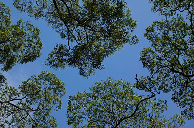
Forest canopy at Sepilok Orangutan Rehabilitation Centre
 https://commons.wikimedia.org/wiki/Category:Sepilok_Orangutan_Rehabilitation_Centre#mediaviewer/File:JigsawCanopy.jpg
 Mark J. Fisher
List of States in Malaysia
[an error occurred while processing this directive]About this website

Dear visitor, thank you so much for reading this page. My name is Timothy Tye and my hobby is to find out about places, write about them and share the information with you on this website. I have been writing this site since 5 January 2003. Originally (from 2003 until 2009, the site was called AsiaExplorers. I changed the name to Penang Travel Tips in 2009, even though I describe more than just Penang but everywhere I go (I often need to tell people that "Penang Travel Tips" is not just information about Penang, but information written in Penang), especially places in Malaysia and Singapore, and in all the years since 2003, I have described over 20,000 places.
While I try my best to provide you information as accurate as I can get it to be, I do apologize for any errors and for outdated information which I am unaware. Nevertheless, I hope that what I have described here will be useful to you.
To get to know me better, do follow me on Facebook!
Copyright © 2003-2025 Timothy Tye. All Rights Reserved.