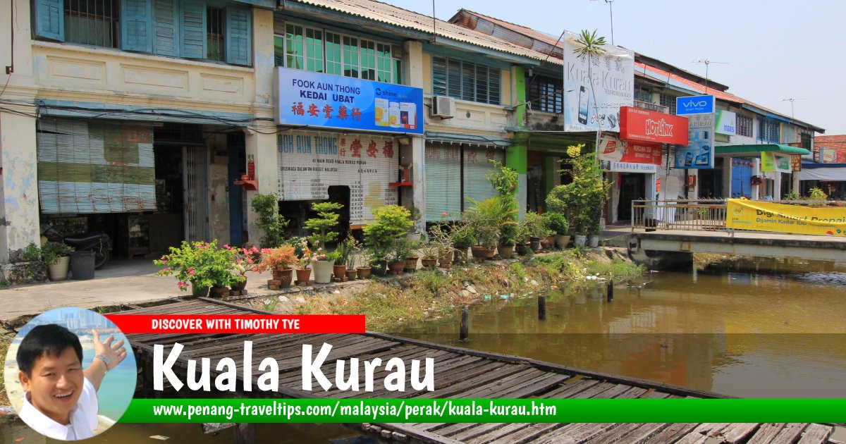
 Kuala Kurau (29 August, 2015)
Kuala Kurau (GPS: 5.01724, 100.43083; Traditional Chinese: 瓜拉古樓; Simplified Chinese: 瓜拉古楼) is a fishing village along the coast of the district of Kerian in northwestern Perak. It is within the same mukim, or subdistrict, as Kuala Gula.
Map of Kuala Kurau, Perak
Sights in Kuala Kurau
- Bagan Seberang (GPS: 5.00841, 100.43017)

- Chua Boon Leng Datuk Kong Temple (GPS: 5.01704, 100.43415)

- Jejantas Kuala Kurau (GPS: 5.01616, 100.43387)

- Kuala Kurau Bridge (GPS: 5.0051, 100.4243)

- Kuala Kurau Hindu Temple (GPS: 5.01861, 100.43235)

- Lim Tian Lai Datuk Kong Temple (GPS: 5.00671, 100.42319)

- Masjid Al-Shafiq (GPS: 5.04134, 100.39333)

- Masjid Al-Taqwa Kuala Kurau (GPS: 5.01494, 100.41557)

- Masjid Jamek Pekan Kuala Kurau (GPS: 5.01872, 100.433)

- Xing Yuan Lu Shui Zha Datuk Kong Temple 興源路水閘籃啅公廟 (GPS: 5.00966, 100.42656)

Kuala Kurau is  on the Map of towns in Perak
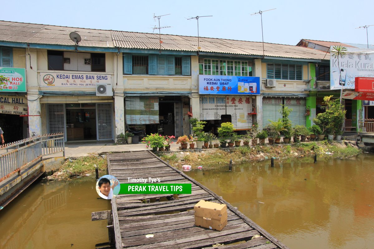 Shophouses in the pekan of Kuala Kurau (29 August, 2015)
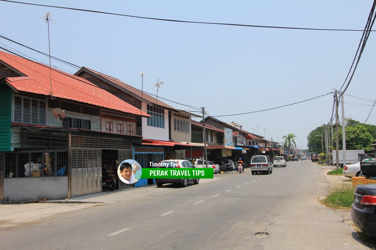 Jalan Pantai (A190), the main road in Kuala Kurau (29 August, 2015)
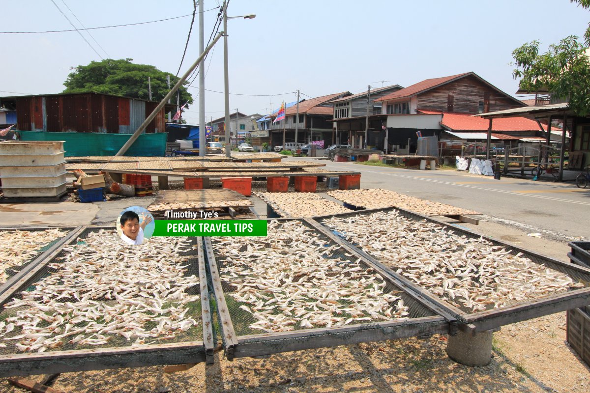 Fishing being laid out to dry, for making salted fish, in Kuala Kurau. (29 August, 2015)
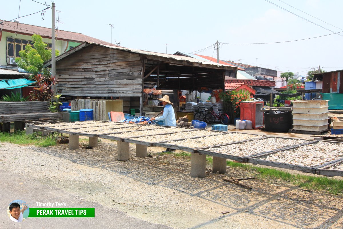 Salted fish maker tending to the fish in the hot sun. (29 August, 2015)
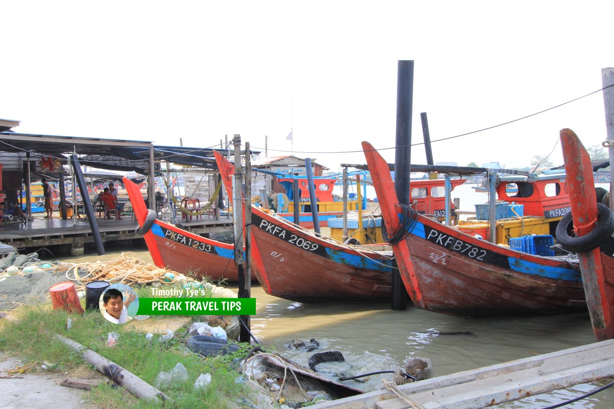 Fishing boats parked along the banks of Sungai Kurau. (29 August, 2015)
Back to Perak mainpage; list of Towns in Perak and Towns in Malaysia
 Latest updates on Penang Travel Tips

Copyright © 2003-2025 Timothy Tye. All Rights Reserved.

 Go Back