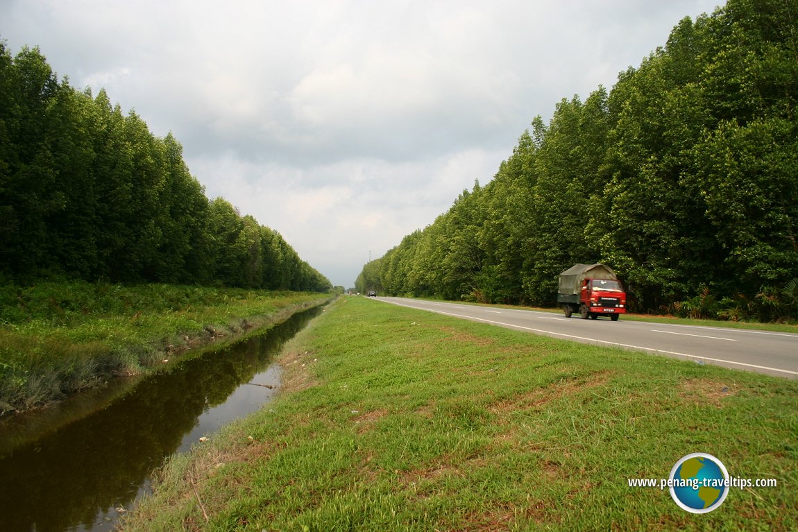
 The main road in Matang, Perak (It is actually called Jalan Taiping-Kuala Sepetang) (16 April, 2005)
Matang (GPS: 4.81816, 100.67356) is a coastal area in Perak that forms part of the Larut, Matang and Selama District. Matang and Larut together share a Municipal Council while Selama is governed by its own Municipal Council.
Matang is characterised by the swampy coastal land. It has a number of fishing village near the coast. The mangrove swamps in Matang produce timber as well as charcoal. A number of charcoal kilns are located in Matang. They continue to produce charcoal the traditional way.
There are a number of protected forests here including the Teluk Kertang Forest Reserve and the Pulau Sangga Besar Forest Reserve. Further south are the Sungai Limau Forest Reserve, Pulau Terong Forest Reserve, Sungai Temerloh Forest Reserve and Pulau Pasir Hitam Forest Reserve. Most of these gazetted reserves are wetlands and semi-wetlands which are often breeding grounds for fish and other marine life.
Map of Matang, Perak
Places of Interest in Matang
- Captain Speedy's Bungalow (GPS: 4.81354, 100.67539)

- Kota Ngah Ibrahim (GPS: 4.81237, 100.67551)

- Matang Mangrove Forest Reserve (GPS: 4.83984, 100.63498)

Categories of sights in Matang
 Matang signboard (31 August, 2015)
360° View of Matang on Google Maps Street View
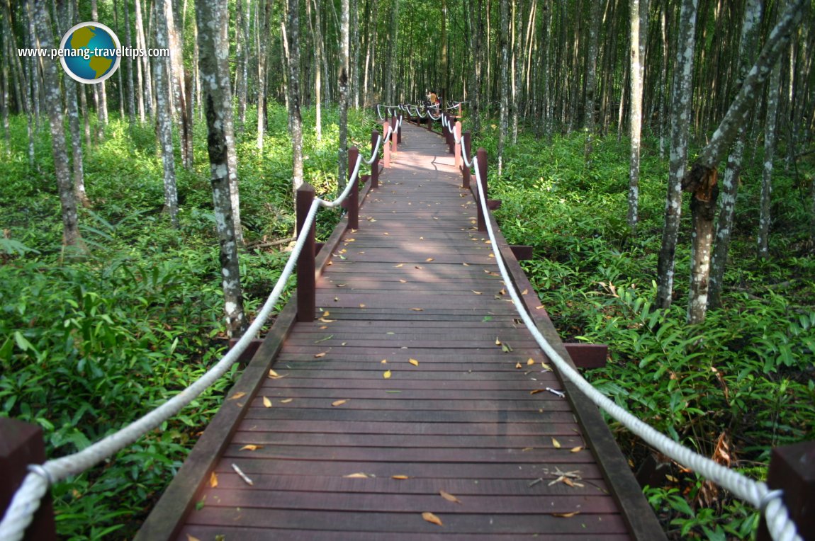
The sharp cornering on Jalan Taiping-Kuala Sepetang, with view of Captain Speedy's Bungalow on the right, and the partially hidden Ngah Ibrahim's Bungalow. Walkway at the Matang Mangrove Forest Reserve (16 April, 2005)
Getting there
Exit the North South Expressway at the Changkat Jering Interchange (Exit 146) an turn left onto Federal Route 1. At the crossroad at Simpang, turn left and you are at Matang.Matang is  on the Map of towns in Perak
Back to Perak mainpage
 Latest updates on Penang Travel Tips

Copyright © 2003-2025 Timothy Tye. All Rights Reserved.

 Go Back